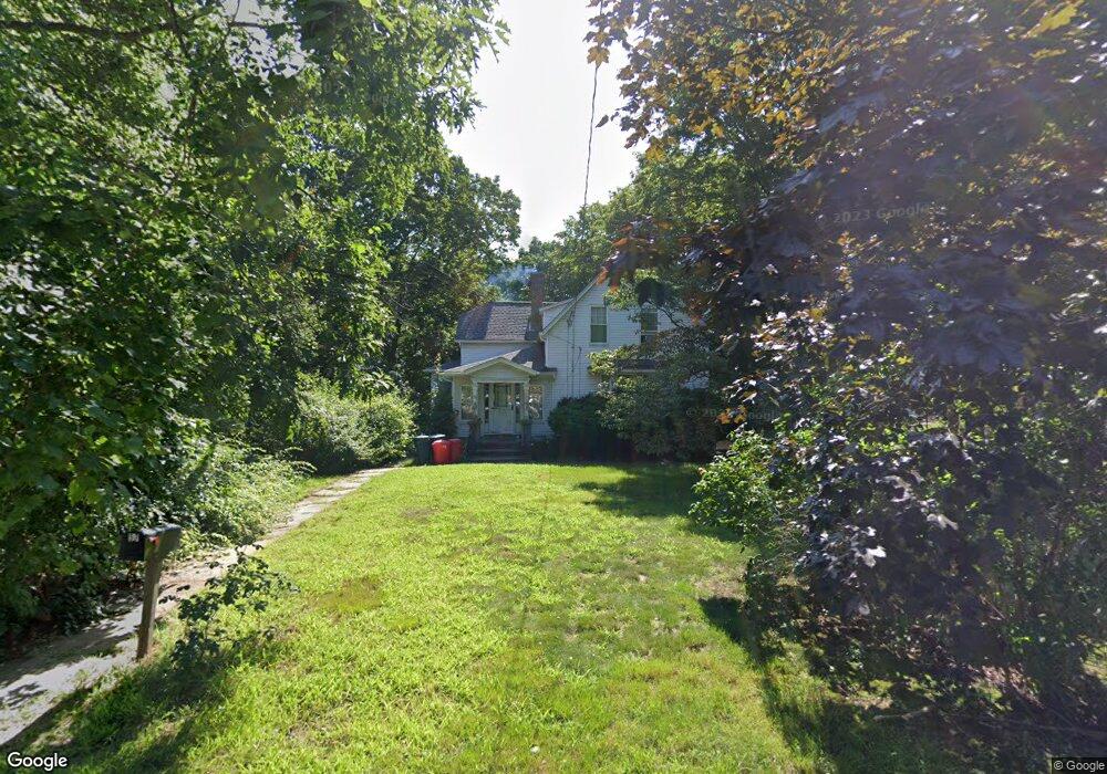
57 Bow St Stoneham, MA 02180
Colonial Park NeighborhoodEstimated Value: $593,000 - $768,000
3
Beds
2
Baths
1,353
Sq Ft
$514/Sq Ft
Est. Value
About This Home
This home is located at 57 Bow St, Stoneham, MA 02180 and is currently estimated at $695,211, approximately $513 per square foot. 57 Bow St is a home located in Middlesex County with nearby schools including Stoneham High School, St. Patrick Elementary School, and St Joseph School.
Ownership History
Date
Name
Owned For
Owner Type
Purchase Details
Closed on
Jul 24, 2015
Sold by
Canney Michelle P
Bought by
Locke Margaret and Locke John
Current Estimated Value
Home Financials for this Owner
Home Financials are based on the most recent Mortgage that was taken out on this home.
Original Mortgage
$328,270
Outstanding Balance
$253,528
Interest Rate
3.75%
Mortgage Type
FHA
Estimated Equity
$441,683
Purchase Details
Closed on
Jan 22, 2015
Sold by
Canney Ada H Est
Bought by
Miller Michelle P
Create a Home Valuation Report for This Property
The Home Valuation Report is an in-depth analysis detailing your home's value as well as a comparison with similar homes in the area
Home Values in the Area
Average Home Value in this Area
Purchase History
| Date | Buyer | Sale Price | Title Company |
|---|---|---|---|
| Locke Margaret | $339,000 | -- | |
| Miller Michelle P | $330,000 | -- |
Source: Public Records
Mortgage History
| Date | Status | Borrower | Loan Amount |
|---|---|---|---|
| Open | Locke Margaret | $328,270 |
Source: Public Records
Tax History
| Year | Tax Paid | Tax Assessment Tax Assessment Total Assessment is a certain percentage of the fair market value that is determined by local assessors to be the total taxable value of land and additions on the property. | Land | Improvement |
|---|---|---|---|---|
| 2025 | $5,907 | $577,400 | $380,800 | $196,600 |
| 2024 | $5,647 | $533,200 | $350,800 | $182,400 |
| 2023 | $5,469 | $492,700 | $320,800 | $171,900 |
| 2022 | $4,706 | $452,100 | $290,800 | $161,300 |
| 2021 | $13,733 | $439,500 | $280,800 | $158,700 |
| 2020 | $4,609 | $427,200 | $270,800 | $156,400 |
| 2019 | $12,652 | $402,700 | $250,800 | $151,900 |
| 2018 | $4,492 | $383,600 | $230,800 | $152,800 |
| 2017 | $4,595 | $370,900 | $220,800 | $150,100 |
| 2016 | $4,548 | $358,100 | $220,800 | $137,300 |
| 2015 | $4,415 | $340,700 | $210,800 | $129,900 |
| 2014 | $4,429 | $328,300 | $200,800 | $127,500 |
Source: Public Records
Map
Nearby Homes
- 4 Garfield Ave
- 51 Spring St
- 58 Washington St
- 35 Tremont St
- 11 Valdora Dr
- 21 Tremont St Unit B
- 21 Tremont St Unit A
- 3 Valley Rd
- 1 Tremont St
- 10 Pomeworth St Unit A
- 8 Common St Unit 3
- 17 Franklin St
- 137 Franklin St Unit 102
- 8 Steele St
- 12 Lovis Ave
- 62 High St Unit Lot 8
- 62 High St Unit 4
- 62 High St Unit Lot 5
- 62 High St Unit Lot 12
- 159 Franklin St Unit D2
Your Personal Tour Guide
Ask me questions while you tour the home.