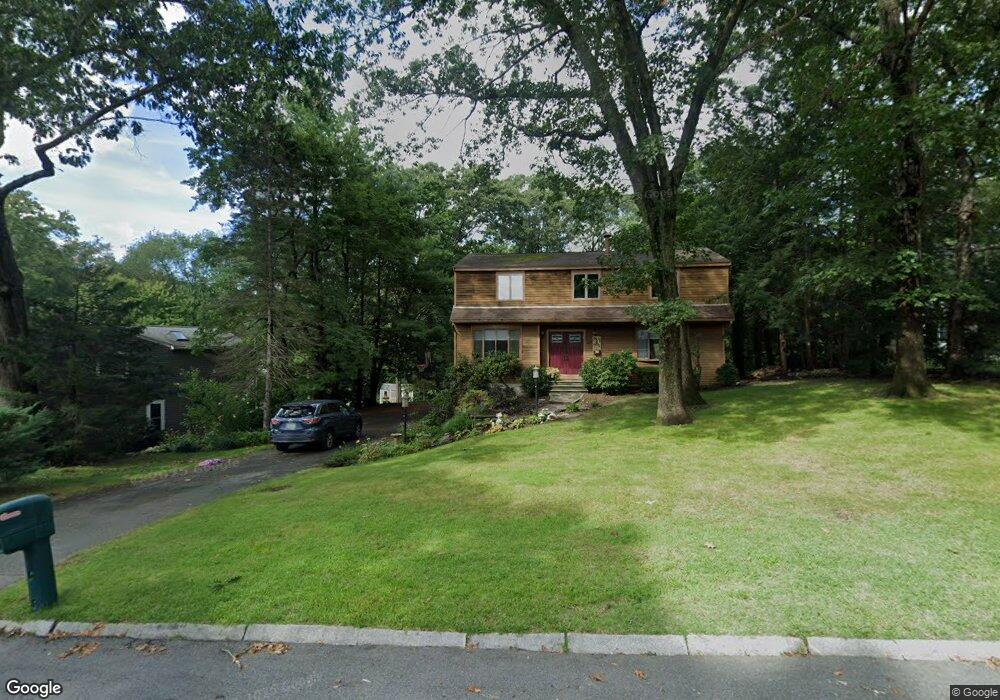
57 Brimstone Way Ashland, MA 01721
Estimated Value: $851,741 - $950,000
4
Beds
3
Baths
2,426
Sq Ft
$373/Sq Ft
Est. Value
About This Home
This home is located at 57 Brimstone Way, Ashland, MA 01721 and is currently estimated at $905,935, approximately $373 per square foot. 57 Brimstone Way is a home located in Middlesex County with nearby schools including William Pittaway Elementary School, Henry E. Warren Elementary School, and David Mindess Elementary School.
Ownership History
Date
Name
Owned For
Owner Type
Purchase Details
Closed on
Apr 26, 1996
Sold by
Stubbert Harry W and Stubbert Patricia A
Bought by
Namiot Andrew C and Tall Deborah S
Current Estimated Value
Purchase Details
Closed on
Nov 16, 1992
Sold by
Lewis Anthony A and Lewis Christine
Bought by
Stubbert Harry W and Stubbert Patricia
Create a Home Valuation Report for This Property
The Home Valuation Report is an in-depth analysis detailing your home's value as well as a comparison with similar homes in the area
Home Values in the Area
Average Home Value in this Area
Purchase History
| Date | Buyer | Sale Price | Title Company |
|---|---|---|---|
| Namiot Andrew C | $230,500 | -- | |
| Stubbert Harry W | $187,500 | -- |
Source: Public Records
Mortgage History
| Date | Status | Borrower | Loan Amount |
|---|---|---|---|
| Open | Stubbert Harry W | $238,000 | |
| Closed | Stubbert Harry W | $15,000 | |
| Closed | Stubbert Harry W | $191,000 |
Source: Public Records
Tax History Compared to Growth
Tax History
| Year | Tax Paid | Tax Assessment Tax Assessment Total Assessment is a certain percentage of the fair market value that is determined by local assessors to be the total taxable value of land and additions on the property. | Land | Improvement |
|---|---|---|---|---|
| 2025 | $9,389 | $735,200 | $267,600 | $467,600 |
| 2024 | $9,170 | $692,600 | $267,600 | $425,000 |
| 2023 | $8,367 | $607,600 | $255,100 | $352,500 |
| 2022 | $8,442 | $531,600 | $231,900 | $299,700 |
| 2021 | $4,469 | $505,500 | $231,900 | $273,600 |
| 2020 | $7,830 | $484,500 | $235,700 | $248,800 |
| 2019 | $7,639 | $469,200 | $235,700 | $233,500 |
| 2018 | $13,487 | $450,800 | $233,500 | $217,300 |
| 2017 | $194 | $439,300 | $234,700 | $204,600 |
| 2016 | $7,087 | $416,900 | $231,800 | $185,100 |
| 2015 | $6,930 | $400,600 | $220,500 | $180,100 |
| 2014 | $6,723 | $386,600 | $203,500 | $183,100 |
Source: Public Records
Map
Nearby Homes
- 102 Captain Eames Cir
- 120 Prospect St
- 49 Prospect St
- 24 Old Connecticut Path
- 343 Captain Eames Cir Unit 38-C
- 25 Prospect St
- 76 Algonquin Trail
- 379 Captain Eames Cir
- 158 Algonquin Trail
- 45 Half Crown Cir
- 277 Meeting House Path
- 37 James Rd
- 638 Main St
- 97 Meeting House Path Unit 97
- 157 Leland Farm Rd
- 74 Meeting House Path
- 72 Meeting House Path
- 8 Raymond Way
- 63 Trailside Way Unit 63
- 67 Spyglass Hill Dr
- 53 Brimstone Way
- 61 Brimstone Way
- 49 Brimstone Way
- 44 Davis Farm Rd
- 45 Brimstone Way
- 40 Brimstone Way
- 42 Davis Farm Rd
- 9 Bay Colony Dr
- 37 Davis Farm Rd
- 41 Brimstone Way
- 38 Davis Farm Rd
- 33 Davis Farm Rd
- 11 Bay Colony Dr
- 37 Brimstone Way
- 36 Brimstone Way
- 34 Davis Farm Rd
- 29 Davis Farm Rd
- 33 Brimstone Way
- 10 Bay Colony Dr
- 32 Brimstone Way