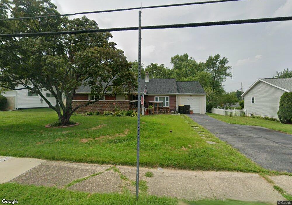
57 Burnside Ave Norristown, PA 19403
West Norriton Township NeighborhoodEstimated Value: $360,000 - $372,000
3
Beds
2
Baths
1,422
Sq Ft
$258/Sq Ft
Est. Value
About This Home
This home is located at 57 Burnside Ave, Norristown, PA 19403 and is currently estimated at $366,812, approximately $257 per square foot. 57 Burnside Ave is a home located in Montgomery County with nearby schools including Charles Blockson Middle School, Paul V Fly Elementary School, and East Norriton Middle School.
Ownership History
Date
Name
Owned For
Owner Type
Purchase Details
Closed on
Mar 26, 2021
Sold by
Reichert Kirk B and Reichert Albert J
Bought by
Reichert Erica
Current Estimated Value
Home Financials for this Owner
Home Financials are based on the most recent Mortgage that was taken out on this home.
Original Mortgage
$200,000
Outstanding Balance
$180,184
Interest Rate
3%
Mortgage Type
New Conventional
Estimated Equity
$186,628
Purchase Details
Closed on
Jun 24, 2013
Sold by
Reichert Kirk B
Bought by
Reichert Kirk B and Reichert Albert J
Create a Home Valuation Report for This Property
The Home Valuation Report is an in-depth analysis detailing your home's value as well as a comparison with similar homes in the area
Home Values in the Area
Average Home Value in this Area
Purchase History
| Date | Buyer | Sale Price | Title Company |
|---|---|---|---|
| Reichert Erica | $250,000 | None Available | |
| Reichert Kirk B | -- | None Available |
Source: Public Records
Mortgage History
| Date | Status | Borrower | Loan Amount |
|---|---|---|---|
| Open | Reichert Erica | $200,000 |
Source: Public Records
Tax History Compared to Growth
Tax History
| Year | Tax Paid | Tax Assessment Tax Assessment Total Assessment is a certain percentage of the fair market value that is determined by local assessors to be the total taxable value of land and additions on the property. | Land | Improvement |
|---|---|---|---|---|
| 2025 | $4,762 | $97,470 | $42,410 | $55,060 |
| 2024 | $4,762 | $97,470 | $42,410 | $55,060 |
| 2023 | $4,708 | $97,470 | $42,410 | $55,060 |
| 2022 | $4,678 | $97,470 | $42,410 | $55,060 |
| 2021 | $4,649 | $97,470 | $42,410 | $55,060 |
| 2020 | $4,511 | $97,470 | $42,410 | $55,060 |
| 2019 | $4,410 | $97,470 | $42,410 | $55,060 |
| 2018 | $3,598 | $97,470 | $42,410 | $55,060 |
| 2017 | $4,163 | $97,470 | $42,410 | $55,060 |
| 2016 | $4,125 | $97,470 | $42,410 | $55,060 |
| 2015 | $3,822 | $97,470 | $42,410 | $55,060 |
| 2014 | $3,822 | $97,470 | $42,410 | $55,060 |
Source: Public Records
Map
Nearby Homes
- 2055 W Marshall St
- 37 Burnside Ave
- 32 Miami Rd
- 136 Markley Farm Cir
- 2020 Davis Dr
- 68 Jefferson Ave
- 2020 Sterigere St
- 709 Middleton Place
- 1107 Middleton Place
- 1749 W Marshall St
- 00 Arden Dr Unit METHACTON SCHOOL
- 1104 Arden Dr Unit METHACTON SCHOOL
- 2008 Hemlock Rd
- 137 Avondale Rd
- 108 N Prospect Ave
- 166 Hoover Ave
- 1613 Countryside Ln
- 155 Avondale Rd
- 1635 W Marshall W Marshall St
- 2158 Alexander Dr
- 55 Burnside Ave
- 59 Burnside Ave
- 53 Burnside Ave
- 56 Crawford Dr
- 58 Crawford Dr
- 54 Crawford Dr
- 51 Burnside Ave
- 2055 Palmer Dr
- 58 Burnside Ave
- 56 Burnside Ave
- 54 Burnside Ave
- 65 Burnside Ave
- 2105 Weber Ln
- 64 Burnside Ave
- 49 Burnside Ave
- 52 Crawford Dr
- 50 Burnside Ave
- 2107 Weber Ln
- 69 Burnside Ave
- 2053 Palmer Dr