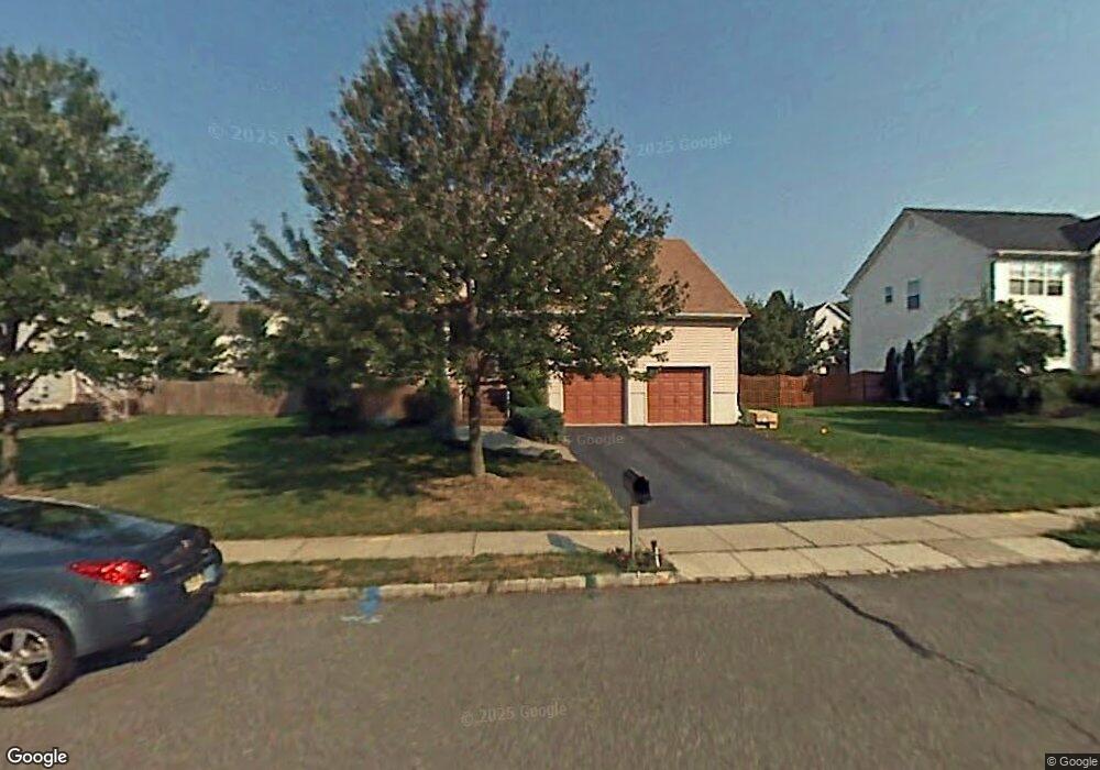
57 Campbell Rd Hillsborough, NJ 08844
Estimated Value: $801,149 - $904,000
--
Bed
--
Bath
2,582
Sq Ft
$327/Sq Ft
Est. Value
About This Home
This home is located at 57 Campbell Rd, Hillsborough, NJ 08844 and is currently estimated at $843,037, approximately $326 per square foot. 57 Campbell Rd is a home located in Somerset County with nearby schools including Hillsborough High School and St Ann Classical Academy.
Ownership History
Date
Name
Owned For
Owner Type
Purchase Details
Closed on
Mar 27, 1996
Sold by
Courtland Devel
Bought by
Caruso Joe and Caruso Maurine
Current Estimated Value
Home Financials for this Owner
Home Financials are based on the most recent Mortgage that was taken out on this home.
Original Mortgage
$170,000
Outstanding Balance
$7,660
Interest Rate
6.9%
Mortgage Type
Purchase Money Mortgage
Estimated Equity
$835,377
Create a Home Valuation Report for This Property
The Home Valuation Report is an in-depth analysis detailing your home's value as well as a comparison with similar homes in the area
Home Values in the Area
Average Home Value in this Area
Purchase History
| Date | Buyer | Sale Price | Title Company |
|---|---|---|---|
| Caruso Joe | $229,900 | -- |
Source: Public Records
Mortgage History
| Date | Status | Borrower | Loan Amount |
|---|---|---|---|
| Open | Caruso Joe | $170,000 |
Source: Public Records
Tax History Compared to Growth
Tax History
| Year | Tax Paid | Tax Assessment Tax Assessment Total Assessment is a certain percentage of the fair market value that is determined by local assessors to be the total taxable value of land and additions on the property. | Land | Improvement |
|---|---|---|---|---|
| 2025 | $15,082 | $812,100 | $335,900 | $476,200 |
| 2024 | $15,082 | $703,800 | $335,900 | $367,900 |
| 2023 | $13,818 | $641,800 | $330,900 | $310,900 |
| 2022 | $13,726 | $614,700 | $305,900 | $308,800 |
| 2021 | $12,952 | $551,600 | $240,900 | $310,700 |
| 2020 | $12,995 | $545,100 | $225,900 | $319,200 |
| 2019 | $12,784 | $531,800 | $210,900 | $320,900 |
| 2018 | $12,872 | $532,100 | $205,900 | $326,200 |
| 2017 | $12,923 | $535,100 | $155,900 | $379,200 |
| 2016 | $11,913 | $493,500 | $155,900 | $337,600 |
| 2015 | $11,703 | $490,900 | $150,900 | $340,000 |
| 2014 | $10,538 | $451,500 | $150,900 | $300,600 |
Source: Public Records
Map
Nearby Homes
- 55 Campbell Rd
- 59 Campbell Rd
- 102 Nostrand Rd
- 100 Nostrand Rd
- 108 Nostrand Rd
- 98 Nostrand Rd
- 66 Campbell Rd
- 53 Campbell Rd
- 64 Campbell Rd
- 1 Campbell Rd
- 106 Nostrand Rd
- 61 Campbell Rd
- 68 Campbell Rd
- 96 Nostrand Rd
- 104 Nostrand Rd
- 110 Nostrand Rd
- 62 Campbell Rd
- 90 Nostrand Rd
- 94 Nostrand Rd
- 70 Campbell Rd