57 Cedar Cove Rd Reeds Spring, MO 65737
Estimated Value: $131,825 - $312,000
1
Bed
1
Bath
576
Sq Ft
$386/Sq Ft
Est. Value
About This Home
This home is located at 57 Cedar Cove Rd, Reeds Spring, MO 65737 and is currently estimated at $222,206, approximately $385 per square foot. 57 Cedar Cove Rd is a home located in Stone County with nearby schools including Reeds Spring Primary School, Reeds Spring Elementary School, and Reeds Spring Middle School.
Ownership History
Date
Name
Owned For
Owner Type
Purchase Details
Closed on
Sep 17, 2009
Sold by
Samuel Kelly D and Samuel Michael L
Bought by
Bank Of America Na
Current Estimated Value
Purchase Details
Closed on
Aug 1, 2007
Sold by
Samuel Properties L L C
Bought by
Cani Investments Llc
Purchase Details
Closed on
Mar 15, 2007
Sold by
Samuel Michae and Samuel Michael L
Bought by
Samuel Prioperties Llc
Purchase Details
Closed on
Apr 19, 2005
Sold by
Blythe Clara
Bought by
Rogers Ronald O
Home Financials for this Owner
Home Financials are based on the most recent Mortgage that was taken out on this home.
Original Mortgage
$23,620
Interest Rate
7%
Mortgage Type
Purchase Money Mortgage
Purchase Details
Closed on
Oct 1, 2004
Sold by
Soriggs John and Soriggs Tabitha
Bought by
Cedar Cove Park Sewer Association
Create a Home Valuation Report for This Property
The Home Valuation Report is an in-depth analysis detailing your home's value as well as a comparison with similar homes in the area
Home Values in the Area
Average Home Value in this Area
Purchase History
| Date | Buyer | Sale Price | Title Company |
|---|---|---|---|
| Bank Of America Na | $41,978 | -- | |
| Cani Investments Llc | -- | None Available | |
| Samuel Prioperties Llc | -- | None Available | |
| Rogers Ronald O | -- | -- | |
| Dalton Leanna | -- | -- | |
| Clara Blythe Revocable Living Trust | -- | -- | |
| Cedar Cove Park Sewer Association | -- | -- |
Source: Public Records
Mortgage History
| Date | Status | Borrower | Loan Amount |
|---|---|---|---|
| Previous Owner | Dalton Leanna | $23,620 |
Source: Public Records
Tax History Compared to Growth
Tax History
| Year | Tax Paid | Tax Assessment Tax Assessment Total Assessment is a certain percentage of the fair market value that is determined by local assessors to be the total taxable value of land and additions on the property. | Land | Improvement |
|---|---|---|---|---|
| 2024 | $333 | $6,800 | -- | -- |
| 2023 | $333 | $6,800 | $0 | $0 |
| 2022 | $331 | $6,800 | $0 | $0 |
| 2021 | $335 | $6,800 | $0 | $0 |
| 2020 | $295 | $6,800 | $0 | $0 |
| 2019 | $293 | $6,800 | $0 | $0 |
| 2018 | $293 | $6,800 | $0 | $0 |
| 2017 | $313 | $7,260 | $0 | $0 |
| 2016 | $305 | $7,260 | $0 | $0 |
| 2015 | $305 | $7,260 | $0 | $0 |
| 2014 | $300 | $7,260 | $0 | $0 |
| 2012 | -- | $7,260 | $0 | $0 |
Source: Public Records
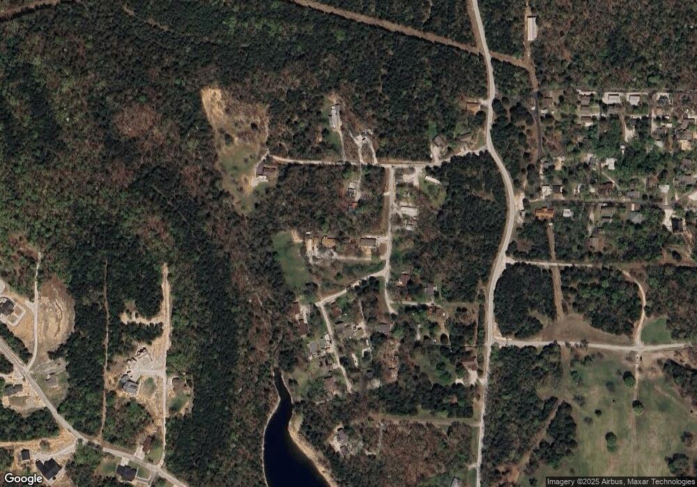
Map
Nearby Homes
- 92 Cedar Cove Rd
- 163 Cedar Cove Rd
- 1101 Lake Bluff Dr
- 64 Ridgemont Cir
- Tbd-Lot 1c Lake Bluff Dr
- 125 Ridgemont Cir
- Lot 63a Ridgemont Cir
- 6 Briar Oaks Ln
- 000 Eagle Ridge Ln
- Tbd Cool Creek Rd
- 127 Trails End St
- 7a,7b & 7c Lake Expressway Trail
- 6089 State Hwy Dd #204 Rd
- 6089 State Highway Dd Unit 103
- 88 Lake Expressway Trail
- 000 White Rockbluff
- 375 Slane Chapel Rd
- 000 Slane Chapel Rd
- 67 the Poet Place
- 478 White Rockbluff Dr
- 115 Cedar Cove Rd
- 000 Cedar Cove Rd
- 8 Cedar Cove Rd
- Lot 12 Cedar Cove Rd
- LOT 14 Cedar Cove Rd
- LOT 11 Cedar Cove Rd
- Lot 10 Cedar Cove Rd
- 34 Cedar Cove Rd
- 150 Cedar Cove Rd
- 37 Gateway Ln
- 10 Cedar Cove Rd
- Tbd Cedar Cove Park
- 34 Swan Ln
- 34 Swan Ln
- 0 Tiny Tree Dr Unit 60159317
- 0 Tiny Tree Dr
- 0 Tiny Tree Dr
- 199 Cedar Cove Rd
- 107 Tiny Tree Dr
- 54 Swan Ln