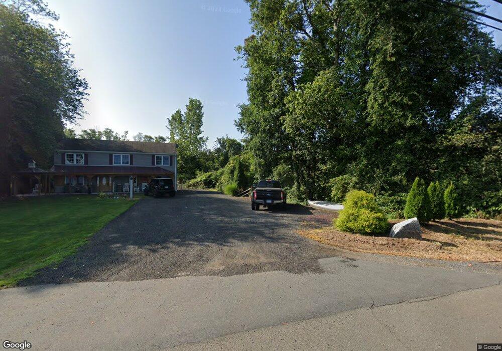
57 Cedar Lake Rd Unit 2 Chester, CT 06412
Estimated Value: $483,000 - $548,000
3
Beds
2
Baths
1,536
Sq Ft
$339/Sq Ft
Est. Value
About This Home
This home is located at 57 Cedar Lake Rd Unit 2, Chester, CT 06412 and is currently estimated at $520,907, approximately $339 per square foot. 57 Cedar Lake Rd Unit 2 is a home located in Middlesex County with nearby schools including Valley Regional High School.
Ownership History
Date
Name
Owned For
Owner Type
Purchase Details
Closed on
May 1, 2009
Sold by
Evarts Frederick and Evarts Denise
Bought by
Williams Joel and Williams Jennifer
Current Estimated Value
Home Financials for this Owner
Home Financials are based on the most recent Mortgage that was taken out on this home.
Original Mortgage
$252,000
Outstanding Balance
$159,305
Interest Rate
4.86%
Mortgage Type
Purchase Money Mortgage
Estimated Equity
$361,602
Create a Home Valuation Report for This Property
The Home Valuation Report is an in-depth analysis detailing your home's value as well as a comparison with similar homes in the area
Home Values in the Area
Average Home Value in this Area
Purchase History
| Date | Buyer | Sale Price | Title Company |
|---|---|---|---|
| Williams Joel | $315,000 | -- | |
| Williams Joel | $315,000 | -- |
Source: Public Records
Mortgage History
| Date | Status | Borrower | Loan Amount |
|---|---|---|---|
| Open | Williams Joel | $252,000 | |
| Closed | Williams Joel | $252,000 |
Source: Public Records
Tax History Compared to Growth
Tax History
| Year | Tax Paid | Tax Assessment Tax Assessment Total Assessment is a certain percentage of the fair market value that is determined by local assessors to be the total taxable value of land and additions on the property. | Land | Improvement |
|---|---|---|---|---|
| 2025 | $7,361 | $271,810 | $89,740 | $182,070 |
| 2024 | $6,646 | $271,810 | $89,740 | $182,070 |
| 2023 | $5,448 | $183,420 | $86,340 | $97,080 |
| 2022 | $5,411 | $183,420 | $86,340 | $97,080 |
| 2021 | $5,411 | $183,420 | $86,340 | $97,080 |
| 2020 | $5,249 | $183,420 | $86,340 | $97,080 |
| 2019 | $5,281 | $183,420 | $86,340 | $97,080 |
| 2018 | $5,082 | $187,470 | $91,420 | $96,050 |
| 2017 | $4,942 | $187,470 | $91,420 | $96,050 |
| 2016 | $3,779 | $187,470 | $91,420 | $96,050 |
| 2015 | $4,747 | $187,470 | $91,420 | $96,050 |
| 2014 | $4,653 | $187,470 | $91,420 | $96,050 |
Source: Public Records
Map
Nearby Homes
- 15 Hazen St
- 8 Butter Jones Rd
- 13 Cross Rd
- 8 Route 148
- 88 Winthrop Rd
- 28 S Wig Hill Rd
- 12 Deep Hollow Rd
- 72 Dickinson Rd
- 112 Cedar Swamp Rd
- 511 Route 81
- 12 Rachel Ct
- 100 N Tower Hill Rd
- 43 Bokum Rd
- 538 Winthrop Rd
- 6 W Main St
- 428 Plains Rd
- 35 Maple St
- 16 Bridlepath Trail
- 11 Pleasant Trail
- 0 Glen Grove Rd