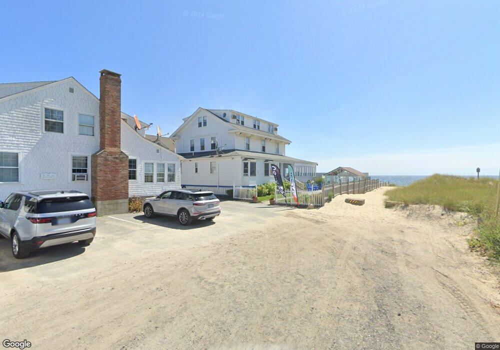
57 Chase Ave Dennis Port, MA 02639
Dennis Port NeighborhoodEstimated Value: $4,285,029
--
Bed
19
Baths
--
Sq Ft
0.75
Acres
About This Home
This home is located at 57 Chase Ave, Dennis Port, MA 02639 and is currently estimated at $4,285,029. 57 Chase Ave is a home located in Barnstable County with nearby schools including Dennis-Yarmouth Regional High School and St. Pius X. School.
Ownership History
Date
Name
Owned For
Owner Type
Purchase Details
Closed on
Dec 24, 2019
Sold by
Kossifos Helen N Est and Kossifos
Bought by
Cape T T and Cape Narbonne
Current Estimated Value
Home Financials for this Owner
Home Financials are based on the most recent Mortgage that was taken out on this home.
Original Mortgage
$1,800,200
Outstanding Balance
$1,586,854
Interest Rate
3.7%
Mortgage Type
Purchase Money Mortgage
Estimated Equity
$2,698,175
Create a Home Valuation Report for This Property
The Home Valuation Report is an in-depth analysis detailing your home's value as well as a comparison with similar homes in the area
Home Values in the Area
Average Home Value in this Area
Purchase History
| Date | Buyer | Sale Price | Title Company |
|---|---|---|---|
| Cape T T | $2,450,200 | None Available |
Source: Public Records
Mortgage History
| Date | Status | Borrower | Loan Amount |
|---|---|---|---|
| Open | Cape T T | $1,800,200 |
Source: Public Records
Tax History Compared to Growth
Tax History
| Year | Tax Paid | Tax Assessment Tax Assessment Total Assessment is a certain percentage of the fair market value that is determined by local assessors to be the total taxable value of land and additions on the property. | Land | Improvement |
|---|---|---|---|---|
| 2025 | $12,356 | $2,853,600 | $1,714,400 | $1,139,200 |
| 2024 | $12,181 | $2,774,800 | $1,652,100 | $1,122,700 |
| 2023 | $12,339 | $2,642,200 | $1,573,500 | $1,068,700 |
| 2022 | $14,030 | $2,505,400 | $1,484,400 | $1,021,000 |
| 2021 | $14,742 | $2,444,700 | $1,455,300 | $989,400 |
| 2020 | $14,772 | $2,421,600 | $1,444,400 | $977,200 |
| 2019 | $14,951 | $2,423,200 | $1,444,400 | $978,800 |
| 2018 | $15,461 | $2,438,700 | $1,444,400 | $994,300 |
| 2017 | $14,998 | $2,438,700 | $1,444,400 | $994,300 |
| 2016 | $15,799 | $2,419,400 | $1,444,400 | $975,000 |
| 2015 | $15,484 | $2,419,400 | $1,444,400 | $975,000 |
| 2014 | $14,539 | $2,289,600 | $1,444,400 | $845,200 |
Source: Public Records
Map
Nearby Homes
- 11 Ocean Park W
- 1 E Belmont Unit 630
- 9 Chase Ave Unit 6
- 1 Belmont Rd Unit 630
- 1 Belmont Rd Unit 513
- 405 Old Wharf Rd Unit B204
- 405 Old Wharf Rd Unit B204
- 402 Old Wharf Rd
- 402 Old Wharf Rd
- 26 Manning Rd
- 102 Sea St
- 3 Fairbanks Dr
- 159 Center St Unit 22
- 12 Cross St
- 22 Ferncliff Rd
- 19 Riverway
- 19 Riverway
- 73 Division St
- 37-A Beach Hills Rd
- 148 Belmont Rd
- 51 Chase Ave
- 45 Chase Ave
- 0 Chase Ave
- 12 Chase Ave
- 2 Chase Ave
- 6 Chase Ave
- 12 Chase Ave
- 24 Chase Ave
- 5 Chase Ave
- 41 Chase Ave Unit 16
- 41 Chase Ave Unit 25
- 41 Chase Ave Unit 7
- 41 Chase Ave Unit 3
- 41 Chase Ave Unit 17
- 41 Chase Ave Unit 12
- 41 Chase Ave Unit 15
- 41 Chase Ave Unit 24
- 41 Chase Ave Unit 5
- 41 Chase Ave Unit 21
- 41 Chase Ave Unit 26