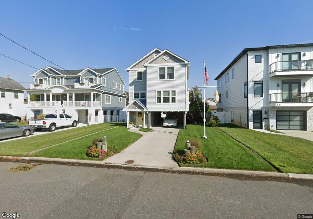
57 Columbia Ave Long Branch, NJ 07740
Estimated Value: $557,000 - $942,829
3
Beds
2
Baths
1,446
Sq Ft
$541/Sq Ft
Est. Value
About This Home
This home is located at 57 Columbia Ave, Long Branch, NJ 07740 and is currently estimated at $782,707, approximately $541 per square foot. 57 Columbia Ave is a home located in Monmouth County with nearby schools including Long Branch High School and Holy Trinity School.
Ownership History
Date
Name
Owned For
Owner Type
Purchase Details
Closed on
Jul 31, 1998
Sold by
Somers Timothy
Bought by
Teresi Margaret
Current Estimated Value
Home Financials for this Owner
Home Financials are based on the most recent Mortgage that was taken out on this home.
Original Mortgage
$84,000
Outstanding Balance
$17,493
Interest Rate
6.9%
Estimated Equity
$765,214
Purchase Details
Closed on
Mar 18, 1996
Sold by
American Underwriters
Bought by
Promised Land Ltd
Create a Home Valuation Report for This Property
The Home Valuation Report is an in-depth analysis detailing your home's value as well as a comparison with similar homes in the area
Home Values in the Area
Average Home Value in this Area
Purchase History
| Date | Buyer | Sale Price | Title Company |
|---|---|---|---|
| Teresi Margaret | $114,000 | -- | |
| Promised Land Ltd | $110,000 | -- |
Source: Public Records
Mortgage History
| Date | Status | Borrower | Loan Amount |
|---|---|---|---|
| Open | Teresi Margaret | $84,000 |
Source: Public Records
Tax History Compared to Growth
Tax History
| Year | Tax Paid | Tax Assessment Tax Assessment Total Assessment is a certain percentage of the fair market value that is determined by local assessors to be the total taxable value of land and additions on the property. | Land | Improvement |
|---|---|---|---|---|
| 2025 | $10,561 | $798,400 | $467,300 | $331,100 |
| 2024 | $9,793 | $687,100 | $367,300 | $319,800 |
| 2023 | $9,793 | $630,600 | $322,300 | $308,300 |
| 2022 | $8,626 | $464,800 | $214,500 | $250,300 |
| 2021 | $8,626 | $431,100 | $194,500 | $236,600 |
| 2020 | $8,396 | $401,700 | $176,500 | $225,200 |
| 2019 | $7,914 | $376,500 | $159,500 | $217,000 |
| 2018 | $7,581 | $358,600 | $149,500 | $209,100 |
| 2017 | $7,249 | $351,700 | $144,500 | $207,200 |
| 2016 | $2,045 | $101,200 | $101,200 | $0 |
| 2015 | $1,931 | $86,700 | $86,700 | $0 |
| 2014 | $3,723 | $176,200 | $121,700 | $54,500 |
Source: Public Records
Map
Nearby Homes
- 8 Ocean Ave
- 17 Riviera Dr
- 50 Valentine St Unit 27A
- 50 Valentine St Unit 12B
- 43 Valentine St
- 16 Anderson St
- 9 Manahassett Park Dr
- 9 Woolley St
- 432 Ocean Blvd N Unit 118
- 432 Ocean Blvd N Unit 506
- 432 Ocean Blvd N Unit 315
- 154 Atlantic Ave
- 8 Mann Ct
- 432 Ocean Blvd Unit 208
- 79 Riverdale Ave
- 16 Shore Dr
- 165 Kingsley St
- 55 Ocean Ave Unit 3L
- 55 Ocean Ave Unit 3H
- 13 Bayview Ct
- 55 Columbia Ave
- 59 Columbia Ave
- 53 Columbia Ave
- 61 Columbia Ave
- 51 Columbia Ave
- 14 Cook St
- 14 Cook St Unit Upstairs
- 14 Cook St Unit Downstairs
- 14 Cook St Unit UPPER
- 14 Cook St Unit LOWER
- 12 Cook St
- 519 Church St
- 16 Cook St
- 49 Columbia Ave
- 32 Columbia Ave
- 65 Columbia Ave
- 10 Cook St
- 31 Columbia Ave
- 30 Columbia Ave
- 509 Church St