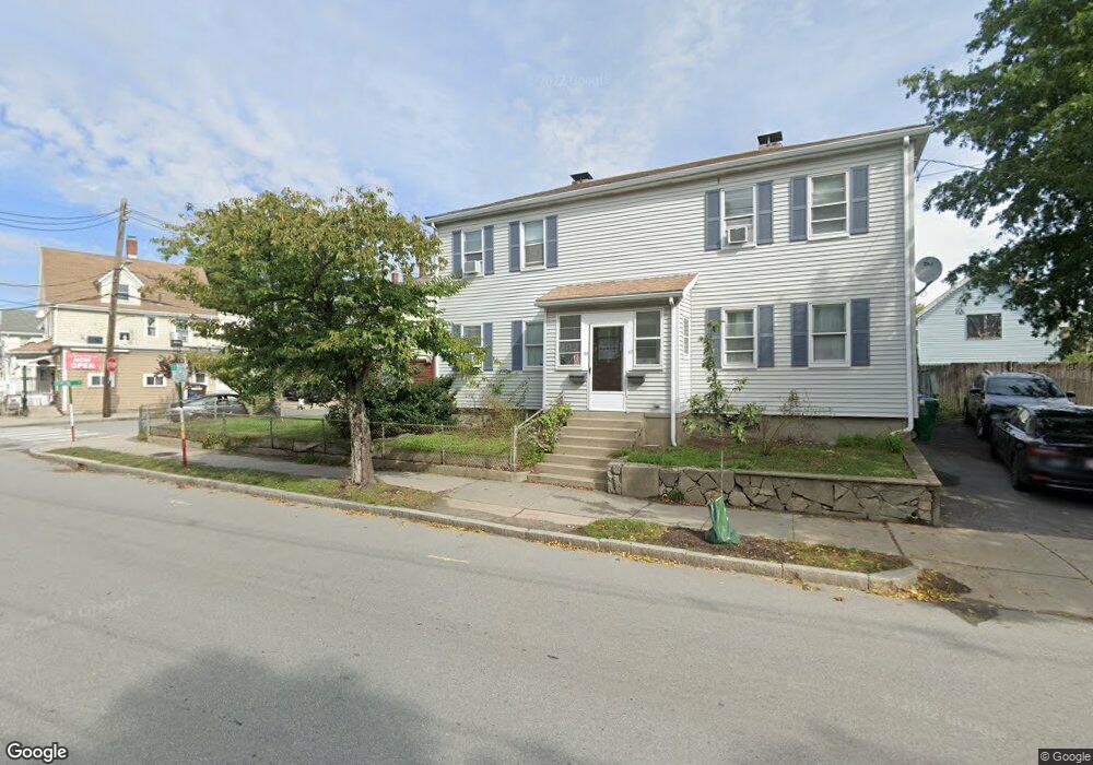
57 Crafts St Unit 59 Newton, MA 02458
Nonantum NeighborhoodEstimated Value: $857,008 - $1,158,000
4
Beds
2
Baths
1,907
Sq Ft
$533/Sq Ft
Est. Value
About This Home
This home is located at 57 Crafts St Unit 59, Newton, MA 02458 and is currently estimated at $1,015,752, approximately $532 per square foot. 57 Crafts St Unit 59 is a home located in Middlesex County with nearby schools including Lincoln-Eliot Elementary School, Bigelow Middle School, and Newton North High School.
Ownership History
Date
Name
Owned For
Owner Type
Purchase Details
Closed on
Apr 13, 2017
Sold by
57-59 Crafts Street Rt
Bought by
Svartstrom Ft
Current Estimated Value
Purchase Details
Closed on
Dec 30, 2016
Sold by
Svartstrom Karl and Svartstrom Karla
Bought by
57-59 Crafts Street Rt
Create a Home Valuation Report for This Property
The Home Valuation Report is an in-depth analysis detailing your home's value as well as a comparison with similar homes in the area
Home Values in the Area
Average Home Value in this Area
Purchase History
| Date | Buyer | Sale Price | Title Company |
|---|---|---|---|
| Svartstrom Ft | -- | -- | |
| 57-59 Crafts Street Rt | -- | -- |
Source: Public Records
Tax History Compared to Growth
Tax History
| Year | Tax Paid | Tax Assessment Tax Assessment Total Assessment is a certain percentage of the fair market value that is determined by local assessors to be the total taxable value of land and additions on the property. | Land | Improvement |
|---|---|---|---|---|
| 2025 | $6,302 | $643,100 | $458,800 | $184,300 |
| 2024 | $6,094 | $624,400 | $445,400 | $179,000 |
| 2023 | $5,821 | $571,800 | $350,900 | $220,900 |
| 2022 | $5,569 | $529,400 | $324,900 | $204,500 |
| 2021 | $5,226 | $485,700 | $298,100 | $187,600 |
| 2020 | $5,071 | $485,700 | $298,100 | $187,600 |
| 2019 | $4,743 | $453,900 | $278,600 | $175,300 |
| 2018 | $4,655 | $430,200 | $261,700 | $168,500 |
| 2017 | $4,389 | $394,700 | $240,100 | $154,600 |
| 2016 | $4,121 | $362,100 | $220,300 | $141,800 |
| 2015 | $3,929 | $338,400 | $205,900 | $132,500 |
Source: Public Records
Map
Nearby Homes
- 22-24 Emerald St
- 77 Court St Unit 205
- 3 Ashmont Ave
- 11 Murphy Ct
- 49 Hawthorn St
- 42-44 Judkins St
- 324 Adams St Unit 2
- 48 Harvard St Unit 1
- 230 Bellevue St Unit 1
- 188-190 Adams St
- 12-14 Middle St
- 86 West St
- 53 West St
- 158 Adams St
- 34 West St Unit A
- 168 Walnut St
- 10 Washington Park
- 10 Washington Park Unit 2
- 10 Washington Park Unit 1
- 110 Harvard St Unit A
- 76 Clinton St
- 49 Crafts St
- 67 Crafts St Unit 69
- 73 Clinton St Unit 75
- 75 Clinton St Unit 75
- 73 Clinton St Unit 2
- 75 Clinton St
- 73-75 Clinton St
- 69 Clinton St
- 64 Crafts St
- 23 Shamrock St
- 17 Shamrock St Unit 2
- 17 Shamrock St
- 17 Shamrock St Unit 1
- 74 Clinton St
- 71 Crafts St
- 67 Clinton St
- 65 Clinton St
- 43 Crafts St
- 38 Crafts St Unit B