57 Daniels Rd Colquitt, GA 39837
Estimated Value: $242,000 - $350,119
3
Beds
3
Baths
2,563
Sq Ft
$107/Sq Ft
Est. Value
About This Home
This home is located at 57 Daniels Rd, Colquitt, GA 39837 and is currently estimated at $275,280, approximately $107 per square foot. 57 Daniels Rd is a home located in Miller County with nearby schools including Miller County Elementary School, Miller County Middle School, and Miller County High School.
Ownership History
Date
Name
Owned For
Owner Type
Purchase Details
Closed on
Aug 18, 2008
Sold by
Easom Kristie
Bought by
Easom Scott
Current Estimated Value
Purchase Details
Closed on
Mar 22, 2005
Sold by
Abbott William Kenneth
Bought by
Fortson Jerry Bruce and Fortson Sharon Lynn
Purchase Details
Closed on
Apr 26, 2001
Sold by
Whittaker Curtis Edward
Bought by
Abbott William Kenneth and Abbott Linda
Create a Home Valuation Report for This Property
The Home Valuation Report is an in-depth analysis detailing your home's value as well as a comparison with similar homes in the area
Home Values in the Area
Average Home Value in this Area
Purchase History
| Date | Buyer | Sale Price | Title Company |
|---|---|---|---|
| Easom Scott | -- | -- | |
| Fortson Jerry Bruce | $18,000 | -- | |
| Abbott William Kenneth | $70,000 | -- |
Source: Public Records
Tax History Compared to Growth
Tax History
| Year | Tax Paid | Tax Assessment Tax Assessment Total Assessment is a certain percentage of the fair market value that is determined by local assessors to be the total taxable value of land and additions on the property. | Land | Improvement |
|---|---|---|---|---|
| 2024 | $4,027 | $121,764 | $5,058 | $116,706 |
| 2023 | $3,174 | $91,083 | $5,058 | $86,025 |
| 2022 | $2,505 | $67,460 | $5,058 | $62,402 |
| 2021 | $2,427 | $66,092 | $5,058 | $61,034 |
| 2020 | $2,427 | $66,092 | $5,058 | $61,034 |
| 2019 | $2,434 | $66,092 | $5,058 | $61,034 |
| 2018 | $2,437 | $66,092 | $5,058 | $61,034 |
| 2017 | $2,437 | $66,092 | $5,058 | $61,034 |
| 2016 | $2,328 | $65,084 | $5,058 | $60,027 |
| 2015 | -- | $75,751 | $6,799 | $68,952 |
| 2014 | -- | $75,751 | $6,799 | $68,952 |
| 2013 | -- | $75,750 | $6,799 | $68,951 |
Source: Public Records
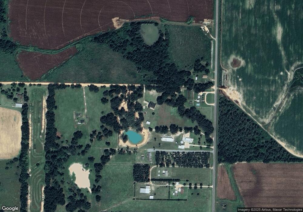
Map
Nearby Homes
- 394 Bush Dairy Rd
- 1645 Georgia 91
- 994 Hornsby Rd
- 308 E Carr St
- 1068 Georgia 39
- lot 564 Martin Dr
- lot 565 Martin Dr
- 210 W Crawford St
- 816 E 6th St
- 508 S Tennille Ave
- 202 W 4th St
- 307 S Morris Ave
- 000 Hagen Still Rd
- 000 Hagen Still Rd
- 403 S Newcombe Ave
- 755 Mayhaw Rd
- 0 Hagen-Still Rd
- 000 Hagen-Still Rd
- Grady Cobb Rd
- 300 W 13th St
- 333 Enterprise Rd
- 351 Enterprise Rd
- 327 Enterprise Rd
- 361 Enterprise Rd
- 315 Enterprise Rd
- 297 Enterprise Rd
- 81 Daniels Rd
- 109 Daniels Rd
- 276 Nobles Rd
- 138 Daniels Rd
- 237 Enterprise Rd
- 157 Daniels Rd
- 240 Nobles Rd
- 185 Daniels Rd
- 143 Nobles Rd
- 390 Lane Rd
- 240 Arline Rd
- 246 Arline Rd
- 208 Arline Rd
- 174 Nobles Rd