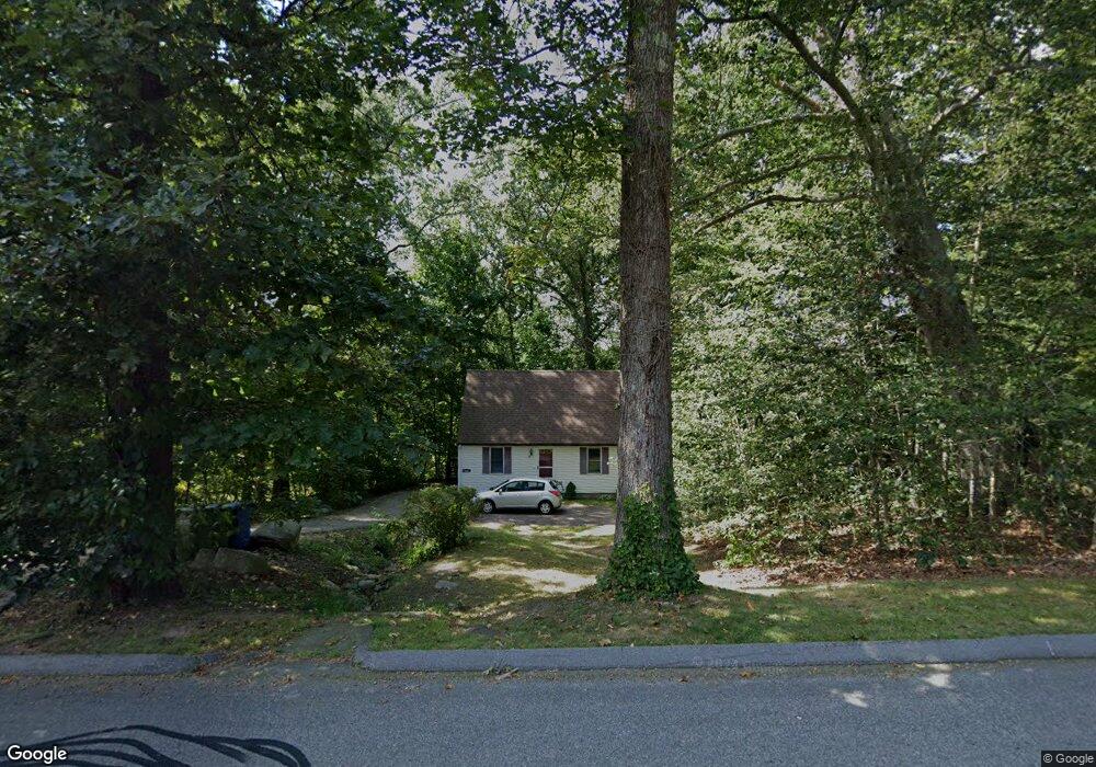
57 Depot Hill Rd Cobalt, CT 06414
Middle Haddam NeighborhoodEstimated Value: $293,036 - $369,000
3
Beds
1
Bath
1,080
Sq Ft
$296/Sq Ft
Est. Value
About This Home
This home is located at 57 Depot Hill Rd, Cobalt, CT 06414 and is currently estimated at $319,509, approximately $295 per square foot. 57 Depot Hill Rd is a home with nearby schools including Memorial School, Center Elementary School, and East Hampton Middle School.
Ownership History
Date
Name
Owned For
Owner Type
Purchase Details
Closed on
May 13, 2002
Sold by
Arduini Michael D
Bought by
Sullivan Gary
Current Estimated Value
Home Financials for this Owner
Home Financials are based on the most recent Mortgage that was taken out on this home.
Original Mortgage
$109,600
Outstanding Balance
$44,059
Interest Rate
6.25%
Estimated Equity
$275,450
Create a Home Valuation Report for This Property
The Home Valuation Report is an in-depth analysis detailing your home's value as well as a comparison with similar homes in the area
Home Values in the Area
Average Home Value in this Area
Purchase History
| Date | Buyer | Sale Price | Title Company |
|---|---|---|---|
| Sullivan Gary | $137,000 | -- | |
| Sullivan Gary | $137,000 | -- |
Source: Public Records
Mortgage History
| Date | Status | Borrower | Loan Amount |
|---|---|---|---|
| Open | Sullivan Gary | $109,600 | |
| Closed | Sullivan Gary | $109,600 | |
| Previous Owner | Sullivan Gary | $87,800 |
Source: Public Records
Tax History Compared to Growth
Tax History
| Year | Tax Paid | Tax Assessment Tax Assessment Total Assessment is a certain percentage of the fair market value that is determined by local assessors to be the total taxable value of land and additions on the property. | Land | Improvement |
|---|---|---|---|---|
| 2025 | $5,076 | $127,830 | $56,990 | $70,840 |
| 2024 | $4,863 | $127,830 | $56,990 | $70,840 |
| 2023 | $4,610 | $127,830 | $56,990 | $70,840 |
| 2022 | $4,431 | $127,830 | $56,990 | $70,840 |
| 2021 | $4,414 | $127,830 | $56,990 | $70,840 |
| 2020 | $4,330 | $130,660 | $58,080 | $72,580 |
| 2019 | $4,533 | $136,770 | $59,710 | $77,060 |
| 2018 | $4,284 | $136,770 | $59,710 | $77,060 |
| 2017 | $4,284 | $136,770 | $59,710 | $77,060 |
| 2016 | $4,027 | $136,770 | $59,710 | $77,060 |
| 2015 | $3,963 | $142,660 | $58,340 | $84,320 |
| 2014 | $3,448 | $142,660 | $58,340 | $84,320 |
Source: Public Records
Map
Nearby Homes
- 0 Gadpouch Rd
- 29 High Point Dr
- 9 Long Hill Rd
- 20 Keighley Pond Rd
- 76 Maple Rd
- 226 W High St
- 58 Middle Haddam Rd
- 92 Pepperidge Rd
- 0 Jobs Pond Rd
- 8 Aldens Crossing
- 28 Childs Rd
- 36 Champion Hill Rd
- 46 Chestnut Hill Rd
- 11 Nutmeg Ln
- 171 Bartlett St
- 0 Gildersleeve Rd
- 76 Skinner St
- 426 Cox Rd Unit 4
- 402 Cox Rd Unit 8
- 414 Cox Rd Unit 6
- 64C Depot Hill Rd
- 37 Depot Hill Rd
- 41 Depot Hill Rd
- 55 Depot Hill Rd
- 64A Depot Hill Rd
- 53 Depot Hill Rd
- 59 Depot Hill Rd
- 49 Depot Hill Rd
- 43 Depot Hill Rd
- 33 Depot Hill Rd
- 63 Depot Hill Rd
- 79 Depot Hill Rd
- 62 Depot Hill Rd
- 66 Depot Hill Rd
- 60 Depot Hill Rd
- 58 Depot Hill Rd
- 1 Timber Trail
- 68 Depot Hill Rd Unit R
- 68 Depot Hill Rd Unit Rear Lot
- 68 Depot Hill Rd