Estimated Value: $101,000 - $222,000
3
Beds
1
Bath
1,056
Sq Ft
$143/Sq Ft
Est. Value
About This Home
This home is located at 57 Dew Ln, Almo, KY 42020 and is currently estimated at $150,667, approximately $142 per square foot. 57 Dew Ln is a home located in Calloway County with nearby schools including North Calloway Elementary School, Calloway County Middle School, and Calloway County High School.
Ownership History
Date
Name
Owned For
Owner Type
Purchase Details
Closed on
Mar 14, 2025
Sold by
Duncan Timothy E
Bought by
Shropshire Brandon C and Shropshire Heaven L
Current Estimated Value
Home Financials for this Owner
Home Financials are based on the most recent Mortgage that was taken out on this home.
Original Mortgage
$284,750
Outstanding Balance
$73,048
Interest Rate
6.95%
Mortgage Type
Construction
Estimated Equity
$77,619
Purchase Details
Closed on
May 30, 2008
Sold by
Duncan Timothy E
Bought by
Duncan Timothy E and Duncan Lisa J
Home Financials for this Owner
Home Financials are based on the most recent Mortgage that was taken out on this home.
Original Mortgage
$79,500
Interest Rate
6%
Mortgage Type
New Conventional
Create a Home Valuation Report for This Property
The Home Valuation Report is an in-depth analysis detailing your home's value as well as a comparison with similar homes in the area
Purchase History
| Date | Buyer | Sale Price | Title Company |
|---|---|---|---|
| Shropshire Brandon C | $150,000 | None Listed On Document | |
| Shropshire Brandon C | $150,000 | None Listed On Document | |
| Duncan Timothy E | -- | None Available |
Source: Public Records
Mortgage History
| Date | Status | Borrower | Loan Amount |
|---|---|---|---|
| Open | Shropshire Brandon C | $284,750 | |
| Closed | Shropshire Brandon C | $284,750 | |
| Previous Owner | Duncan Timothy E | $79,500 |
Source: Public Records
Tax History
| Year | Tax Paid | Tax Assessment Tax Assessment Total Assessment is a certain percentage of the fair market value that is determined by local assessors to be the total taxable value of land and additions on the property. | Land | Improvement |
|---|---|---|---|---|
| 2025 | -- | $0 | $0 | $0 |
| 2024 | -- | $0 | $0 | $0 |
| 2023 | $0 | $0 | $0 | $0 |
| 2022 | $470 | $0 | $0 | $0 |
| 2021 | $470 | $1 | $0 | $0 |
| 2020 | $470 | $0 | $0 | $0 |
| 2019 | $470 | $0 | $0 | $0 |
| 2018 | $0 | $0 | $0 | $0 |
| 2017 | $0 | $0 | $0 | $0 |
| 2016 | $155 | $55,000 | $0 | $0 |
| 2015 | $165 | $55,000 | $0 | $0 |
| 2011 | $165 | $55,000 | $0 | $0 |
Source: Public Records
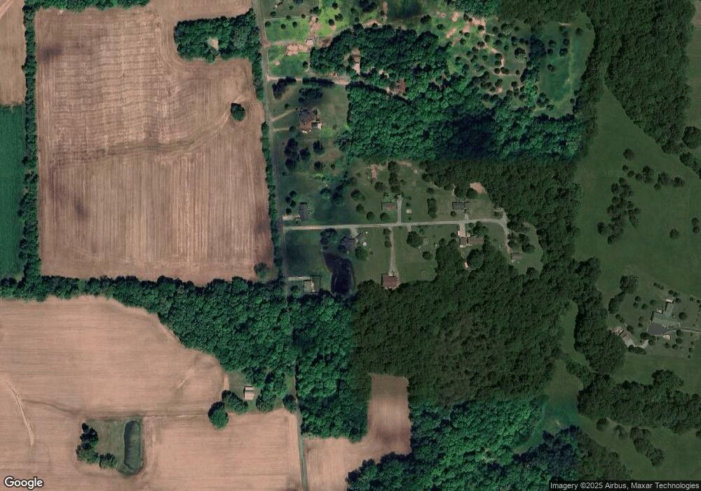
Map
Nearby Homes
- 3780 Almo-Shiloh Rd
- 2314 Deerfield Run
- 00 Streetland Ln
- Lot# 32 Hunters Glen Unit Hunters Pointe
- 0 N State Route 121 Unit 133802
- Lot# 74 Cornwall Dr Unit Hunters Pointe
- Lot 47 Dock Dr
- Lot 181 Deepwood Dr
- Lot 1 Maplewood Estates Unit Maplewood Estates
- Lot 169 Shine Ln
- 0 Cherry Corner Rd Unit LotWP001 23971225
- 0 Hammond Rd Unit LotWP001 24911782
- LOT 184 Yellowbird
- 210 Irvin Cobb Rd
- 138 Deepwood Dr Unit WESTERN SHORES 111 ~
- Lot #6 Sunnyside Ln Unit Oakwood Subdivision
- Lot #7 Sunnyside Ln Unit Oakwood Subdivision
- Lot #8 Sunnyside Ln Unit Oakwood Subdivision
- Lot #10 Mcdougal Dr Unit Oakwood Subdivision
- 10256 State Route 94 E
- 250 Dew Ln
- 119 Dew Ln
- 163 Dew Ln Unit Almo
- 152 Dew Ln
- 163 Dew Ln
- 94 Dew Ln
- 1034 Carl Crisp Rd
- 856 Carl Crisp Rd
- 856 Carl Crisp Rd
- 996 Carl Crisp Rd
- 920 Carl Crisp Rd
- 00 Carl Crisp Rd
- 1126 Carl Crisp Rd
- 1108 Carl Crisp Rd
- 1170 Carl Crisp Rd
- 4518 Van Cleave Rd
- 492 Carl Crisp Rd
- 1212 Carl Crisp Rd
- 2780 Almo Shiloh Rd
- 2742 Almo Shiloh Rd
Your Personal Tour Guide
Ask me questions while you tour the home.