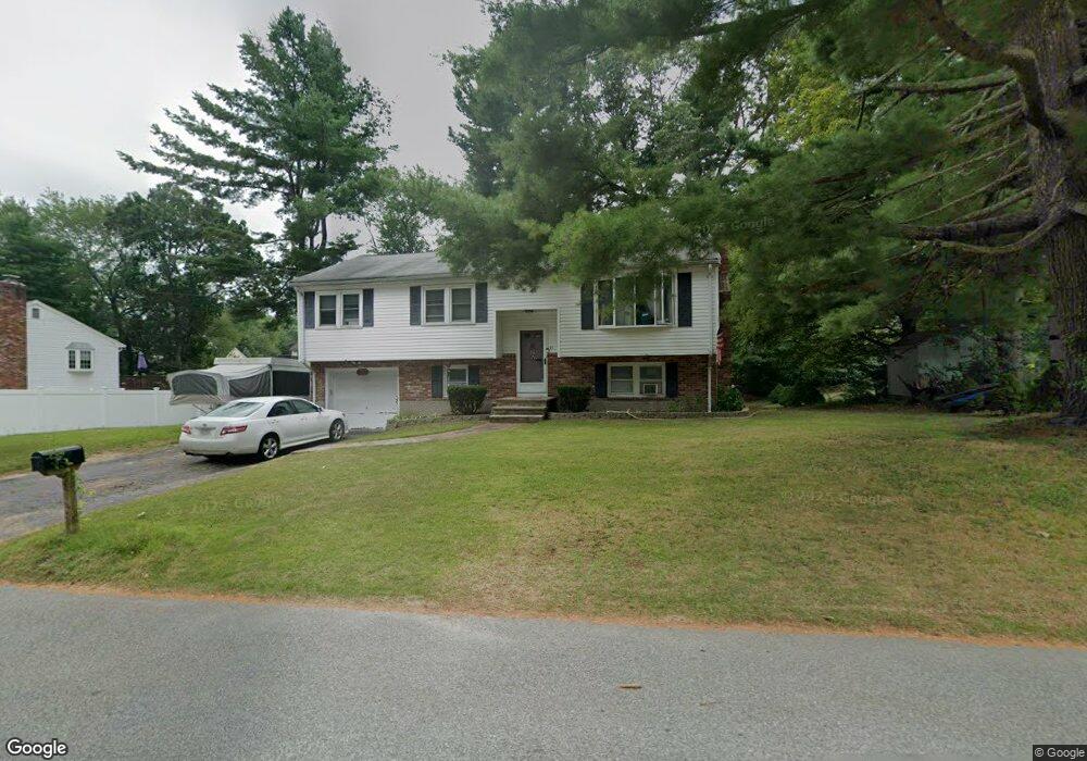
57 Duffy Dr Taunton, MA 02780
Weir Village NeighborhoodEstimated Value: $519,239 - $546,000
3
Beds
1
Bath
1,144
Sq Ft
$465/Sq Ft
Est. Value
About This Home
This home is located at 57 Duffy Dr, Taunton, MA 02780 and is currently estimated at $531,810, approximately $464 per square foot. 57 Duffy Dr is a home located in Bristol County with nearby schools including Elizabeth Pole School, Taunton High School, and John F. Parker Middle School.
Ownership History
Date
Name
Owned For
Owner Type
Purchase Details
Closed on
Jul 28, 2004
Sold by
Borden Ft
Bought by
Sullivan David A and Sullivan Karen E
Current Estimated Value
Home Financials for this Owner
Home Financials are based on the most recent Mortgage that was taken out on this home.
Original Mortgage
$231,900
Outstanding Balance
$117,507
Interest Rate
6.33%
Mortgage Type
Purchase Money Mortgage
Estimated Equity
$414,303
Create a Home Valuation Report for This Property
The Home Valuation Report is an in-depth analysis detailing your home's value as well as a comparison with similar homes in the area
Home Values in the Area
Average Home Value in this Area
Purchase History
| Date | Buyer | Sale Price | Title Company |
|---|---|---|---|
| Sullivan David A | $289,900 | -- |
Source: Public Records
Mortgage History
| Date | Status | Borrower | Loan Amount |
|---|---|---|---|
| Open | Sullivan David A | $231,900 |
Source: Public Records
Tax History Compared to Growth
Tax History
| Year | Tax Paid | Tax Assessment Tax Assessment Total Assessment is a certain percentage of the fair market value that is determined by local assessors to be the total taxable value of land and additions on the property. | Land | Improvement |
|---|---|---|---|---|
| 2025 | $4,762 | $435,300 | $125,500 | $309,800 |
| 2024 | $4,361 | $389,700 | $125,500 | $264,200 |
| 2023 | $4,527 | $375,700 | $131,200 | $244,500 |
| 2022 | $4,265 | $323,600 | $101,700 | $221,900 |
| 2021 | $4,020 | $283,100 | $92,500 | $190,600 |
| 2020 | $3,923 | $264,000 | $92,500 | $171,500 |
| 2019 | $3,995 | $253,500 | $92,500 | $161,000 |
| 2018 | $3,812 | $242,500 | $93,400 | $149,100 |
| 2017 | $3,571 | $227,300 | $88,500 | $138,800 |
| 2016 | $3,446 | $219,800 | $86,000 | $133,800 |
| 2015 | $3,256 | $216,900 | $83,900 | $133,000 |
| 2014 | $3,146 | $215,300 | $83,900 | $131,400 |
Source: Public Records
Map
Nearby Homes
- 28 Barbara Rd
- 55 Donna Terrace
- 26 Maynard St Unit A
- 0 S Main St Unit 73443212
- 165 King James Blvd
- 152 Forgeriver
- 23 Johnson St Unit A
- 23 Johnson St Unit C
- 11 Williams St
- 208 S Main St
- 110 Dean St Unit 102
- 168 Hart St Unit 22
- 106 Alicia Dr
- 600 County St
- 600 County St Lot A
- 600
- 31 Bruno's Way Unit A
- 215 Longmeadow Rd Unit 604
- 215 Longmeadow Rd Unit 403
- 170 Hart St Unit B