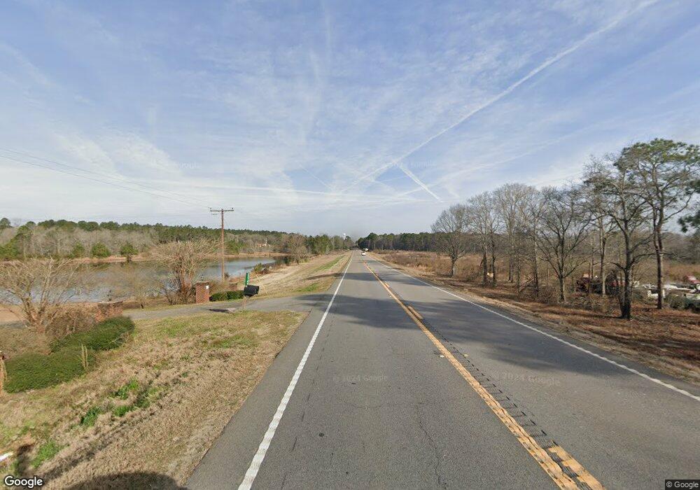
57 E Highway 57 Twin City, GA 30471
Estimated Value: $122,000 - $931,000
3
Beds
1
Bath
1,156
Sq Ft
$455/Sq Ft
Est. Value
About This Home
This home is located at 57 E Highway 57, Twin City, GA 30471 and is currently estimated at $526,500, approximately $455 per square foot. 57 E Highway 57 is a home with nearby schools including Twin City Elementary School.
Ownership History
Date
Name
Owned For
Owner Type
Purchase Details
Closed on
Mar 12, 2018
Sold by
Lllp James A Bunce Fam James A Bunce Family
Bought by
Lllp Carol H Howard Family
Current Estimated Value
Purchase Details
Closed on
Dec 20, 2006
Sold by
Bunce James A
Bought by
Bunce James A Fam and Bunce Partnersh
Purchase Details
Closed on
May 3, 2002
Sold by
Waters Randy
Bought by
Bunce James A
Purchase Details
Closed on
Oct 20, 2000
Sold by
Upper Farm Propertie
Bought by
Bunce James A and Bunce Rand
Purchase Details
Closed on
Sep 24, 1999
Sold by
Mitchell Gloria D
Bought by
Upper Farm Propertie
Create a Home Valuation Report for This Property
The Home Valuation Report is an in-depth analysis detailing your home's value as well as a comparison with similar homes in the area
Home Values in the Area
Average Home Value in this Area
Purchase History
| Date | Buyer | Sale Price | Title Company |
|---|---|---|---|
| Lllp Carol H Howard Family | $434,203 | -- | |
| Bunce James A Fam | -- | -- | |
| Bunce James A | $141,000 | -- | |
| Bunce James A | $216,200 | -- | |
| Upper Farm Propertie | $70,000 | -- |
Source: Public Records
Tax History Compared to Growth
Tax History
| Year | Tax Paid | Tax Assessment Tax Assessment Total Assessment is a certain percentage of the fair market value that is determined by local assessors to be the total taxable value of land and additions on the property. | Land | Improvement |
|---|---|---|---|---|
| 2024 | $1,246 | $81,699 | $79,373 | $2,326 |
| 2023 | $1,212 | $81,633 | $79,373 | $2,260 |
| 2022 | $1,136 | $81,606 | $79,373 | $2,233 |
| 2021 | $1,127 | $81,589 | $79,373 | $2,216 |
| 2020 | $1,181 | $77,139 | $74,125 | $3,014 |
| 2019 | $1,124 | $76,419 | $74,125 | $2,294 |
| 2018 | $2,171 | $75,477 | $72,918 | $2,559 |
| 2017 | $1,880 | $65,209 | $62,710 | $2,499 |
| 2016 | $1,821 | $63,148 | $60,915 | $2,233 |
| 2015 | -- | $62,440 | $60,206 | $2,233 |
| 2014 | -- | $62,344 | $60,206 | $2,138 |
| 2013 | -- | $62,966 | $60,846 | $2,119 |
Source: Public Records
Map
Nearby Homes
- 0 S Old Reidsville Rd Unit 10556290
- 2 Condor Rd
- 1 Condor Rd
- 3 Condor Rd
- 615 Railroad Ave
- S S Old Reidsville Rd
- 0 Highway 1 Unit 160605
- 0 Highway 1 Unit 155239
- 11257 Stillmore Hwy
- 22 Meadowlark Ln
- 501 S Old Reidsville Rd
- 183 Gobbler Ln
- 81 Island Dr
- 187 Georgia 46
- 527 Windmill Rd
- 0 S Us 1 Hwy
- 14450 Stillmore Hwy
- 56 Rock Creek Rd
- 1120 5th Ave
- 217 Mimosa Dr
