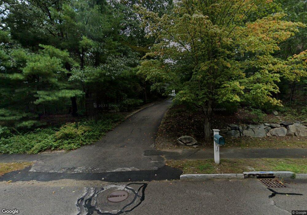
57 Flint Locke Ln Medfield, MA 02052
Estimated Value: $1,963,244 - $2,230,000
5
Beds
6
Baths
5,530
Sq Ft
$376/Sq Ft
Est. Value
About This Home
This home is located at 57 Flint Locke Ln, Medfield, MA 02052 and is currently estimated at $2,078,561, approximately $375 per square foot. 57 Flint Locke Ln is a home located in Norfolk County with nearby schools including Memorial School, Ralph Wheelock School, and Dale Street School.
Ownership History
Date
Name
Owned For
Owner Type
Purchase Details
Closed on
Feb 13, 2009
Sold by
Gross David
Bought by
Berke-Gross Lori B
Current Estimated Value
Purchase Details
Closed on
Jan 13, 2006
Sold by
Brill Jonathan E and Brill Rachel
Bought by
Gross David
Purchase Details
Closed on
Jun 22, 1998
Sold by
Tsimortos Peter S
Bought by
Weir Christian
Create a Home Valuation Report for This Property
The Home Valuation Report is an in-depth analysis detailing your home's value as well as a comparison with similar homes in the area
Home Values in the Area
Average Home Value in this Area
Purchase History
| Date | Buyer | Sale Price | Title Company |
|---|---|---|---|
| Berke-Gross Lori B | -- | -- | |
| Berke-Gross Lori B | -- | -- | |
| Gross David | $1,100,000 | -- | |
| Gross David | $1,100,000 | -- | |
| Weir Christian | $150,000 | -- |
Source: Public Records
Mortgage History
| Date | Status | Borrower | Loan Amount |
|---|---|---|---|
| Previous Owner | Weir Christian | $625,000 |
Source: Public Records
Tax History Compared to Growth
Tax History
| Year | Tax Paid | Tax Assessment Tax Assessment Total Assessment is a certain percentage of the fair market value that is determined by local assessors to be the total taxable value of land and additions on the property. | Land | Improvement |
|---|---|---|---|---|
| 2025 | $22,444 | $1,626,400 | $500,000 | $1,126,400 |
| 2024 | $21,850 | $1,492,500 | $450,300 | $1,042,200 |
| 2023 | $21,151 | $1,370,800 | $432,300 | $938,500 |
| 2022 | $20,448 | $1,173,800 | $414,300 | $759,500 |
| 2021 | $20,087 | $1,131,000 | $410,700 | $720,300 |
| 2020 | $19,622 | $1,100,500 | $401,700 | $698,800 |
| 2019 | $19,257 | $1,077,600 | $390,900 | $686,700 |
| 2018 | $17,841 | $1,047,600 | $378,300 | $669,300 |
| 2017 | $17,611 | $1,042,700 | $374,700 | $668,000 |
| 2016 | $17,103 | $1,021,100 | $353,100 | $668,000 |
| 2015 | $16,683 | $1,040,100 | $347,400 | $692,700 |
| 2014 | $16,778 | $1,040,800 | $348,100 | $692,700 |
Source: Public Records
Map
Nearby Homes
- 6 Alcott Way
- 3 Shining Valley Cir
- 12 Spruce Way
- 18 Hearthstone Dr
- 5 Prentiss Place Unit 5
- 14 Harding St
- 15 Belknap Rd
- 435 Main St Unit B
- 431 Main St Unit 5
- 8 Turtlebrook Way
- 8 Hamlins Crossing
- 5 Hamlins Crossing
- 10 Hillcrest Rd
- 148 Pine St
- 146 Pine St
- 46 Frairy St
- 34 Frairy St
- 144 Pine St
- 3 Hennery Way Bld E Unit 3
- 21 Philip St
- 61 Flint Locke Ln
- 53 Flint Locke Ln
- 65 Flint Locke Ln
- 136 Green St
- 139 Green St
- 131 Green St
- 62 Flint Locke Ln
- 67 Flint Locke Ln
- 66 Flint Locke Ln
- 73 Flint Locke Ln
- 54 Flint Locke Ln
- 77 Flint Locke Ln
- 49 Flint Locke Ln
- 143 Green St
- 70 Flint Locke Ln
- 129 Green St
- 140 Green St
- 81 Flint Locke Ln
- 74 Flint Locke Ln
- 50 Flint Locke Ln