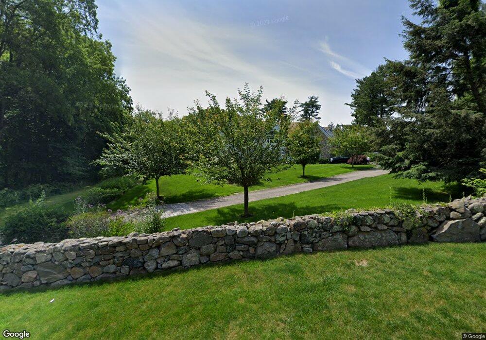
57 Four Winds Ln New Canaan, CT 06840
Estimated Value: $3,286,000 - $4,330,000
5
Beds
7
Baths
5,420
Sq Ft
$695/Sq Ft
Est. Value
About This Home
This home is located at 57 Four Winds Ln, New Canaan, CT 06840 and is currently estimated at $3,767,704, approximately $695 per square foot. 57 Four Winds Ln is a home located in Fairfield County with nearby schools including West Elementary School, Saxe Middle School, and New Canaan High School.
Ownership History
Date
Name
Owned For
Owner Type
Purchase Details
Closed on
May 17, 2010
Sold by
Donaldson Alan P
Bought by
Hibbert Mark A and Hibbert Kristen L
Current Estimated Value
Home Financials for this Owner
Home Financials are based on the most recent Mortgage that was taken out on this home.
Original Mortgage
$1,500,000
Interest Rate
5.11%
Create a Home Valuation Report for This Property
The Home Valuation Report is an in-depth analysis detailing your home's value as well as a comparison with similar homes in the area
Home Values in the Area
Average Home Value in this Area
Purchase History
| Date | Buyer | Sale Price | Title Company |
|---|---|---|---|
| Hibbert Mark A | $1,275,000 | -- |
Source: Public Records
Mortgage History
| Date | Status | Borrower | Loan Amount |
|---|---|---|---|
| Closed | Hibbert Mark A | $500,000 | |
| Open | Hibbert Mark A | $1,060,000 | |
| Closed | Hibbert Mark A | $1,500,000 |
Source: Public Records
Tax History Compared to Growth
Tax History
| Year | Tax Paid | Tax Assessment Tax Assessment Total Assessment is a certain percentage of the fair market value that is determined by local assessors to be the total taxable value of land and additions on the property. | Land | Improvement |
|---|---|---|---|---|
| 2025 | $35,932 | $2,152,920 | $784,000 | $1,368,920 |
| 2024 | $34,748 | $2,152,920 | $784,000 | $1,368,920 |
| 2023 | $35,138 | $1,855,210 | $677,250 | $1,177,960 |
| 2022 | $34,080 | $1,855,210 | $677,250 | $1,177,960 |
| 2021 | $33,691 | $1,855,210 | $677,250 | $1,177,960 |
| 2020 | $33,691 | $1,855,210 | $677,250 | $1,177,960 |
| 2019 | $33,839 | $1,855,210 | $677,250 | $1,177,960 |
| 2018 | $37,507 | $2,211,510 | $696,850 | $1,514,660 |
| 2017 | $36,866 | $2,211,510 | $696,850 | $1,514,660 |
| 2016 | $34,990 | $2,145,290 | $696,850 | $1,448,440 |
| 2015 | $35,526 | $2,145,290 | $696,850 | $1,448,440 |
| 2014 | $33,338 | $2,145,290 | $696,850 | $1,448,440 |
Source: Public Records
Map
Nearby Homes
- 298 Greenley Rd
- 276 Greenley Rd
- 30 Thornwood Rd
- 51 Reeder Ln
- 148 W Hills Rd
- 49 Pinner Ln
- 1580 Ponus Ridge
- 104 Ramhorne Rd
- 19 Skymeadow Dr
- 105 N Stamford Rd
- 40 Hoyclo Rd
- 470 Frogtown Rd Unit Lot 1
- 565 Oenoke Ridge
- 230 & 244 West Rd
- 104 Dans Hwy
- 501 Woodbine Rd
- 518 Woodbine Rd
- 474 Ponus Ridge
- 204 Parade Hill Rd
- 226 Ingleside Dr
- 104 Myanos Rd
- 1081 Ponus Ridge
- 100 Myanos Rd
- 19 4 Winds Ln
- 19 Four Winds Ln
- 1075 Ponus Ridge
- 44 Four Winds Ln
- 44 4 Winds Ln
- 88 Four Winds Ln
- 79 Four Winds Ln
- LT91 Ponus Ridge Rd
- 788 Ponus Ridge Rd
- 1845 Ponus Ridge Rd
- 99 Myanos Rd
- 88 Myanos Rd
- 1135 Ponus Ridge
- 401 Wahackme Rd
- 85 Four Winds Ln
- 1043 Ponus Ridge
- 56 Four Winds Ln