57 Hawk Point Rd Chapel Hill, NC 27516
Estimated Value: $401,000 - $423,000
2
Beds
3
Baths
1,516
Sq Ft
$275/Sq Ft
Est. Value
About This Home
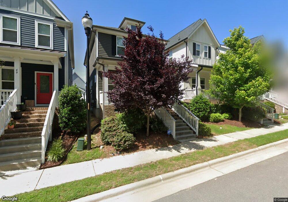
This home is located at 57 Hawk Point Rd, Chapel Hill, NC 27516 and is currently estimated at $416,999, approximately $275 per square foot. 57 Hawk Point Rd is a home located in Chatham County with nearby schools including Margaret B. Pollard Middle School and Woods Charter.
Ownership History
Date
Name
Owned For
Owner Type
Purchase Details
Closed on
Dec 13, 2018
Sold by
Garman Homes Llc
Bought by
Hampton Brea and Brown John
Current Estimated Value
Home Financials for this Owner
Home Financials are based on the most recent Mortgage that was taken out on this home.
Original Mortgage
$242,850
Outstanding Balance
$213,841
Interest Rate
4.87%
Mortgage Type
Adjustable Rate Mortgage/ARM
Estimated Equity
$203,159
Purchase Details
Closed on
Jul 24, 2018
Sold by
Nnp Briar Chapel Llc
Bought by
Garman Homes Llc
Create a Home Valuation Report for This Property
The Home Valuation Report is an in-depth analysis detailing your home's value as well as a comparison with similar homes in the area
Home Values in the Area
Average Home Value in this Area
Purchase History
| Date | Buyer | Sale Price | Title Company |
|---|---|---|---|
| Hampton Brea | $243,000 | None Available | |
| Garman Homes Llc | $139,000 | None Available |
Source: Public Records
Mortgage History
| Date | Status | Borrower | Loan Amount |
|---|---|---|---|
| Open | Hampton Brea | $242,850 |
Source: Public Records
Tax History
| Year | Tax Paid | Tax Assessment Tax Assessment Total Assessment is a certain percentage of the fair market value that is determined by local assessors to be the total taxable value of land and additions on the property. | Land | Improvement |
|---|---|---|---|---|
| 2025 | $3,009 | $406,330 | $101,935 | $304,395 |
| 2024 | $3,009 | $266,797 | $85,840 | $180,957 |
| 2023 | $2,413 | $266,797 | $85,840 | $180,957 |
| 2022 | $2,214 | $266,797 | $85,840 | $180,957 |
| 2021 | $2,187 | $266,797 | $85,840 | $180,957 |
| 2020 | $2,301 | $279,643 | $75,000 | $204,643 |
| 2019 | $2,301 | $279,643 | $75,000 | $204,643 |
| 2018 | $0 | $279,643 | $75,000 | $204,643 |
| 2017 | $0 | $67,500 | $67,500 | $0 |
Source: Public Records
Map
Nearby Homes
- 2311 Great Ridge Pkwy
- 93 Quarter Gate Trace
- 51 Quarter Gate Trace
- 1980 Great Ridge Pkwy
- 89 Meadows Edge Dr
- 145 Meadows Edge Dr
- 366 Granite Mill Blvd
- 361 Old Piedmont Cir
- 366 Old Piedmont Cir
- 442 Granite Mill Blvd
- 254 Deardom Way
- 52 Balfour Run
- 42 Balfour Run
- 132 Deardom Way
- 156 Serenity Hill Cir
- 504 Beacon Ridge Blvd
- 572 Beacon Ridge Blvd
- 85 Saxapahaw Run
- 22 Treywood Ln
- 41 N Serenity Hill Cir
- 49 Hawk Point Rd
- 61 Hawk Point Rd
- 65 Hawk Point Rd
- 47 Hawk Point Rd
- 41 Hawk Point Rd
- 71 Hawk Point Rd
- 35 Hawk Point Rd
- 81 Hawk Point Rd
- 31 Hawk Point Rd
- 85 Hawk Point Rd
- 306 Quarter Gate Trace
- 306 Quarter Gate Trace Unit 1751
- 298 Quarter Gate Trace Unit 1750
- 298 Quarter Gate Trace
- 21 Hawk Point Rd
- 91 Hawk Point Rd
- 324 Quarter Gate Trace
- 95 Hawk Point Rd
- 15 Hawk Point Rd
- 314 Quarter Gate Trace Unit 1752
Your Personal Tour Guide
Ask me questions while you tour the home.