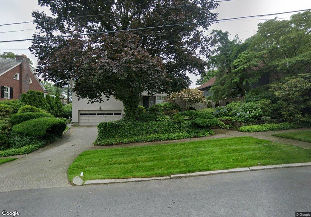
57 Hazard Ave Providence, RI 02906
Blackstone NeighborhoodEstimated Value: $1,525,496 - $1,792,000
4
Beds
4
Baths
2,733
Sq Ft
$607/Sq Ft
Est. Value
About This Home
This home is located at 57 Hazard Ave, Providence, RI 02906 and is currently estimated at $1,658,499, approximately $606 per square foot. 57 Hazard Ave is a home located in Providence County with nearby schools including Montessori Childrens House, Moses Brown School, and Jewish Community Day School Of Rhode Island.
Ownership History
Date
Name
Owned For
Owner Type
Purchase Details
Closed on
Dec 9, 2019
Sold by
Horwitz Eileen S
Bought by
Eileen S Horwitz T
Current Estimated Value
Create a Home Valuation Report for This Property
The Home Valuation Report is an in-depth analysis detailing your home's value as well as a comparison with similar homes in the area
Home Values in the Area
Average Home Value in this Area
Purchase History
| Date | Buyer | Sale Price | Title Company |
|---|---|---|---|
| Eileen S Horwitz T | -- | None Available |
Source: Public Records
Tax History
| Year | Tax Paid | Tax Assessment Tax Assessment Total Assessment is a certain percentage of the fair market value that is determined by local assessors to be the total taxable value of land and additions on the property. | Land | Improvement |
|---|---|---|---|---|
| 2025 | $12,842 | $1,528,800 | $834,400 | $694,400 |
| 2024 | $19,653 | $1,071,000 | $415,100 | $655,900 |
| 2023 | $19,653 | $1,071,000 | $415,100 | $655,900 |
| 2022 | $19,064 | $1,071,000 | $415,100 | $655,900 |
| 2021 | $18,823 | $766,400 | $319,600 | $446,800 |
| 2020 | $18,823 | $766,400 | $319,600 | $446,800 |
| 2019 | $18,823 | $766,400 | $319,600 | $446,800 |
| 2018 | $19,927 | $623,500 | $274,500 | $349,000 |
| 2017 | $19,927 | $623,500 | $274,500 | $349,000 |
| 2016 | $19,927 | $623,500 | $274,500 | $349,000 |
| 2015 | $21,171 | $639,600 | $290,600 | $349,000 |
| 2014 | $21,587 | $639,600 | $290,600 | $349,000 |
| 2013 | $21,587 | $639,600 | $290,600 | $349,000 |
Source: Public Records
Map
Nearby Homes
- 41 Stadium Rd
- 236 Pleasant St
- 218 Howell St Unit 2
- 22 Miles Ave Unit 8
- 12 University Ave
- 125 Taber Ave
- 94 Larch St
- 185 Lippitt St
- 189 Laurel Ave Unit 189
- 76 Locust St
- 56 Ivy St
- 181 Cole Ave Unit 2
- 203 Cole Ave
- 90 University Ave
- 219 Cole Ave
- 71 Savoy St
- 15 Firglade Ave
- 19 Carrington Ave Unit 2
- 369 Thayer St
- 135 Cypress St
Your Personal Tour Guide
Ask me questions while you tour the home.