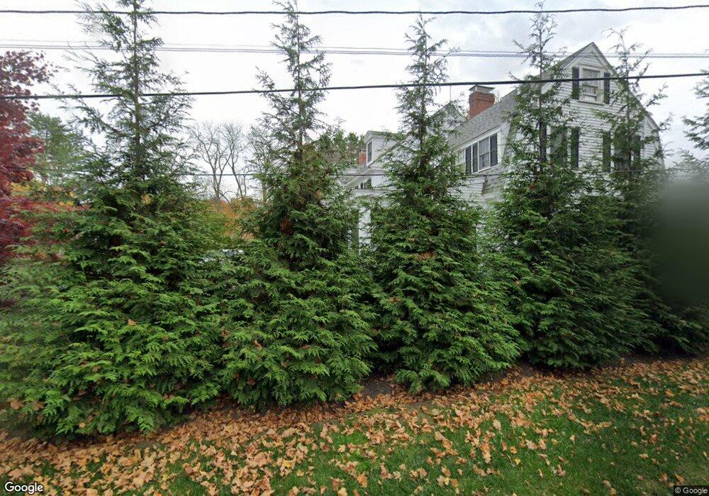
57 High Rd Newbury, MA 01951
Estimated Value: $1,883,389 - $2,177,000
3
Beds
4
Baths
3,933
Sq Ft
$520/Sq Ft
Est. Value
About This Home
This home is located at 57 High Rd, Newbury, MA 01951 and is currently estimated at $2,046,847, approximately $520 per square foot. 57 High Rd is a home located in Essex County with nearby schools including Triton Regional High School, River Valley Charter School, and Immaculate Conception School.
Ownership History
Date
Name
Owned For
Owner Type
Purchase Details
Closed on
Mar 29, 2010
Sold by
Koplove Lynda A and Michael Koplove H
Bought by
Marshall Kelly and Celano Gerald L
Current Estimated Value
Purchase Details
Closed on
Feb 22, 2005
Sold by
Edbrooke Jennifer L
Bought by
Koplove Lynda A and Michael Koplove H
Purchase Details
Closed on
Jun 22, 2001
Sold by
57 High Rd Nt and Roy Michael T
Bought by
Edbrooke Jennifer L
Create a Home Valuation Report for This Property
The Home Valuation Report is an in-depth analysis detailing your home's value as well as a comparison with similar homes in the area
Home Values in the Area
Average Home Value in this Area
Purchase History
| Date | Buyer | Sale Price | Title Company |
|---|---|---|---|
| Marshall Kelly | $950,000 | -- | |
| Marshall Kelly | $950,000 | -- | |
| Koplove Lynda A | $947,000 | -- | |
| Koplove Lynda A | $947,000 | -- | |
| Edbrooke Jennifer L | $850,000 | -- | |
| Edbrooke Jennifer L | $850,000 | -- |
Source: Public Records
Mortgage History
| Date | Status | Borrower | Loan Amount |
|---|---|---|---|
| Open | Edbrooke Jennifer L | $465,000 | |
| Closed | Edbrooke Jennifer L | $502,500 |
Source: Public Records
Tax History Compared to Growth
Tax History
| Year | Tax Paid | Tax Assessment Tax Assessment Total Assessment is a certain percentage of the fair market value that is determined by local assessors to be the total taxable value of land and additions on the property. | Land | Improvement |
|---|---|---|---|---|
| 2025 | $14,053 | $1,886,300 | $466,000 | $1,420,300 |
| 2024 | $13,640 | $1,776,000 | $421,200 | $1,354,800 |
| 2023 | $14,029 | $1,618,100 | $377,700 | $1,240,400 |
| 2022 | $13,836 | $1,422,000 | $334,100 | $1,087,900 |
| 2021 | $13,637 | $1,279,300 | $290,500 | $988,800 |
| 2020 | $13,545 | $1,232,500 | $281,800 | $950,700 |
| 2019 | $13,323 | $1,232,500 | $281,800 | $950,700 |
| 2018 | $12,769 | $1,171,500 | $281,800 | $889,700 |
| 2017 | $11,968 | $1,128,000 | $268,800 | $859,200 |
| 2016 | $11,304 | $991,600 | $236,100 | $755,500 |
| 2015 | $11,223 | $974,200 | $218,700 | $755,500 |
| 2014 | $11,028 | $974,200 | $218,700 | $755,500 |
Source: Public Records
Map
Nearby Homes
- 1 Littles Ln
- 4 Hanover St
- 100 High Rd
- 1 Lancaster Rd
- 105 High Rd Unit Lot 2
- 26 Beacon Ave
- 33 Union St
- 4 Goodwin Ave
- 17 Madison St
- 144 High Rd
- 113 Prospect St Unit B
- 164 Water St Unit A
- 57 Lime St Unit 1
- 166 Water St Unit B
- 58 Lime St Unit 5
- 10 Beck St
- 11 Orange St Unit 2
- 42 Federal St Unit B
- 7 Pine Island Rd
- 95 High St Unit 4