57 Highland Ave Unit sf Sudbury, MA 01776
Estimated Value: $1,457,000 - $1,879,000
4
Beds
4
Baths
4,300
Sq Ft
$384/Sq Ft
Est. Value
About This Home
This home is located at 57 Highland Ave Unit sf, Sudbury, MA 01776 and is currently estimated at $1,649,885, approximately $383 per square foot. 57 Highland Ave Unit sf is a home located in Middlesex County with nearby schools including Israel Loring Elementary School, Ephraim Curtis Middle School, and Lincoln-Sudbury Regional High School.
Ownership History
Date
Name
Owned For
Owner Type
Purchase Details
Closed on
Oct 31, 2003
Sold by
Michael D Harrington D
Bought by
Borghani Saeid
Current Estimated Value
Home Financials for this Owner
Home Financials are based on the most recent Mortgage that was taken out on this home.
Original Mortgage
$580,000
Outstanding Balance
$269,823
Interest Rate
6.05%
Mortgage Type
Purchase Money Mortgage
Estimated Equity
$1,380,062
Create a Home Valuation Report for This Property
The Home Valuation Report is an in-depth analysis detailing your home's value as well as a comparison with similar homes in the area
Home Values in the Area
Average Home Value in this Area
Purchase History
| Date | Buyer | Sale Price | Title Company |
|---|---|---|---|
| Borghani Saeid | $725,000 | -- |
Source: Public Records
Mortgage History
| Date | Status | Borrower | Loan Amount |
|---|---|---|---|
| Open | Borghani Saeid | $580,000 |
Source: Public Records
Tax History Compared to Growth
Tax History
| Year | Tax Paid | Tax Assessment Tax Assessment Total Assessment is a certain percentage of the fair market value that is determined by local assessors to be the total taxable value of land and additions on the property. | Land | Improvement |
|---|---|---|---|---|
| 2025 | $23,295 | $1,591,200 | $361,300 | $1,229,900 |
| 2024 | $22,381 | $1,531,900 | $350,700 | $1,181,200 |
| 2023 | $20,575 | $1,304,700 | $318,800 | $985,900 |
| 2022 | $19,812 | $1,097,600 | $292,600 | $805,000 |
| 2021 | $18,566 | $986,000 | $292,600 | $693,400 |
| 2020 | $18,192 | $986,000 | $292,600 | $693,400 |
| 2019 | $17,659 | $986,000 | $292,600 | $693,400 |
| 2018 | $17,010 | $948,700 | $296,000 | $652,700 |
| 2017 | $16,534 | $932,000 | $285,800 | $646,200 |
| 2016 | $16,050 | $901,700 | $274,900 | $626,800 |
| 2015 | $16,227 | $922,000 | $308,200 | $613,800 |
| 2014 | $16,196 | $898,300 | $297,400 | $600,900 |
Source: Public Records
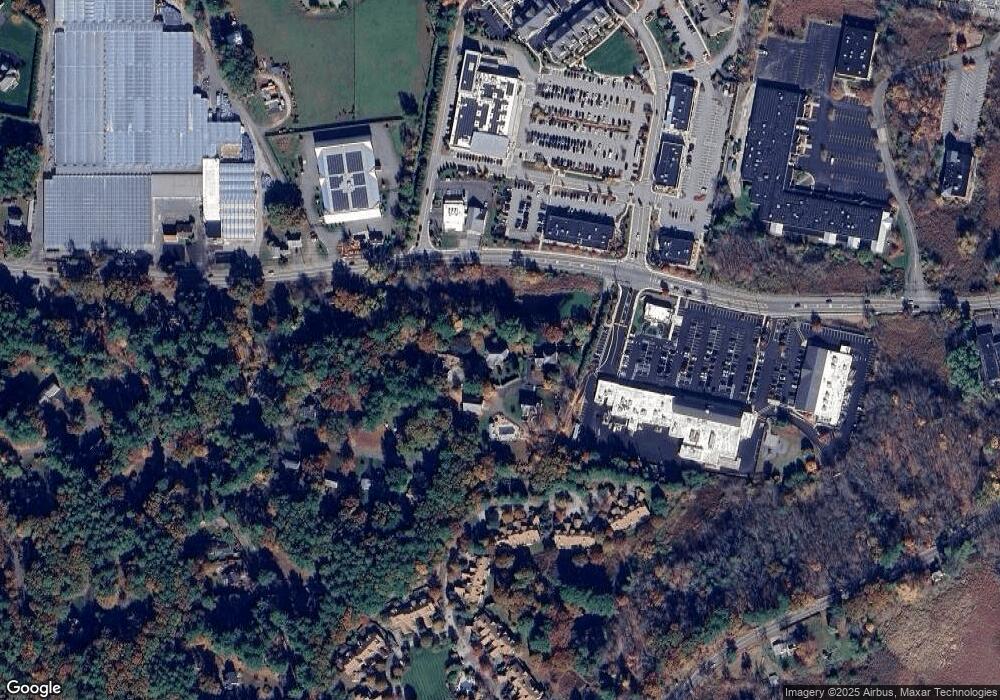
Map
Nearby Homes
- 24 Woodland Rd
- 7 Adams Rd
- 1011 Boston Post Rd
- 0 Robbins Rd
- 89 Bridle Path
- 12 Hickory Rd
- 30 Rolling Ln
- 36 Concord Rd
- 0 Boston Post Rd
- 32 Eaton Rd W
- 23 Massasoit Ave
- 91 Eaton Rd W
- 19 Nob Hill Dr
- 270 Old Lancaster Rd
- 143 Peakham Rd
- 7 Saddle Ridge Rd
- 14 Eisenhower Rd
- 84 Hopestill Brown Rd
- 216 Landham Rd
- 50 Juniper Ln
- 57 Highland Ave
- 57 Highland Ave Unit 57
- 57 Highland Ave Unit 1
- 58 Highland Ave
- 55 Highland Ave
- 59 Highland Ave
- 53 Highland Ave
- 28 Woodland Rd
- 555 Boston Post Rd
- 559 Boston Post Rd
- 27 Woodland Rd
- 181 Nobscot Rd
- 179 Nobscot Rd
- 177 Nobscot Rd
- 31 Woodland Rd
- 18 Woodland Rd
- 187 Nobscot Rd
- 185 Nobscot Rd
- 183 Nobscot Rd
- 193 Nobscot Rd