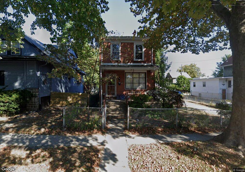
57 Hirst Ave Lansdowne, PA 19050
Estimated Value: $236,000 - $274,000
3
Beds
1
Bath
1,404
Sq Ft
$180/Sq Ft
Est. Value
About This Home
This home is located at 57 Hirst Ave, Lansdowne, PA 19050 and is currently estimated at $252,326, approximately $179 per square foot. 57 Hirst Ave is a home located in Delaware County with nearby schools including East Lansdowne Elementary School, Penn Wood Middle School, and Penn Wood High School - Cypress Street Campus.
Ownership History
Date
Name
Owned For
Owner Type
Purchase Details
Closed on
Aug 21, 1997
Sold by
Cianciaruso Benito and Cianciaruso Anna
Bought by
Roberson Brian A and Ortiz Francisca M
Current Estimated Value
Home Financials for this Owner
Home Financials are based on the most recent Mortgage that was taken out on this home.
Original Mortgage
$84,900
Outstanding Balance
$12,580
Interest Rate
7.41%
Mortgage Type
FHA
Estimated Equity
$239,746
Create a Home Valuation Report for This Property
The Home Valuation Report is an in-depth analysis detailing your home's value as well as a comparison with similar homes in the area
Home Values in the Area
Average Home Value in this Area
Purchase History
| Date | Buyer | Sale Price | Title Company |
|---|---|---|---|
| Roberson Brian A | $85,000 | -- |
Source: Public Records
Mortgage History
| Date | Status | Borrower | Loan Amount |
|---|---|---|---|
| Open | Roberson Brian A | $84,900 |
Source: Public Records
Tax History Compared to Growth
Tax History
| Year | Tax Paid | Tax Assessment Tax Assessment Total Assessment is a certain percentage of the fair market value that is determined by local assessors to be the total taxable value of land and additions on the property. | Land | Improvement |
|---|---|---|---|---|
| 2025 | $4,901 | $114,710 | $48,140 | $66,570 |
| 2024 | $4,901 | $114,710 | $48,140 | $66,570 |
| 2023 | $3,665 | $114,710 | $48,140 | $66,570 |
| 2022 | $4,421 | $114,710 | $48,140 | $66,570 |
| 2021 | $6,591 | $114,710 | $48,140 | $66,570 |
| 2020 | $4,859 | $73,780 | $20,820 | $52,960 |
| 2019 | $4,778 | $73,780 | $20,820 | $52,960 |
| 2018 | $4,715 | $73,780 | $0 | $0 |
| 2017 | $4,474 | $73,780 | $0 | $0 |
| 2016 | $405 | $73,780 | $0 | $0 |
| 2015 | $413 | $73,780 | $0 | $0 |
| 2014 | $413 | $73,780 | $0 | $0 |
Source: Public Records
Map
Nearby Homes
- 608 Pembroke Ave
- 230 Wynnewood Ave
- 226 E Greenwood Ave
- 209 E Greenwood Ave
- 319 E Essex Ave
- 317 E Essex Ave
- 315 E Essex Ave
- 75 E Stewart Ave
- 603 Penn St
- 178 N Union Ave
- 32 N Wycombe Ave
- 37 E Stratford Ave
- 407 Church Ln
- 7026 Atlantic Ave
- 7129 Seaford Rd
- 7123 Seaford Rd
- 435 Bonsall Ave
- 164 Woodland Ave
- 192 Fairview Ave
- 726 Copley Rd
- 61 Hirst Ave
- 53 Hirst Ave
- 51 Hirst Ave
- 49 Hirst Ave
- 60 Melrose Ave
- 58 Melrose Ave Unit 4
- 58 Melrose Ave Unit 2ND FL
- 58 Melrose Ave
- 58 Melrose Ave Unit 4 (3RD FL)
- 58 Melrose Ave Unit 2 (1ST FL FRONT)
- 47 Hirst Ave
- 404 Pembroke Ave
- 400 Pembroke Ave
- 408 Pembroke Ave
- 52 Melrose Ave
- 45 Hirst Ave
- 60 Hirst Ave
- 412 Pembroke Ave
- 62 Hirst Ave
- 43 Hirst Ave