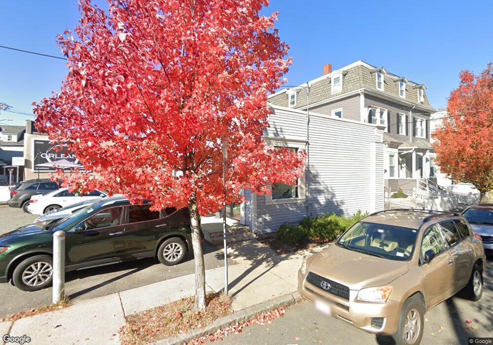
57 Holland St Somerville, MA 02144
Davis Square NeighborhoodEstimated Value: $1,628,398
--
Bed
--
Bath
1,100
Sq Ft
$1,480/Sq Ft
Est. Value
About This Home
This home is located at 57 Holland St, Somerville, MA 02144 and is currently estimated at $1,628,398, approximately $1,480 per square foot. 57 Holland St is a home located in Middlesex County with nearby schools including Somerville High School, St. Clement Elementary School, and International School of Boston.
Ownership History
Date
Name
Owned For
Owner Type
Purchase Details
Closed on
Mar 5, 2003
Sold by
El Camino T and Tr Christopher J G
Bought by
Dev T and Tr Patrick J Osull
Current Estimated Value
Home Financials for this Owner
Home Financials are based on the most recent Mortgage that was taken out on this home.
Original Mortgage
$525,000
Outstanding Balance
$226,850
Interest Rate
5.95%
Mortgage Type
Commercial
Estimated Equity
$1,401,548
Purchase Details
Closed on
Sep 26, 1989
Sold by
Holland St Rt
Bought by
53-57 Holland St Rt
Create a Home Valuation Report for This Property
The Home Valuation Report is an in-depth analysis detailing your home's value as well as a comparison with similar homes in the area
Home Values in the Area
Average Home Value in this Area
Purchase History
| Date | Buyer | Sale Price | Title Company |
|---|---|---|---|
| Dev T | $700,000 | -- | |
| 53-57 Holland St Rt | $250,000 | -- |
Source: Public Records
Mortgage History
| Date | Status | Borrower | Loan Amount |
|---|---|---|---|
| Open | Dev T | $525,000 | |
| Closed | 53-57 Holland St Rt | $0 |
Source: Public Records
Tax History Compared to Growth
Tax History
| Year | Tax Paid | Tax Assessment Tax Assessment Total Assessment is a certain percentage of the fair market value that is determined by local assessors to be the total taxable value of land and additions on the property. | Land | Improvement |
|---|---|---|---|---|
| 2025 | $23,249 | $1,228,800 | $1,025,500 | $203,300 |
| 2024 | $22,364 | $1,228,800 | $1,025,500 | $203,300 |
| 2023 | $21,320 | $1,228,800 | $1,025,500 | $203,300 |
| 2022 | $20,705 | $1,228,800 | $1,025,500 | $203,300 |
| 2021 | $20,509 | $1,228,800 | $1,025,500 | $203,300 |
| 2020 | $20,054 | $1,228,800 | $1,025,500 | $203,300 |
| 2019 | $19,976 | $1,152,700 | $976,700 | $176,000 |
| 2018 | $20,852 | $1,145,100 | $976,700 | $168,400 |
| 2017 | $20,211 | $1,074,500 | $921,300 | $153,200 |
| 2016 | $18,786 | $930,900 | $783,200 | $147,700 |
| 2015 | $17,578 | $862,500 | $745,900 | $116,600 |
Source: Public Records
Map
Nearby Homes
- 50 Howard St Unit 5
- 34 Day St
- 17 Shea Rd
- 67-69 Cameron Ave
- 32 Cameron Ave
- 20 Electric Ave Unit 2
- 39 Seven Pines Ave
- 22 Ossipee Rd Unit 2
- 371 Highland Ave
- 24 Washburn Ave Unit 1
- 30 Dudley St
- 23 Ossipee Rd
- 18 Windom St
- 353 Summer St Unit 310
- 2456 Massachusetts Ave Unit 402
- 55 Packard Ave Unit 1
- 69 Clarendon Ave Unit A
- 12 Rindge Ave Unit 1
- 97 Elmwood St Unit 313
- 97 Elmwood St Unit 310
- 10 Wallace St
- 65 Holland St
- 49 Holland St
- 24 Park Ave
- 24 Park Ave Unit 1B
- 24 Park Ave Unit 3
- 24 Park Ave
- 24 Park Ave Unit 30
- 3 Wallace St
- 16 Wallace St
- 51 Holland St
- 69 Holland St Unit D
- 69 Holland St Unit 69C
- 69 Holland St Unit 69B
- 69 Holland St Unit 69A
- 69 Holland St Unit C/3
- 69 Holland St Unit A
- 69 Holland St
- 22 Park Ave
- 67 Holland St Unit D-E