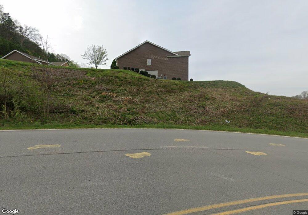
57 Kenai Trail Unit 1402 Waynesville, NC 28786
Estimated Value: $440,000 - $567,000
2
Beds
2
Baths
1,540
Sq Ft
$312/Sq Ft
Est. Value
About This Home
This home is located at 57 Kenai Trail Unit 1402, Waynesville, NC 28786 and is currently estimated at $479,896, approximately $311 per square foot. 57 Kenai Trail Unit 1402 is a home located in Haywood County with nearby schools including Junaluska Elementary, Waynesville Middle, and Tuscola High.
Ownership History
Date
Name
Owned For
Owner Type
Purchase Details
Closed on
Aug 26, 2010
Sold by
Blue Ridge Savings Bank Inc
Bought by
Speer Charles M and Speer Cheryl C
Current Estimated Value
Home Financials for this Owner
Home Financials are based on the most recent Mortgage that was taken out on this home.
Original Mortgage
$140,000
Interest Rate
4.6%
Mortgage Type
New Conventional
Purchase Details
Closed on
Sep 10, 2008
Sold by
Kasey Phillips Development Llc
Bought by
Blue Ridge Savings Bank
Create a Home Valuation Report for This Property
The Home Valuation Report is an in-depth analysis detailing your home's value as well as a comparison with similar homes in the area
Home Values in the Area
Average Home Value in this Area
Purchase History
| Date | Buyer | Sale Price | Title Company |
|---|---|---|---|
| Speer Charles M | $190,000 | None Available | |
| Blue Ridge Savings Bank | $619,000 | None Available |
Source: Public Records
Mortgage History
| Date | Status | Borrower | Loan Amount |
|---|---|---|---|
| Closed | Speer Charles M | $140,000 |
Source: Public Records
Tax History Compared to Growth
Tax History
| Year | Tax Paid | Tax Assessment Tax Assessment Total Assessment is a certain percentage of the fair market value that is determined by local assessors to be the total taxable value of land and additions on the property. | Land | Improvement |
|---|---|---|---|---|
| 2025 | -- | $300,600 | $25,000 | $275,600 |
| 2024 | $897 | $300,600 | $25,000 | $275,600 |
| 2023 | $845 | $300,600 | $25,000 | $275,600 |
| 2022 | $2,173 | $300,600 | $25,000 | $275,600 |
| 2021 | $2,173 | $300,600 | $25,000 | $275,600 |
| 2020 | $1,942 | $247,700 | $25,000 | $222,700 |
| 2019 | $1,947 | $247,700 | $25,000 | $222,700 |
| 2018 | $1,947 | $247,700 | $25,000 | $222,700 |
| 2017 | $1,947 | $247,700 | $0 | $0 |
| 2016 | $1,538 | $196,000 | $0 | $0 |
| 2015 | $1,538 | $196,000 | $0 | $0 |
| 2014 | $1,408 | $196,000 | $0 | $0 |
Source: Public Records
Map
Nearby Homes
- 31 Denali Ln
- 00 Liner Cove Rd Unit 2
- 00 Liner Cove Rd Unit 1
- 00 Aster Ridge Dr Unit 10
- 541 Paragon Pkwy
- 21 Gunter Dr
- 0000 Belmont Dr
- 00 Belmont Dr
- TBD Belmont Dr
- 99999 Belmont Dr
- 00 Leroy George Dr
- 1465 S Lakeshore Dr Unit D1
- 1465 S Lakeshore Dr Unit B2
- 181 Junaluska Oaks Dr
- 40 Panda Trail
- 29 Tillman Rd
- 38 Eden Ln
- 00 Bark Trail
- 0 Old Clyde Rd
- 35 Lee Rd
- 67 Kenai Trail
- 55 Kenai Trail Unit 1403
- 49 Kenai Trail
- 56 Kenai Trail
- 66 Kenai Trail
- 54 Kenai Trail Unit 1202
- 39 Denali Ln
- 55 Denali Ln
- 35 Denali Ln Unit 502
- 23 Kenai Trail
- 42 Kenai Trail
- 42 Kenai Trail Unit 1101
- 27 Denali Ln
- 9 Kenai Trail
- 34 Kenai Trail
- 48 Denali Ln Unit 204 PHASE 2
- 48 Denali Ln Unit 204
- 87 Kenai Trail Unit 1302
- 85 Kenai Trail
- 40 Denali Ln