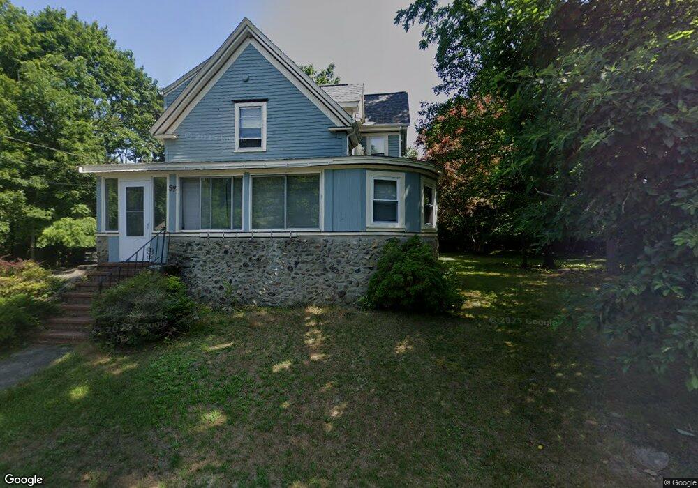
57 Lambert Ave Unit 1 Stoughton, MA 02072
Estimated Value: $650,243 - $787,000
2
Beds
1
Bath
1,326
Sq Ft
$544/Sq Ft
Est. Value
About This Home
This home is located at 57 Lambert Ave Unit 1, Stoughton, MA 02072 and is currently estimated at $720,811, approximately $543 per square foot. 57 Lambert Ave Unit 1 is a home located in Norfolk County with nearby schools including Wilkins Elementary School, Dr. Robert G. O'Donnell Middle School, and Stoughton High School.
Ownership History
Date
Name
Owned For
Owner Type
Purchase Details
Closed on
Aug 27, 2010
Sold by
Grant Henry A and Grant Catherine V
Bought by
Limbey James P
Current Estimated Value
Home Financials for this Owner
Home Financials are based on the most recent Mortgage that was taken out on this home.
Original Mortgage
$256,350
Outstanding Balance
$169,066
Interest Rate
4.57%
Mortgage Type
Purchase Money Mortgage
Estimated Equity
$551,745
Purchase Details
Closed on
Nov 16, 2007
Sold by
Grant Catherine V and Grant Henry A
Bought by
Grant Catherine V and Grant Henry A
Create a Home Valuation Report for This Property
The Home Valuation Report is an in-depth analysis detailing your home's value as well as a comparison with similar homes in the area
Home Values in the Area
Average Home Value in this Area
Purchase History
| Date | Buyer | Sale Price | Title Company |
|---|---|---|---|
| Limbey James P | $225,000 | -- | |
| Limbey James P | $225,000 | -- | |
| Grant Catherine V | -- | -- | |
| Grant Catherine V | -- | -- |
Source: Public Records
Mortgage History
| Date | Status | Borrower | Loan Amount |
|---|---|---|---|
| Open | Limbey James P | $256,350 | |
| Closed | Grant Catherine V | $256,350 | |
| Previous Owner | Grant Catherine V | $143,500 |
Source: Public Records
Tax History Compared to Growth
Tax History
| Year | Tax Paid | Tax Assessment Tax Assessment Total Assessment is a certain percentage of the fair market value that is determined by local assessors to be the total taxable value of land and additions on the property. | Land | Improvement |
|---|---|---|---|---|
| 2025 | $6,621 | $534,800 | $209,700 | $325,100 |
| 2024 | $6,571 | $516,200 | $191,100 | $325,100 |
| 2023 | $6,524 | $481,500 | $177,600 | $303,900 |
| 2022 | $6,237 | $432,800 | $162,300 | $270,500 |
| 2021 | $6,032 | $399,500 | $147,100 | $252,400 |
| 2020 | $5,526 | $371,100 | $142,000 | $229,100 |
| 2019 | $5,522 | $360,000 | $142,000 | $218,000 |
| 2018 | $5,232 | $353,300 | $135,300 | $218,000 |
| 2017 | $4,851 | $334,800 | $128,500 | $206,300 |
| 2016 | $4,292 | $286,700 | $118,400 | $168,300 |
| 2015 | $4,235 | $279,900 | $111,600 | $168,300 |
| 2014 | $4,029 | $256,000 | $101,500 | $154,500 |
Source: Public Records
Map
Nearby Homes
- 57 Lambert Ave
- 62 Lambert Ave
- 52 Lambert Ave
- 45 Lambert Ave
- 70 Lambert Ave
- 40 Lambert Ave
- 75 Lambert Ave
- 107 Rockland St
- 30 Lambert Ave
- 29 Talbot St
- 29 Talbot St Unit 1
- 27 Lambert Ave
- 24 Lambert Ave
- 24 Lambert Ave
- 36 Talbot St
- 36 Pleasant Dr Unit 36
- 36 Pleasant Dr Unit 48
- 36 Pleasant Dr Unit 47
- 36 Pleasant Dr Unit 46
- 36 Pleasant Dr Unit 45