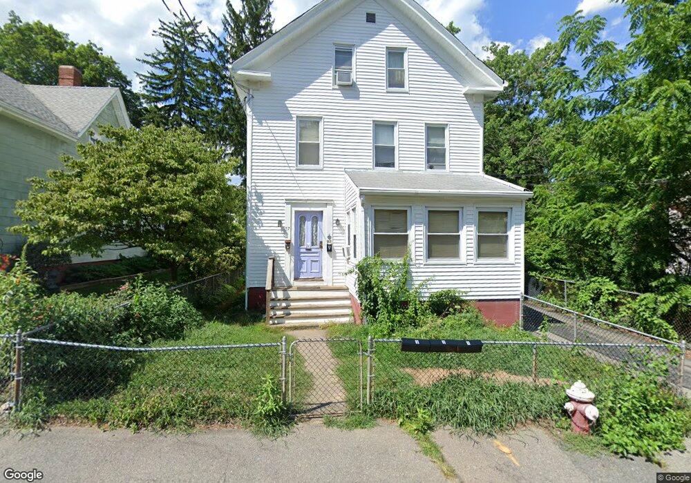
57 Leonard St North Attleboro, MA 02760
North Attleboro NeighborhoodEstimated Value: $411,542 - $616,000
5
Beds
3
Baths
1,795
Sq Ft
$301/Sq Ft
Est. Value
About This Home
This home is located at 57 Leonard St, North Attleboro, MA 02760 and is currently estimated at $540,136, approximately $300 per square foot. 57 Leonard St is a home located in Bristol County with nearby schools including North Attleboro High School.
Ownership History
Date
Name
Owned For
Owner Type
Purchase Details
Closed on
Mar 12, 2019
Sold by
Mo Guochun and Yu Cathy C
Bought by
Leonard Street Rt
Current Estimated Value
Purchase Details
Closed on
Jun 3, 2016
Sold by
Vaslet Jeanne A and Poirier Theresa M
Bought by
Mo Guochun and Yu Cathyc
Home Financials for this Owner
Home Financials are based on the most recent Mortgage that was taken out on this home.
Original Mortgage
$157,500
Interest Rate
3.59%
Mortgage Type
New Conventional
Create a Home Valuation Report for This Property
The Home Valuation Report is an in-depth analysis detailing your home's value as well as a comparison with similar homes in the area
Home Values in the Area
Average Home Value in this Area
Purchase History
| Date | Buyer | Sale Price | Title Company |
|---|---|---|---|
| Leonard Street Rt | -- | -- | |
| Mo Guochun | $210,000 | -- |
Source: Public Records
Mortgage History
| Date | Status | Borrower | Loan Amount |
|---|---|---|---|
| Previous Owner | Mo Guochun | $157,500 |
Source: Public Records
Tax History Compared to Growth
Tax History
| Year | Tax Paid | Tax Assessment Tax Assessment Total Assessment is a certain percentage of the fair market value that is determined by local assessors to be the total taxable value of land and additions on the property. | Land | Improvement |
|---|---|---|---|---|
| 2025 | $4,624 | $392,200 | $102,000 | $290,200 |
| 2024 | $4,526 | $392,200 | $102,000 | $290,200 |
| 2023 | $4,763 | $372,400 | $102,000 | $270,400 |
| 2022 | $4,495 | $322,700 | $102,000 | $220,700 |
| 2021 | $4,379 | $306,900 | $102,000 | $204,900 |
| 2020 | $3,605 | $251,200 | $102,000 | $149,200 |
| 2019 | $3,489 | $245,000 | $92,700 | $152,300 |
| 2018 | $3,268 | $245,000 | $92,700 | $152,300 |
| 2017 | $3,300 | $249,600 | $92,700 | $156,900 |
| 2016 | $3,218 | $243,400 | $103,000 | $140,400 |
| 2015 | $3,097 | $235,700 | $108,200 | $127,500 |
| 2014 | $3,061 | $231,200 | $100,000 | $131,200 |
Source: Public Records
Map
Nearby Homes
- 20 South St
- 19 Church St Unit A5
- 85 Richards Ave
- 93 Bank St
- 16 Richards Ave Unit 106
- 68 Fisher St
- 99 Arnold Rd
- 64 Smith St
- 188 Smith St
- 35-R Whiting St
- 12 Roosevelt Ave
- 8 Al Pace Dr Unit 8
- 20 Holbrook Ave
- 151 Roosevelt Ave Unit A
- 880 Landry Ave Unit 2
- 16 Johnson St
- 45 Moran St
- 0 Landry 2nd Unit 73350867
- 16 Elizabeth St
- 42 2nd Ave Unit 24
- 57 Leonard St Unit 2
- 59 Leonard St
- 49 Leonard St
- 69 Leonard St
- 86 Division St
- 45 Leonard St
- 50 Leonard St
- 50 Leonard St Unit 2
- 50 Leonard St Unit 1
- 71 Leonard St
- 60 Leonard St
- 41 Leonard St
- 68 Leonard St
- 68 Leonard St Unit 2
- 92 Division St Unit 94
- 92 Division St Unit 1
- 80 Division St
- 98 Division St Unit first floor
- 104 Division St
- 37 Leonard St