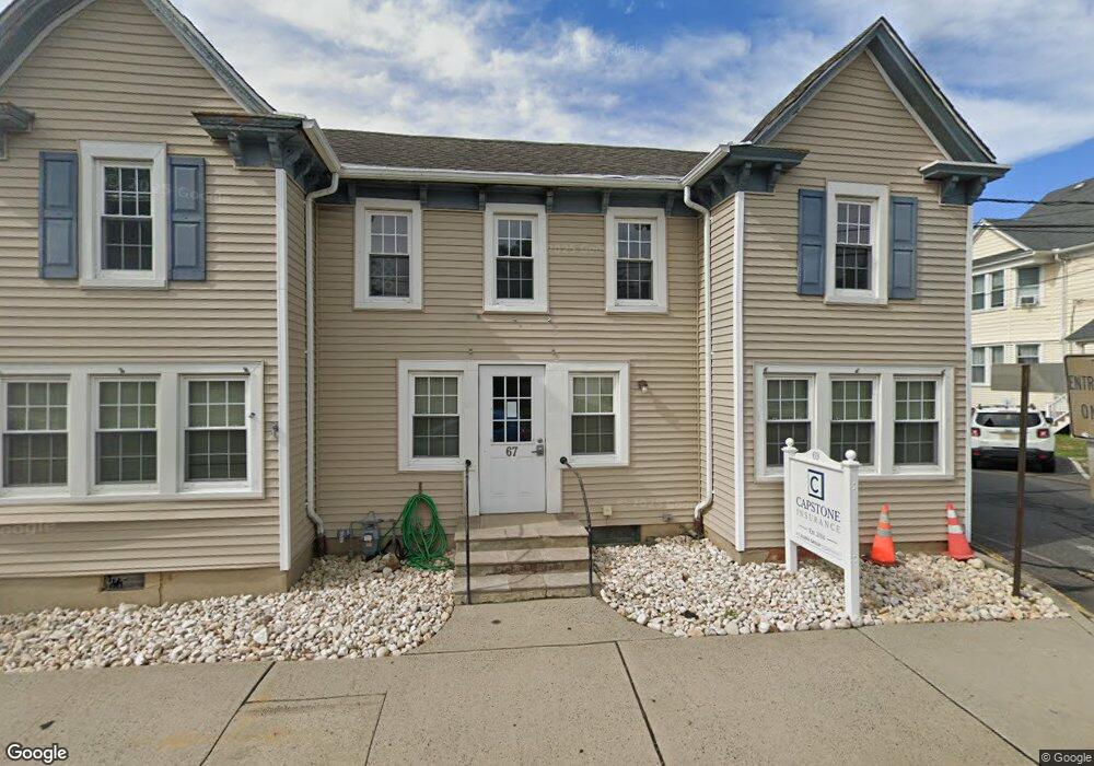
57 Main St Manasquan, NJ 08736
Estimated Value: $1,553,000 - $1,864,000
6
Beds
5
Baths
4,077
Sq Ft
$425/Sq Ft
Est. Value
About This Home
This home is located at 57 Main St, Manasquan, NJ 08736 and is currently estimated at $1,732,169, approximately $424 per square foot. 57 Main St is a home located in Monmouth County with nearby schools including Manasquan Elementary School, Manasquan High School, and The Brookside School.
Ownership History
Date
Name
Owned For
Owner Type
Purchase Details
Closed on
Nov 20, 2007
Sold by
Ross Gregory S and Ross Cheryl
Bought by
Rogers Thomas and Rogers Jacqueline
Current Estimated Value
Purchase Details
Closed on
Jul 19, 2004
Sold by
Smith Thomas
Bought by
Ross Gregory
Home Financials for this Owner
Home Financials are based on the most recent Mortgage that was taken out on this home.
Original Mortgage
$999,950
Interest Rate
6.2%
Purchase Details
Closed on
Dec 30, 1997
Sold by
Smith William
Bought by
Smith Thomas and Smith Liz
Home Financials for this Owner
Home Financials are based on the most recent Mortgage that was taken out on this home.
Original Mortgage
$165,000
Interest Rate
7.09%
Create a Home Valuation Report for This Property
The Home Valuation Report is an in-depth analysis detailing your home's value as well as a comparison with similar homes in the area
Home Values in the Area
Average Home Value in this Area
Purchase History
| Date | Buyer | Sale Price | Title Company |
|---|---|---|---|
| Rogers Thomas | $775,000 | None Available | |
| Ross Gregory | $750,000 | -- | |
| Smith Thomas | $85,000 | -- | |
| Smith Thomas | $180,000 | -- |
Source: Public Records
Mortgage History
| Date | Status | Borrower | Loan Amount |
|---|---|---|---|
| Previous Owner | Ross Gregory | $999,950 | |
| Previous Owner | Smith Thomas | $165,000 |
Source: Public Records
Tax History
| Year | Tax Paid | Tax Assessment Tax Assessment Total Assessment is a certain percentage of the fair market value that is determined by local assessors to be the total taxable value of land and additions on the property. | Land | Improvement |
|---|---|---|---|---|
| 2025 | $16,688 | $938,600 | $345,600 | $593,000 |
| 2024 | $16,059 | $938,600 | $345,600 | $593,000 |
| 2023 | $16,059 | $938,600 | $345,600 | $593,000 |
| 2022 | $15,091 | $916,300 | $345,600 | $570,700 |
| 2021 | $15,091 | $916,300 | $345,600 | $570,700 |
| 2020 | $14,881 | $916,300 | $345,600 | $570,700 |
| 2019 | $14,322 | $916,300 | $345,600 | $570,700 |
| 2018 | $14,001 | $916,300 | $345,600 | $570,700 |
| 2017 | $13,470 | $916,300 | $345,600 | $570,700 |
| 2016 | $13,112 | $916,300 | $345,600 | $570,700 |
| 2015 | $12,382 | $724,500 | $216,400 | $508,100 |
| 2014 | $12,367 | $724,500 | $216,400 | $508,100 |
Source: Public Records
Map
Nearby Homes
- 11 Pearce Ave
- 65 Pearce Ave
- 49 Wyckoff Ave
- 130 Union Ave
- 43 Old Squan Rd
- 140 Curtis Place
- 14 Lebanon Dr
- 703 Sea Girt Ave
- 722 Boston Blvd
- 1215 Church St
- 308 South St
- 340 E Main St
- 133 Fletcher Ave
- 323-325 Fisk Ave
- 504 Old Bridge Rd
- 507 Crescent Pkwy
- 329 Fisk Ave
- 708 New York Blvd
- 1304 W Magnolia Ave
- 404 Perrine Blvd
Your Personal Tour Guide
Ask me questions while you tour the home.