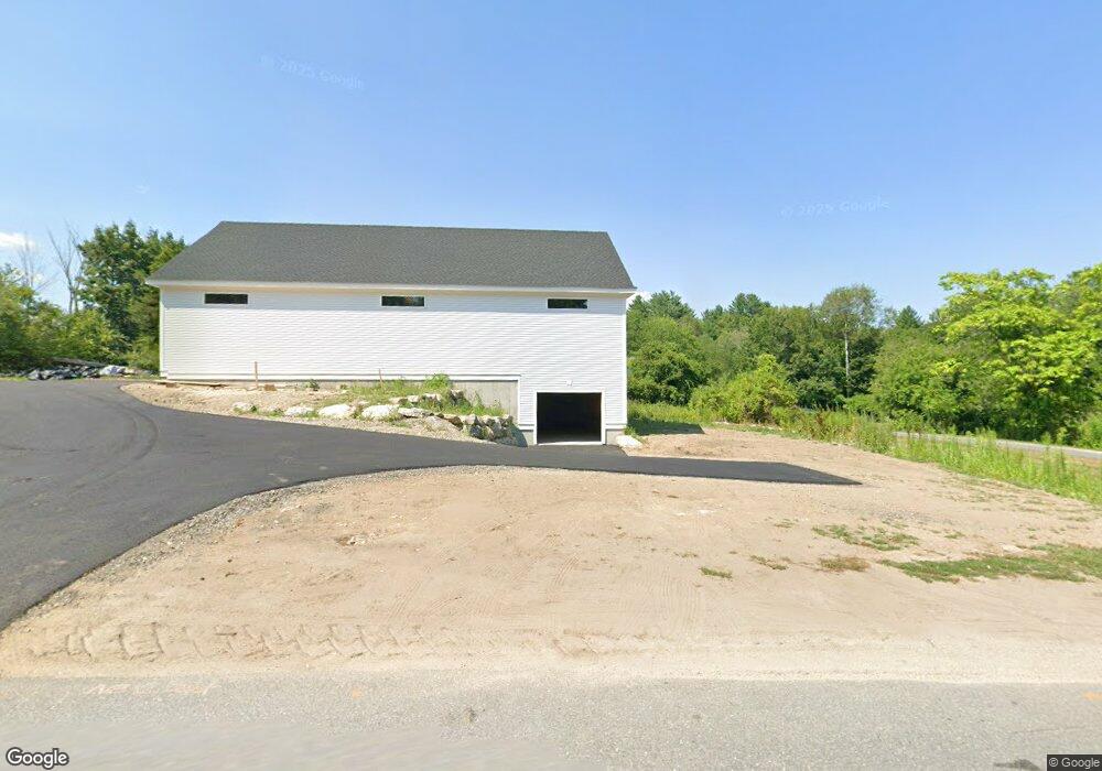
57 Maple St Carlisle, MA 01741
Estimated Value: $995,000 - $1,116,000
4
Beds
3
Baths
2,462
Sq Ft
$426/Sq Ft
Est. Value
About This Home
This home is located at 57 Maple St, Carlisle, MA 01741 and is currently estimated at $1,047,901, approximately $425 per square foot. 57 Maple St is a home located in Middlesex County with nearby schools including Carlisle School, Concord Carlisle High School, and The Fenn School.
Ownership History
Date
Name
Owned For
Owner Type
Purchase Details
Closed on
Jun 14, 2013
Sold by
Morrison David K and Morrison Beverly J
Bought by
Oconnor Paul K and Oconnor Caitlin M
Current Estimated Value
Home Financials for this Owner
Home Financials are based on the most recent Mortgage that was taken out on this home.
Original Mortgage
$740,000
Outstanding Balance
$514,747
Interest Rate
3%
Mortgage Type
Adjustable Rate Mortgage/ARM
Estimated Equity
$533,154
Purchase Details
Closed on
Jul 9, 2010
Sold by
Morrison David K and Morrison Beverly J
Bought by
Morrison David K and Morrison Beverly J
Home Financials for this Owner
Home Financials are based on the most recent Mortgage that was taken out on this home.
Original Mortgage
$417,000
Interest Rate
4.82%
Create a Home Valuation Report for This Property
The Home Valuation Report is an in-depth analysis detailing your home's value as well as a comparison with similar homes in the area
Home Values in the Area
Average Home Value in this Area
Purchase History
| Date | Buyer | Sale Price | Title Company |
|---|---|---|---|
| Oconnor Paul K | $350,000 | -- | |
| Morrison David K | -- | -- | |
| Morrison David K | -- | -- |
Source: Public Records
Mortgage History
| Date | Status | Borrower | Loan Amount |
|---|---|---|---|
| Open | Oconnor Paul K | $740,000 | |
| Closed | Morrison David K | $740,000 | |
| Previous Owner | Morrison David K | $410,800 | |
| Previous Owner | Morrison David K | $417,000 |
Source: Public Records
Tax History Compared to Growth
Tax History
| Year | Tax Paid | Tax Assessment Tax Assessment Total Assessment is a certain percentage of the fair market value that is determined by local assessors to be the total taxable value of land and additions on the property. | Land | Improvement |
|---|---|---|---|---|
| 2025 | $12,992 | $985,700 | $546,300 | $439,400 |
| 2024 | $12,566 | $942,700 | $502,700 | $440,000 |
| 2023 | $12,236 | $864,700 | $502,100 | $362,600 |
| 2022 | $12,040 | $729,700 | $414,500 | $315,200 |
| 2021 | $11,880 | $729,700 | $414,500 | $315,200 |
| 2020 | $11,616 | $632,700 | $327,400 | $305,300 |
| 2019 | $11,300 | $617,800 | $327,400 | $290,400 |
| 2018 | $11,225 | $617,800 | $327,400 | $290,400 |
| 2017 | $10,796 | $612,700 | $327,400 | $285,300 |
| 2016 | $10,538 | $612,700 | $327,400 | $285,300 |
| 2015 | $10,011 | $526,900 | $314,300 | $212,600 |
| 2014 | $9,821 | $526,900 | $314,300 | $212,600 |
Source: Public Records
Map
Nearby Homes
- 125 Maple St
- 11 Kay's Walk
- 282 Brook St
- 383 E Riding Dr
- 6 Edgehill Rd
- 5 Chestnut Ln Unit 120
- 63 Outlook Rd
- 7 Alder Way Unit 159
- 267 Carlisle Rd
- 43 Outlook Rd
- 210 Monument Farm Rd
- 3 Kay's Walk
- 15 Kay's Walk
- 1 Kay's Walk Unit 1
- 1 Kay's Walk
- 13 Kay's Walk
- 15 Kay's Walk Unit 4
- 3 Kay's Walk Unit 3
- 8 Kay's Walk Unit 13
- 14 Kay's Walk