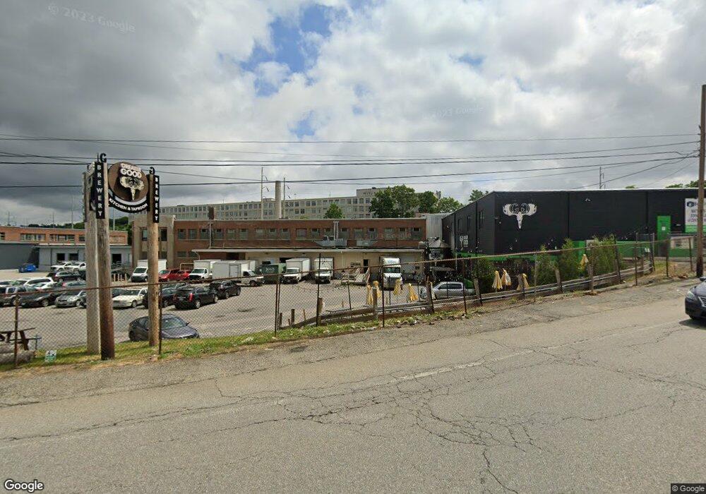
57 Millbrook St Worcester, MA 01606
Indian Lake East NeighborhoodEstimated Value: $3,726,584
Studio
--
Bath
87,994
Sq Ft
$42/Sq Ft
Est. Value
About This Home
This home is located at 57 Millbrook St, Worcester, MA 01606 and is currently priced at $3,726,584, approximately $42 per square foot. 57 Millbrook St is a home located in Worcester County with nearby schools including Francis J. McGrath Elementary School, Jacob Hiatt Magnet School, and Chandler Magnet.
Ownership History
Date
Name
Owned For
Owner Type
Purchase Details
Closed on
Nov 23, 2005
Sold by
Dk Rt and Keller Donald S
Bought by
Millbrook Prop Mgmt Ll
Current Estimated Value
Home Financials for this Owner
Home Financials are based on the most recent Mortgage that was taken out on this home.
Original Mortgage
$1,407,250
Outstanding Balance
$771,999
Interest Rate
6.06%
Mortgage Type
Commercial
Create a Home Valuation Report for This Property
The Home Valuation Report is an in-depth analysis detailing your home's value as well as a comparison with similar homes in the area
Home Values in the Area
Average Home Value in this Area
Purchase History
| Date | Buyer | Sale Price | Title Company |
|---|---|---|---|
| Millbrook Prop Mgmt Ll | $2,165,000 | -- | |
| Millbrook Prop Mgmt Ll | $2,165,000 | -- |
Source: Public Records
Mortgage History
| Date | Status | Borrower | Loan Amount |
|---|---|---|---|
| Open | Millbrook Prop Mgmt Ll | $1,407,250 | |
| Closed | Millbrook Prop Mgmt Ll | $1,407,250 |
Source: Public Records
Tax History
| Year | Tax Paid | Tax Assessment Tax Assessment Total Assessment is a certain percentage of the fair market value that is determined by local assessors to be the total taxable value of land and additions on the property. | Land | Improvement |
|---|---|---|---|---|
| 2025 | $164,530 | $5,750,800 | $546,300 | $5,204,500 |
| 2024 | $144,396 | $4,806,800 | $546,300 | $4,260,500 |
| 2023 | $123,296 | $3,944,200 | $502,000 | $3,442,200 |
| 2022 | $131,460 | $3,944,200 | $502,000 | $3,442,200 |
| 2021 | $113,002 | $3,121,600 | $442,900 | $2,678,700 |
| 2020 | $109,755 | $3,121,600 | $442,900 | $2,678,700 |
| 2019 | $103,698 | $2,971,300 | $431,100 | $2,540,200 |
| 2018 | $95,475 | $2,805,600 | $431,100 | $2,374,500 |
| 2017 | $89,250 | $2,710,300 | $431,100 | $2,279,200 |
| 2016 | $92,096 | $2,710,300 | $288,300 | $2,422,000 |
| 2015 | $85,998 | $2,710,300 | $288,300 | $2,422,000 |
| 2014 | $83,559 | $2,710,300 | $288,300 | $2,422,000 |
Source: Public Records
Map
Nearby Homes
- 32 Hemans St
- 23 Dryden St
- 63 North St Unit D
- 63 North St Unit C
- 63 North St Unit B
- 63 North St Unit A
- 6 Ashburnham Rd
- 7 Chadwick St
- 6 Milton St
- 27 Harlow St
- 30 Boardman St
- 25 Kenwood Ave
- 249 Lincoln St
- 31 Boardman St
- 46 Hastings Ave
- 44 Boardman St
- 100 Burncoat St
- 176 Lincoln St Unit 4
- 51 Uxbridge St
- 78 Green Hill Pkwy
- 55 Millbrook St
- 58 Byron St
- 65 Milton St
- 12 Prioulx St
- 10 Prioulx St
- 6 Prioulx St
- Lot D Milton St
- 44 Byron St
- 44 Byron St
- 44 Byron St Unit 41
- 44 Byron St Unit 42
- 14 Prioulx St
- 5 Daly St
- 4 Daly St
- 4 Prioulx St
- 23 Hemans St Unit 24
- 23 Hemans St
- 23 Hemans St Unit 22
- 23 Hemans St Unit 21
- 23 Hemans St Unit 20
Your Personal Tour Guide
Ask me questions while you tour the home.