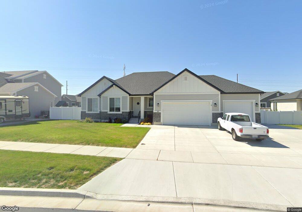
57 N 2860 E Unit 12 Spanish Fork, UT 84660
Estimated Value: $634,000 - $707,000
3
Beds
2
Baths
3,452
Sq Ft
$195/Sq Ft
Est. Value
About This Home
This home is located at 57 N 2860 E Unit 12, Spanish Fork, UT 84660 and is currently estimated at $673,008, approximately $194 per square foot. 57 N 2860 E Unit 12 is a home located in Utah County with nearby schools including Maple Ridge Elementary, Diamond Fork Junior High School, and Mapleton Junior High School.
Ownership History
Date
Name
Owned For
Owner Type
Purchase Details
Closed on
Feb 10, 2020
Sold by
Arive Homes Llc
Bought by
Ashby Keith Donald and Ashby Harriet L
Current Estimated Value
Home Financials for this Owner
Home Financials are based on the most recent Mortgage that was taken out on this home.
Original Mortgage
$294,915
Outstanding Balance
$261,720
Interest Rate
3.72%
Mortgage Type
New Conventional
Estimated Equity
$411,288
Purchase Details
Closed on
Aug 8, 2019
Sold by
Maple Park Estates Llc
Bought by
Arive Homes Llc
Home Financials for this Owner
Home Financials are based on the most recent Mortgage that was taken out on this home.
Original Mortgage
$304,500
Interest Rate
3.7%
Mortgage Type
Construction
Create a Home Valuation Report for This Property
The Home Valuation Report is an in-depth analysis detailing your home's value as well as a comparison with similar homes in the area
Home Values in the Area
Average Home Value in this Area
Purchase History
| Date | Buyer | Sale Price | Title Company |
|---|---|---|---|
| Ashby Keith Donald | -- | Provo Land Title Co | |
| Arive Homes Llc | -- | Provo Land Title Co |
Source: Public Records
Mortgage History
| Date | Status | Borrower | Loan Amount |
|---|---|---|---|
| Open | Ashby Keith Donald | $294,915 | |
| Previous Owner | Arive Homes Llc | $304,500 |
Source: Public Records
Tax History Compared to Growth
Tax History
| Year | Tax Paid | Tax Assessment Tax Assessment Total Assessment is a certain percentage of the fair market value that is determined by local assessors to be the total taxable value of land and additions on the property. | Land | Improvement |
|---|---|---|---|---|
| 2025 | $3,247 | $379,555 | $228,600 | $461,500 |
| 2024 | $3,247 | $334,675 | $0 | $0 |
| 2023 | $3,285 | $338,965 | $0 | $0 |
| 2022 | $3,380 | $342,100 | $0 | $0 |
| 2021 | $2,689 | $435,300 | $154,700 | $280,600 |
| 2020 | $2,664 | $419,300 | $140,600 | $278,700 |
| 2019 | $1,411 | $128,500 | $128,500 | $0 |
| 2018 | $1,297 | $114,200 | $114,200 | $0 |
Source: Public Records
Map
Nearby Homes
- 3056 E 80 S
- 72 S 2560 E
- 358 N 2810 E
- 273 S 2580 E
- Atwood Plan at Eagle Haven
- Sterling Plan at Eagle Haven
- 51 N Spanish Fork Pkwy
- 1766 S 1850 W Unit 8
- Stanton Plan at Mellor
- Stanley Plan at Mellor
- Worthington Plan at Mellor
- Ballard Plan at Mellor
- Lucas Plan at Mellor
- 376 N 2350 E Unit 9
- 326 N 2350 E Unit 12
- 344 N 2350 E Unit 11
- 362 N 2350 E Unit 10
- 1755 S 1850 W
- 7500 U S Highway 89
- 361 N 2350 E Unit 3
- 56 N 2810 E Unit 5
- 37 N 2860 E Unit 11
- 77 N 2860 E Unit 13
- 36 N 2810 E Unit 6
- 76 N 2810 E Unit 4
- 58 N 2860 E Unit 20
- 78 N 2860 E Unit 19
- 78 N 2860 E
- 15 N 2860 E Unit 10
- 95 N 2860 E Unit 14
- 16 N 2810 E Unit 7
- 16 N 2810 E
- 92 N 2810 E Unit 3
- 24 N 2860 E Unit 21
- 2907 E 40 N Unit 36
- 2908 E 100 N Unit 29
- 115 N 2860 E Unit 15
- 2849 E 10 S
- 2906 E 40 N Unit 49
- 2 N 2810 E Unit 8