57 N Bridge St Norwalk, CT 06855
East Norwalk NeighborhoodEstimated Value: $494,000 - $575,789
3
Beds
1
Bath
1,043
Sq Ft
$521/Sq Ft
Est. Value
About This Home
This home is located at 57 N Bridge St, Norwalk, CT 06855 and is currently estimated at $543,197, approximately $520 per square foot. 57 N Bridge St is a home located in Fairfield County with nearby schools including Marvin Elementary School, Nathan Hale Middle School, and Norwalk High School.
Ownership History
Date
Name
Owned For
Owner Type
Purchase Details
Closed on
Feb 19, 1992
Sold by
Gerrish Gordon
Bought by
Hoyt Robert
Current Estimated Value
Create a Home Valuation Report for This Property
The Home Valuation Report is an in-depth analysis detailing your home's value as well as a comparison with similar homes in the area
Home Values in the Area
Average Home Value in this Area
Purchase History
| Date | Buyer | Sale Price | Title Company |
|---|---|---|---|
| Hoyt Robert | $115,000 | -- |
Source: Public Records
Mortgage History
| Date | Status | Borrower | Loan Amount |
|---|---|---|---|
| Open | Hoyt Robert | $259,000 | |
| Closed | Hoyt Robert | $225,000 | |
| Closed | Hoyt Robert | $22,000 | |
| Closed | Hoyt Robert | $145,000 |
Source: Public Records
Tax History Compared to Growth
Tax History
| Year | Tax Paid | Tax Assessment Tax Assessment Total Assessment is a certain percentage of the fair market value that is determined by local assessors to be the total taxable value of land and additions on the property. | Land | Improvement |
|---|---|---|---|---|
| 2025 | $7,679 | $321,280 | $192,400 | $128,880 |
| 2024 | $7,565 | $321,280 | $192,400 | $128,880 |
| 2023 | $5,127 | $204,380 | $149,230 | $55,150 |
| 2022 | $5,017 | $204,380 | $149,230 | $55,150 |
| 2021 | $4,899 | $204,380 | $149,230 | $55,150 |
| 2020 | $4,896 | $204,380 | $149,230 | $55,150 |
| 2019 | $4,765 | $204,380 | $149,230 | $55,150 |
| 2018 | $4,911 | $184,580 | $126,760 | $57,820 |
| 2017 | $4,740 | $184,580 | $126,760 | $57,820 |
| 2016 | $4,696 | $184,580 | $126,760 | $57,820 |
| 2015 | $4,683 | $184,580 | $126,760 | $57,820 |
| 2014 | $4,622 | $184,580 | $126,760 | $57,820 |
Source: Public Records
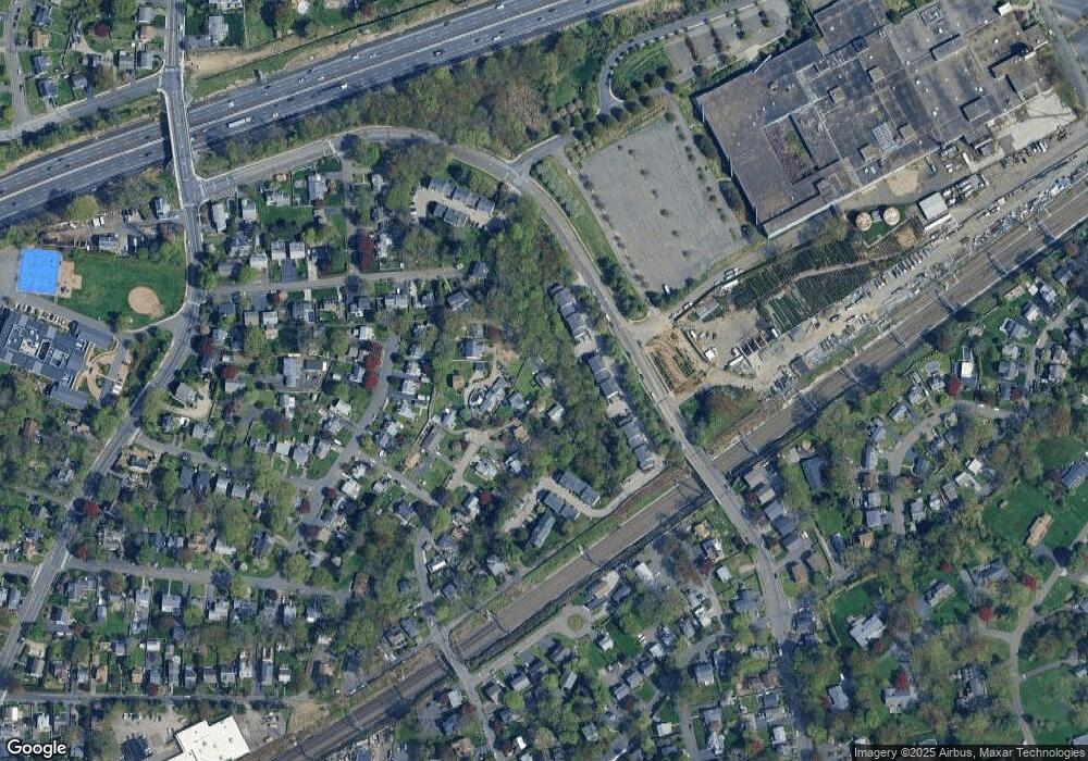
Map
Nearby Homes
- 18 Roxbury Rd
- 14 Scofield Place
- 25 Dairy Farm Rd
- 14 Dairy Farm Rd
- 17 Pequot Dr
- 162 Strawberry Hill Ave
- 6 Willow St
- 189 East Ave
- 1 1/2 Colony Place
- 16 Katy Ln
- 77 Walter Ave
- 12 Pine Hill Ave
- 2 Clearview Ave
- 142 East Ave Unit A103
- 142 East Ave Unit 403
- 142 East Ave Unit A304
- 144 East Ave Unit B404
- 142 East Ave Unit A102
- 26 Rowan St
- 16 Elton Ct
- 56 N Bridge St
- 51 N Bridge St
- 53 N Bridge St
- 49 N Bridge St
- 54 N Bridge St
- 11 Norden Place Unit 9
- 11 Norden Place Unit 8
- 11 Norden Place Unit 7
- 11 Norden Place Unit 6
- 11 Norden Place Unit 53
- 11 Norden Place Unit 52
- 11 Norden Place Unit 51
- 11 Norden Place Unit 50
- 11 Norden Place Unit 5
- 11 Norden Place Unit 49
- 11 Norden Place Unit 48
- 11 Norden Place Unit 47
- 11 Norden Place Unit 46
- 11 Norden Place Unit 45
- 11 Norden Place Unit 44