57 Neshoba Ct E Ellijay, GA 30540
Estimated Value: $595,000 - $842,000
3
Beds
5
Baths
4,405
Sq Ft
$168/Sq Ft
Est. Value
About This Home
This home is located at 57 Neshoba Ct E, Ellijay, GA 30540 and is currently estimated at $739,921, approximately $167 per square foot. 57 Neshoba Ct E is a home located in Gilmer County with nearby schools including Ellijay Elementary School, Clear Creek Elementary School, and Clear Creek Middle School.
Ownership History
Date
Name
Owned For
Owner Type
Purchase Details
Closed on
Nov 1, 1996
Bought by
Porter Thomas R and Porter Bren
Current Estimated Value
Purchase Details
Closed on
Jan 1, 1996
Bought by
Porter Thomas R and Porter Bren
Purchase Details
Closed on
Feb 1, 1984
Bought by
Porter Thomas R and Porter Bren
Create a Home Valuation Report for This Property
The Home Valuation Report is an in-depth analysis detailing your home's value as well as a comparison with similar homes in the area
Home Values in the Area
Average Home Value in this Area
Purchase History
| Date | Buyer | Sale Price | Title Company |
|---|---|---|---|
| Porter Thomas R | $24,800 | -- | |
| Porter Thomas R | $24,500 | -- | |
| Porter Thomas R | -- | -- |
Source: Public Records
Tax History Compared to Growth
Tax History
| Year | Tax Paid | Tax Assessment Tax Assessment Total Assessment is a certain percentage of the fair market value that is determined by local assessors to be the total taxable value of land and additions on the property. | Land | Improvement |
|---|---|---|---|---|
| 2025 | $747 | $268,440 | $28,000 | $240,440 |
| 2024 | $747 | $267,920 | $28,000 | $239,920 |
| 2023 | $768 | $261,920 | $22,000 | $239,920 |
| 2022 | $799 | $228,080 | $22,000 | $206,080 |
| 2021 | $876 | $182,600 | $20,000 | $162,600 |
| 2020 | $980 | $169,800 | $20,000 | $149,800 |
| 2019 | $1,025 | $169,800 | $20,000 | $149,800 |
| 2018 | $1,286 | $166,000 | $20,000 | $146,000 |
| 2017 | $1,241 | $155,360 | $17,000 | $138,360 |
| 2016 | $1,106 | $134,320 | $17,480 | $116,840 |
| 2015 | $1,057 | $136,400 | $17,480 | $118,920 |
| 2014 | $1,056 | $132,360 | $17,480 | $114,880 |
| 2013 | -- | $135,400 | $17,480 | $117,920 |
Source: Public Records
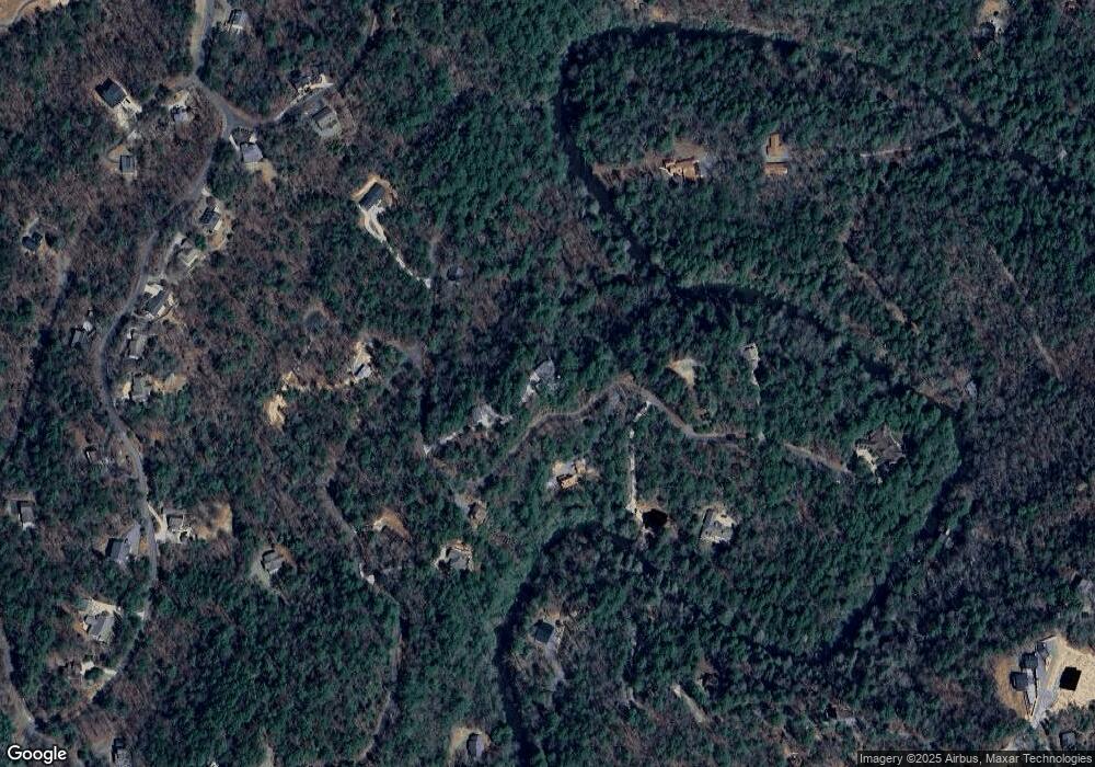
Map
Nearby Homes
- 577 Tonto Dr
- 89 N Whitepath Cir
- Lot 53 Whitepath Cir N
- 160 Nahunta Ct
- 804 Pocaset Dr
- Lot 332 Pocaset
- 382 Pocaset
- 573 Cataula Ct
- 695 Satsuma Ct
- LOT 546 Satsuma Ct
- 425 Riverbend Ct
- 1075 Cherokee Dr
- 25 Briar Creek Dr
- 12 Cherokee Dr
- 63 Hawk Trail
- 29 River Ranch Rd
- 122 River Bend Trail
- Lot 193 Shenendoa Dr
- LOT 195 Shenendoa Dr
- Lot 164 Shenendoa Dr
- L 619 Neshoba Ct
- n/a Neshoba Ct
- LT612 Neshoba Ct
- E Neshoba Ct Unit Lot 619
- Lot 619 Neshoba Ct
- 190 Neshoba Ct E Unit 626
- 190 Neshoba Ct E
- 200 Neshoba Ct E
- 0 Neshoba Ct Unit 617 8251196
- 0 Neshoba Ct Unit 616 8251170
- 0 Neshoba Ct Unit 5865078
- 0 Neshoba Ct Unit 8567437
- 0 Neshoba Ct Unit 6539567
- 414 Sapulpa Ct
- 0 Sapulpa Ct L596 597
- 80 Neshoba Ct E
- 423 Sapulpa Ct
- 604 Sapulpa Ct
- 195 Neshoba Ct E
- 240 Sapulpa Ct