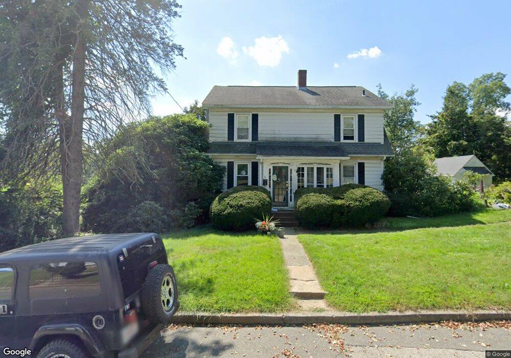
57 Old Sturbridge Rd Southbridge, MA 01550
Estimated Value: $340,000 - $382,000
4
Beds
1
Bath
1,664
Sq Ft
$216/Sq Ft
Est. Value
About This Home
This home is located at 57 Old Sturbridge Rd, Southbridge, MA 01550 and is currently estimated at $359,183, approximately $215 per square foot. 57 Old Sturbridge Rd is a home located in Worcester County with nearby schools including Old Sturbridge Academy Charter Public School, Trinity Catholic Academy, and ViewPoint Christian Academy.
Ownership History
Date
Name
Owned For
Owner Type
Purchase Details
Closed on
Feb 24, 1999
Sold by
Skowron James J and Skowron Vivian E
Bought by
Cambra Lawrence E and Mcdonagh Lynette F
Current Estimated Value
Home Financials for this Owner
Home Financials are based on the most recent Mortgage that was taken out on this home.
Original Mortgage
$90,250
Outstanding Balance
$21,898
Interest Rate
6.78%
Mortgage Type
Purchase Money Mortgage
Estimated Equity
$337,285
Create a Home Valuation Report for This Property
The Home Valuation Report is an in-depth analysis detailing your home's value as well as a comparison with similar homes in the area
Home Values in the Area
Average Home Value in this Area
Purchase History
| Date | Buyer | Sale Price | Title Company |
|---|---|---|---|
| Cambra Lawrence E | $95,000 | -- | |
| Cambra Lawrence E | $95,000 | -- |
Source: Public Records
Mortgage History
| Date | Status | Borrower | Loan Amount |
|---|---|---|---|
| Open | Cambra Lawrence E | $90,250 | |
| Closed | Cambra Lawrence E | $90,250 | |
| Previous Owner | Cambra Lawrence E | $65,000 | |
| Previous Owner | Cambra Lawrence E | $6,500 |
Source: Public Records
Tax History Compared to Growth
Tax History
| Year | Tax Paid | Tax Assessment Tax Assessment Total Assessment is a certain percentage of the fair market value that is determined by local assessors to be the total taxable value of land and additions on the property. | Land | Improvement |
|---|---|---|---|---|
| 2025 | $4,325 | $295,000 | $39,800 | $255,200 |
| 2024 | $4,207 | $275,700 | $33,100 | $242,600 |
| 2023 | $3,941 | $248,800 | $33,100 | $215,700 |
| 2022 | $3,714 | $207,500 | $28,300 | $179,200 |
| 2021 | $4,034 | $207,500 | $28,300 | $179,200 |
| 2020 | $3,917 | $201,100 | $28,300 | $172,800 |
| 2018 | $3,318 | $159,900 | $28,300 | $131,600 |
| 2017 | $3,314 | $161,100 | $28,300 | $132,800 |
| 2016 | $3,137 | $155,200 | $28,300 | $126,900 |
| 2015 | $2,950 | $144,900 | $28,300 | $116,600 |
| 2014 | $2,846 | $144,900 | $28,300 | $116,600 |
Source: Public Records
Map
Nearby Homes
- 38 Glenwood Ave
- 77 Westwood Pkwy
- 6 Walcott St
- 134 Pleasant St
- 72 High St
- Lot 1 Berry Farms Road-2 Acre
- 111 Plimpton St
- 6 Berry Farms Rd Unit 63
- 6 Berry Farms Rd Unit 6
- 6 Berry Farms Rd Unit 64
- 6 Berry Farms Rd Unit 3
- 36 Litchfield Ave
- 29 Fiske St
- 29 Hudson Ave
- 20 Glover St
- 45 River St
- 33 Clark St
- 37 River St
- 82 Cliff St
- 21 Orchard St
- 79 Old Sturbridge Rd
- 45 Old Sturbridge Rd
- 56 Old Sturbridge Rd
- 60 Old Sturbridge Rd
- 41 Old Sturbridge Rd
- 50 Old Sturbridge Rd
- 5 Roosevelt Dr
- 39 Old Sturbridge Rd
- 86 Old Sturbridge Rd
- 91 Old Sturbridge Rd
- 46 Old Sturbridge Rd
- 46 Old Sturbridge Rd
- 16 Roosevelt Dr
- 15 Roosevelt Dr
- 36 Old Sturbridge Rd
- 1042 Main St
- 4 Glenwood Ave
- 1038 Main St
- 21 Roosevelt Dr
- 3 Red Oak Ln Unit A