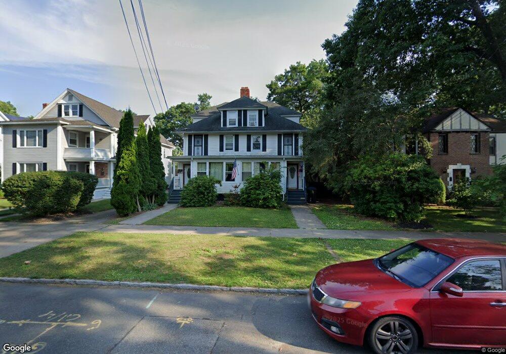
57 Olmsted Dr Unit 59 Springfield, MA 01108
Forest Park NeighborhoodEstimated Value: $422,000 - $507,904
10
Beds
3
Baths
3,832
Sq Ft
$119/Sq Ft
Est. Value
About This Home
This home is located at 57 Olmsted Dr Unit 59, Springfield, MA 01108 and is currently estimated at $457,726, approximately $119 per square foot. 57 Olmsted Dr Unit 59 is a home located in Hampden County with nearby schools including Alice B. Beal Elementary School, Forest Park Middle School, and High School Of Commerce.
Ownership History
Date
Name
Owned For
Owner Type
Purchase Details
Closed on
Jan 2, 2009
Sold by
Scala Anna V and Scala Frank R
Bought by
Lai Lan Thi and Tran Son Kin
Current Estimated Value
Home Financials for this Owner
Home Financials are based on the most recent Mortgage that was taken out on this home.
Original Mortgage
$118,500
Interest Rate
6.08%
Mortgage Type
Purchase Money Mortgage
Purchase Details
Closed on
Oct 12, 1993
Sold by
Kingston William J and Kingston Vivienne M
Bought by
Scala Frank R and Scala Anna
Create a Home Valuation Report for This Property
The Home Valuation Report is an in-depth analysis detailing your home's value as well as a comparison with similar homes in the area
Home Values in the Area
Average Home Value in this Area
Purchase History
We collect this data history from publicly available records. To have your information removed, we recommend requesting removal directly through your county’s website.
| Date | Buyer | Sale Price | Title Company |
|---|---|---|---|
| Lai Lan Thi | $237,000 | -- | |
| Scala Frank R | $122,500 | -- |
Source: Public Records
Mortgage History
We collect this data history from publicly available records. To have your information removed, we recommend requesting removal directly through your county’s website.
| Date | Status | Borrower | Loan Amount |
|---|---|---|---|
| Open | Scala Frank R | $116,900 | |
| Closed | Lai Lan Thi | $118,500 | |
| Previous Owner | Scala Frank R | $75,000 |
Source: Public Records
Tax History
| Year | Tax Paid | Tax Assessment Tax Assessment Total Assessment is a certain percentage of the fair market value that is determined by local assessors to be the total taxable value of land and additions on the property. | Land | Improvement |
|---|---|---|---|---|
| 2025 | $6,956 | $443,600 | $39,000 | $404,600 |
| 2024 | $6,324 | $393,800 | $39,000 | $354,800 |
| 2023 | $5,799 | $340,100 | $36,700 | $303,400 |
| 2022 | $5,674 | $301,500 | $34,300 | $267,200 |
| 2021 | $5,048 | $267,100 | $31,200 | $235,900 |
| 2020 | $5,009 | $256,500 | $31,200 | $225,300 |
| 2019 | $4,334 | $220,200 | $32,200 | $188,000 |
| 2018 | $4,273 | $217,100 | $32,200 | $184,900 |
| 2017 | $4,368 | $222,200 | $32,200 | $190,000 |
| 2016 | $4,087 | $207,900 | $32,200 | $175,700 |
| 2015 | $3,954 | $201,000 | $32,200 | $168,800 |
Source: Public Records
Map
Nearby Homes
- 58 Appleton St
- 117-119 Draper St
- 44 Meredith St
- 137 Carroll St
- 100 Belvidere St
- 186 Belvidere St
- 147 Belvidere St
- 24 Hiawatha St
- 15-19 Litchfield St
- 37-39 Wilmont St
- 276 Dickinson St
- 115 Pasadena St
- 227 Forest Park Ave
- 74 Kenwood Park
- 194 Sumner Ave
- 38 Manchester Terrace
- 30 Firglade Ave
- 115 Jamestown Dr
- 11-15 Belmont Place
- 14 Blodgett St
- 59 Olmsted Dr Unit 59
- 51 Olmsted Dr Unit 53
- 51 Olmsted Dr Unit 1FL
- 51-53 Olmsted Dr
- 65 Olmsted Dr
- 45 Olmsted Dr Unit 47
- 58 Bronson Terrace
- 52 Bronson Terrace
- 64 Bronson Terrace
- 46 Bronson Terrace
- 39 Olmsted Dr
- 77 Olmsted Dr
- 58-60 Olmsted Dr
- 62-64 Olmsted Dr Unit 2
- 62-64 Olmsted Dr
- 50-52 Olmsted Dr
- 62 Olmsted Dr Unit 64
- 62-64-64 Olmsted Dr Unit 64
- 58 Olmsted Dr Unit 60
- 40 Bronson Terrace
Your Personal Tour Guide
Ask me questions while you tour the home.