57 Overland Trail Mineral Bluff, GA 30559
Estimated Value: $332,765 - $605,000
--
Bed
3
Baths
1,296
Sq Ft
$375/Sq Ft
Est. Value
About This Home
This home is located at 57 Overland Trail, Mineral Bluff, GA 30559 and is currently estimated at $486,441, approximately $375 per square foot. 57 Overland Trail is a home located in Fannin County with nearby schools including Fannin County High School.
Ownership History
Date
Name
Owned For
Owner Type
Purchase Details
Closed on
Dec 19, 2003
Sold by
Terry L Labreck
Bought by
Fetzer Jan August and Fetzer Marie
Current Estimated Value
Purchase Details
Closed on
Jul 16, 2003
Sold by
Mandarell Samuel J
Bought by
Terry L Labreck
Purchase Details
Closed on
Nov 27, 2002
Sold by
Labreck Terry L
Bought by
Mandarell Samuel J
Purchase Details
Closed on
Nov 14, 2002
Sold by
Wind River Properties Inc
Bought by
Bruce Howell P
Create a Home Valuation Report for This Property
The Home Valuation Report is an in-depth analysis detailing your home's value as well as a comparison with similar homes in the area
Home Values in the Area
Average Home Value in this Area
Purchase History
| Date | Buyer | Sale Price | Title Company |
|---|---|---|---|
| Fetzer Jan August | $230,000 | -- | |
| Terry L Labreck | -- | -- | |
| Mandarell Samuel J | -- | -- | |
| Labreck Terry L | $214,900 | -- | |
| Bruce Howell P | $180,000 | -- |
Source: Public Records
Tax History Compared to Growth
Tax History
| Year | Tax Paid | Tax Assessment Tax Assessment Total Assessment is a certain percentage of the fair market value that is determined by local assessors to be the total taxable value of land and additions on the property. | Land | Improvement |
|---|---|---|---|---|
| 2024 | $362 | $117,702 | $14,952 | $102,750 |
| 2023 | $403 | $99,566 | $14,952 | $84,614 |
| 2022 | $403 | $100,618 | $14,952 | $85,666 |
| 2021 | $559 | $65,496 | $14,952 | $50,544 |
| 2020 | $567 | $65,496 | $14,952 | $50,544 |
| 2019 | $569 | $63,226 | $14,952 | $48,274 |
| 2018 | $616 | $63,226 | $14,952 | $48,274 |
| 2017 | $1,128 | $63,770 | $14,952 | $48,818 |
| 2016 | $647 | $61,416 | $14,952 | $46,464 |
| 2015 | $681 | $61,944 | $14,952 | $46,992 |
| 2014 | $737 | $65,532 | $14,952 | $50,580 |
| 2013 | -- | $55,376 | $14,952 | $40,424 |
Source: Public Records
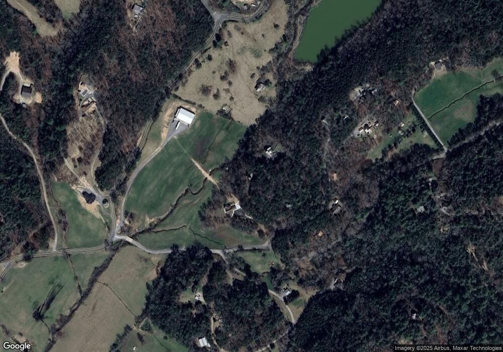
Map
Nearby Homes
- 295 Mountain Laurel Ridge
- 866 Mountain Laurel Ridge
- 0 Mountain Laurel Ridge Unit 23906395
- 1600 My Mountain Rd
- 105 Snowy Rd
- LOT 95 The Ridges
- Lot 44 Ridgeline Ln
- 653 The Woods Rd
- LOT 8 Murphy Ln
- 7.93 Cutcane Rd
- 56.46 Ac Cutcane Rd
- 83.98 Ac Cutcane Rd
- 419 Blue Ridge Trail
- Lot 133 Ridges of Blue Ridge
- LOT 1 Rocking Chair Ridge
- LOT 3 Rocking Chair Ridge
- LOT 37 Ridgeline Ln
- LOT 2 Rocking Chair Ridge
- 1164 Dividing Ridge Rd
- 80 Lodge Pole Trail
- 55 Frosty Mountain Rd
- 1443 Cutcane Rd
- 128 Nels Ridge Rd
- 88 Nels Ridge Rd
- 70 Frosty Mountain Rd
- 57 Yellowstone Trail
- 88 Nels Ridge Rd
- 42 Nels Ridge Rd
- 42 Nel's Ridge Rd
- 54 Nels Ridge Rd
- 192 Nels Ridge Rd
- 98 Frosty Mountain Rd
- 0 Dean Rd Unit 311867
- 0 Dean Rd Unit 3184010
- 659 Katydid Rd
- 102 Frosty Mountain Rd Unit 15
- 102 Frosty Mountain Rd
- 102 Frosty Mountain Rd
- 258 Nels Ridge Rd