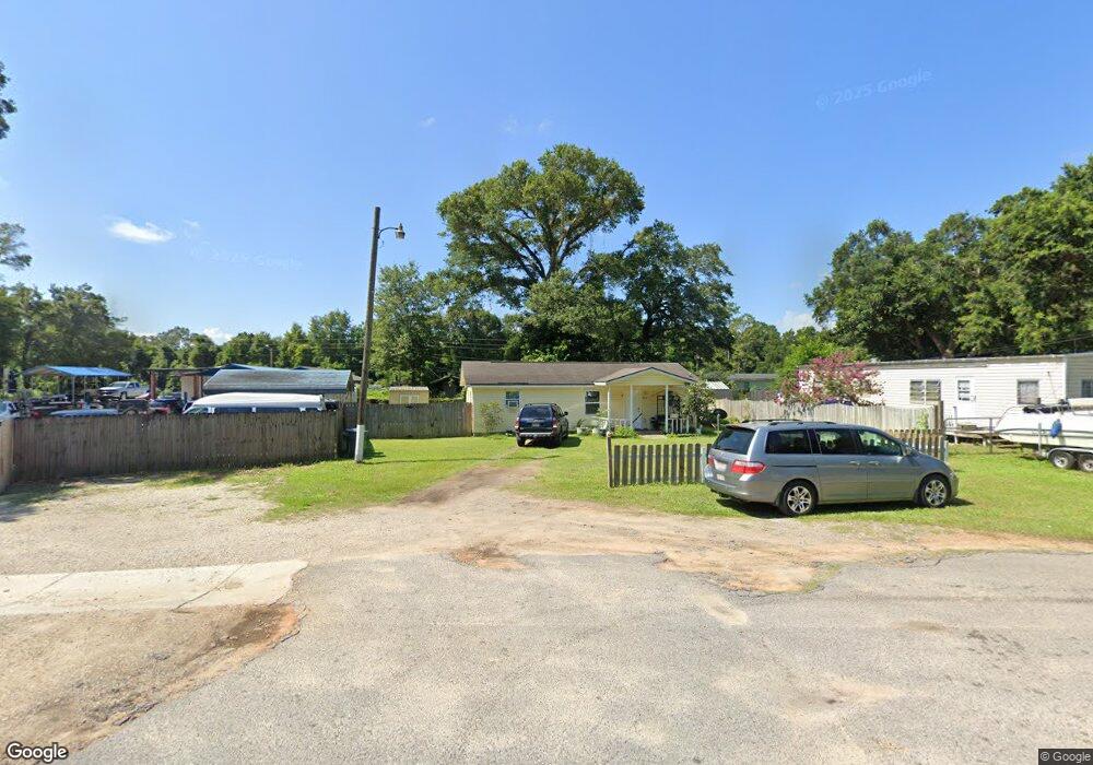
57 Page St Unit A Pensacola, FL 32534
Estimated Value: $89,000 - $148,000
--
Bed
1
Bath
880
Sq Ft
$131/Sq Ft
Est. Value
About This Home
This home is located at 57 Page St Unit A, Pensacola, FL 32534 and is currently estimated at $115,477, approximately $131 per square foot. 57 Page St Unit A is a home located in Escambia County with nearby schools including Ensley Elementary School, Beulah Middle School, and Pine Forest High School.
Ownership History
Date
Name
Owned For
Owner Type
Purchase Details
Closed on
Jul 14, 2020
Sold by
Huang Ricky
Bought by
Ar Sunshine Homes Llc
Current Estimated Value
Purchase Details
Closed on
Sep 21, 2010
Sold by
American General Home Equity Inc
Bought by
Huang Ricky
Purchase Details
Closed on
Feb 27, 2009
Sold by
Thomas Terry and Thomas Judy
Bought by
American General Home Equity Inc
Purchase Details
Closed on
Nov 25, 2002
Sold by
Walther Norman C and Walther Grace
Bought by
Thomas Terry and Thomas Judy
Create a Home Valuation Report for This Property
The Home Valuation Report is an in-depth analysis detailing your home's value as well as a comparison with similar homes in the area
Home Values in the Area
Average Home Value in this Area
Purchase History
| Date | Buyer | Sale Price | Title Company |
|---|---|---|---|
| Ar Sunshine Homes Llc | $100 | Sessa Anthony | |
| Huang Ricky | $21,000 | Attorney | |
| American General Home Equity Inc | $20,000 | None Available | |
| Thomas Terry | $27,000 | -- |
Source: Public Records
Tax History Compared to Growth
Tax History
| Year | Tax Paid | Tax Assessment Tax Assessment Total Assessment is a certain percentage of the fair market value that is determined by local assessors to be the total taxable value of land and additions on the property. | Land | Improvement |
|---|---|---|---|---|
| 2024 | $950 | $73,136 | $11,263 | $61,873 |
| 2023 | $950 | $59,629 | $0 | $0 |
| 2022 | $885 | $60,549 | $7,562 | $52,987 |
| 2021 | $808 | $49,281 | $0 | $0 |
| 2020 | $747 | $45,653 | $0 | $0 |
| 2019 | $719 | $43,184 | $0 | $0 |
| 2018 | $702 | $41,147 | $0 | $0 |
| 2017 | $675 | $38,332 | $0 | $0 |
| 2016 | $676 | $37,776 | $0 | $0 |
| 2015 | $664 | $38,107 | $0 | $0 |
| 2014 | $643 | $37,136 | $0 | $0 |
Source: Public Records
Map
Nearby Homes
- 21 W Detroit Blvd
- 111 Sabrina Dr
- 8355 Dudley Ave
- 8412 Pond Ave
- 8351 Dudley Ave
- 8332 Vickie St
- 8408 Pond Ave
- 8300 Vickie St
- 8916 Chemstrand Rd Unit 19
- 8531 Sonnyboy Ln
- 201 Charleston Dr
- 203 Charleston Dr
- 8781 Sonnyboy Ln
- 205 Charleston Dr
- 8422 Cherry Ave
- 8418 Cherry Ave
- 8140 House St
- 8080 Pinus Ln
- 8901 Bellawood Cir
- 8024 Hayworth Ave
- 82 E Johnson Ave
- 58 Page St
- 56 Page St
- 51 Page St
- 8501 Chemstrand Rd
- 8530 Laurel Ave
- 8567 Chemstrand Rd
- 28 Page St
- 0 Laurel Ave
- 8531 Laurel Ave
- 8605 Chemstrand Rd
- 24 Page St
- 8600 Laurel Ave
- 8554 Chemstrand Rd
- 8510 Poplar Ave
- 8615 Chemstrand Rd
- 20 Page St
- 124 Karen Cir
- 95 E Ensley St
- 103 E Johnson Ave