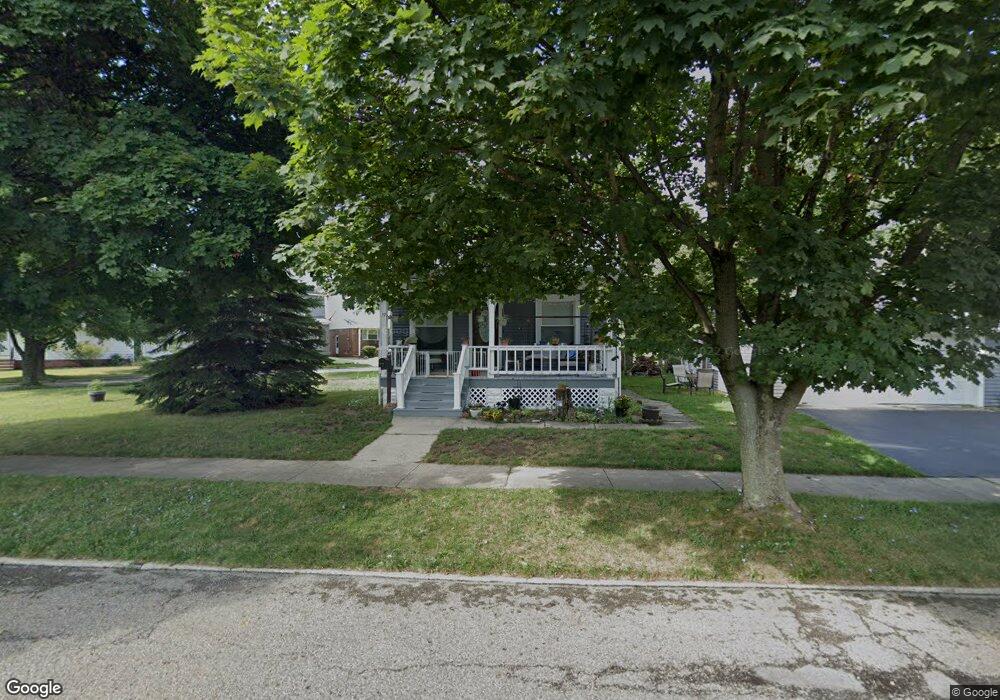
57 Paul St Bedford, OH 44146
Estimated Value: $153,000 - $161,991
4
Beds
1
Bath
1,440
Sq Ft
$109/Sq Ft
Est. Value
About This Home
This home is located at 57 Paul St, Bedford, OH 44146 and is currently estimated at $156,998, approximately $109 per square foot. 57 Paul St is a home located in Cuyahoga County with nearby schools including Heskett Middle School, Bedford High School, and Ohio College Preparatory School.
Ownership History
Date
Name
Owned For
Owner Type
Purchase Details
Closed on
Sep 1, 1999
Sold by
Stine Andrea F and Walters Andrea F
Bought by
Miller Barry W and Novak Colleen M
Current Estimated Value
Home Financials for this Owner
Home Financials are based on the most recent Mortgage that was taken out on this home.
Original Mortgage
$75,050
Outstanding Balance
$21,857
Interest Rate
7.59%
Estimated Equity
$135,141
Purchase Details
Closed on
Jan 21, 1982
Sold by
Stine Chester Earl
Bought by
Andrea F Stine
Purchase Details
Closed on
Aug 12, 1976
Sold by
Howard William R and Howard Joyce A
Bought by
Stine Chester Earl
Purchase Details
Closed on
Jan 1, 1975
Bought by
Howard William R and Howard Joyce A
Create a Home Valuation Report for This Property
The Home Valuation Report is an in-depth analysis detailing your home's value as well as a comparison with similar homes in the area
Home Values in the Area
Average Home Value in this Area
Purchase History
| Date | Buyer | Sale Price | Title Company |
|---|---|---|---|
| Miller Barry W | $79,000 | Chicago Title Insurance Comp | |
| Andrea F Stine | -- | -- | |
| Stine Chester Earl | $35,500 | -- | |
| Howard William R | -- | -- |
Source: Public Records
Mortgage History
| Date | Status | Borrower | Loan Amount |
|---|---|---|---|
| Open | Miller Barry W | $75,050 |
Source: Public Records
Tax History Compared to Growth
Tax History
| Year | Tax Paid | Tax Assessment Tax Assessment Total Assessment is a certain percentage of the fair market value that is determined by local assessors to be the total taxable value of land and additions on the property. | Land | Improvement |
|---|---|---|---|---|
| 2024 | $2,811 | $45,290 | $10,220 | $35,070 |
| 2023 | $3,064 | $43,060 | $8,720 | $34,340 |
| 2022 | $2,743 | $43,050 | $8,720 | $34,340 |
| 2021 | $2,662 | $43,050 | $8,720 | $34,340 |
| 2020 | $2,390 | $36,160 | $7,320 | $28,840 |
| 2019 | $2,957 | $103,300 | $20,900 | $82,400 |
| 2018 | $907 | $9,070 | $7,320 | $1,750 |
| 2017 | $2,344 | $26,400 | $6,760 | $19,640 |
| 2016 | $2,324 | $26,400 | $6,760 | $19,640 |
| 2015 | $2,329 | $26,400 | $6,760 | $19,640 |
| 2014 | $2,329 | $28,700 | $7,350 | $21,350 |
Source: Public Records
Map
Nearby Homes
- 33 William St
- 209 Dalepark Dr Unit 7
- 209 Dalepark Dr
- 200 Dalepark Dr Unit 3
- 80 Egbert Rd
- 194 Dalepark Dr Unit 5
- 92 John St
- 43 Forbes Rd
- 140 Cowles Ave
- 7262 Free Ave
- 7263 Free Ave
- 167 Willis St
- 772 Broadway Ave
- 730 Washington Ct
- 7349 Wright Ave
- 7222 Grove Ave
- 67 Woodrow Ave
- 7228 Grove Ave
- 809 Wellmon St
- 6569 Pau Ct