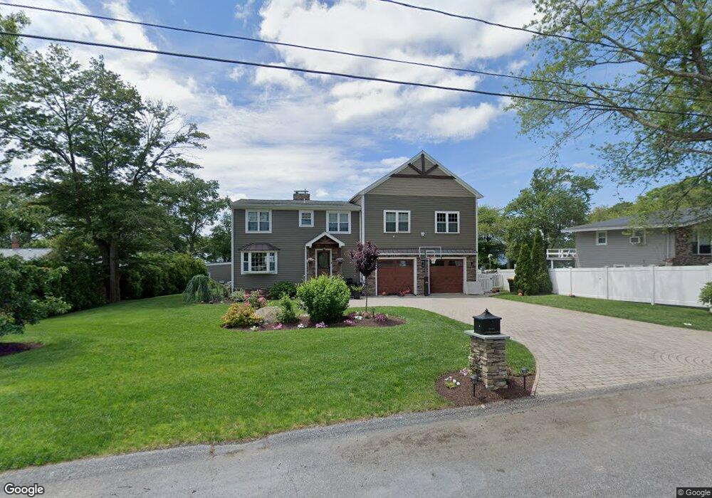
57 Plymouth Blvd Westport, MA 02790
North Westport NeighborhoodEstimated Value: $726,500 - $923,000
3
Beds
2
Baths
2,430
Sq Ft
$344/Sq Ft
Est. Value
About This Home
This home is located at 57 Plymouth Blvd, Westport, MA 02790 and is currently estimated at $834,875, approximately $343 per square foot. 57 Plymouth Blvd is a home located in Bristol County with nearby schools including Alice A. Macomber Primary School, Westport Elementary School, and Westport Middle-High School.
Ownership History
Date
Name
Owned For
Owner Type
Purchase Details
Closed on
Oct 21, 2016
Sold by
Bigos Ryan M and Bigos Kendra-Lin C
Bought by
Bigos Kendra-Lin C
Current Estimated Value
Purchase Details
Closed on
Jul 30, 2010
Sold by
Honeycutt Serena M and Amarello Paul J
Bought by
Bigos Ryan M and Bigos Kendra-Lin C
Purchase Details
Closed on
Oct 7, 2009
Sold by
Amarello Paul J and Honeycutt Serena
Bought by
Amarello Paul J and Honeycutt Serena
Create a Home Valuation Report for This Property
The Home Valuation Report is an in-depth analysis detailing your home's value as well as a comparison with similar homes in the area
Home Values in the Area
Average Home Value in this Area
Purchase History
| Date | Buyer | Sale Price | Title Company |
|---|---|---|---|
| Bigos Kendra-Lin C | -- | -- | |
| Bigos Ryan M | $285,000 | -- | |
| Amarello Paul J | -- | -- |
Source: Public Records
Mortgage History
| Date | Status | Borrower | Loan Amount |
|---|---|---|---|
| Previous Owner | Amarello Paul J | $255,000 | |
| Previous Owner | Amarello Paul J | $30,000 |
Source: Public Records
Tax History Compared to Growth
Tax History
| Year | Tax Paid | Tax Assessment Tax Assessment Total Assessment is a certain percentage of the fair market value that is determined by local assessors to be the total taxable value of land and additions on the property. | Land | Improvement |
|---|---|---|---|---|
| 2025 | $5,094 | $683,800 | $245,400 | $438,400 |
| 2024 | $4,976 | $643,700 | $214,300 | $429,400 |
| 2023 | $4,743 | $581,300 | $179,400 | $401,900 |
| 2022 | $4,040 | $476,400 | $167,000 | $309,400 |
| 2021 | $3,099 | $438,200 | $151,800 | $286,400 |
| 2020 | $3,036 | $418,300 | $145,800 | $272,500 |
| 2019 | $3,034 | $406,100 | $145,800 | $260,300 |
| 2018 | $3,717 | $417,600 | $157,000 | $260,600 |
| 2017 | $3,332 | $418,100 | $157,000 | $261,100 |
| 2016 | $3,036 | $383,800 | $151,100 | $232,700 |
| 2015 | $3,138 | $395,700 | $174,400 | $221,300 |
Source: Public Records
Map
Nearby Homes
- 53 Plymouth Blvd
- 63 Plymouth Blvd
- 48 Plymouth Blvd
- 67 Plymouth Blvd
- 47 Plymouth Blvd
- 46 Plymouth Blvd
- 71 Plymouth Blvd
- 47 Bill St Unit PLYMOUTH
- 56 Plymouth Blvd
- 50 Plymouth Blvd
- 46 Bill St Unit PLYMOUTH
- 68 Plymouth Blvd
- 70 Plymouth Blvd
- 75 Plymouth Blvd
- 75 Plymouth Blvd Unit 2
- 44 Plymouth Blvd
- 79 Plymouth Blvd
- 40 Plymouth Blvd
- 35 Plymouth Blvd
- 35 Plymouth Blvd