57 Pond Ave Plymouth, MA 02360
Estimated Value: $783,000 - $905,000
3
Beds
3
Baths
1,875
Sq Ft
$445/Sq Ft
Est. Value
About This Home
This home is located at 57 Pond Ave, Plymouth, MA 02360 and is currently estimated at $834,736, approximately $445 per square foot. 57 Pond Ave is a home located in Plymouth County with nearby schools including Indian Brook, Plymouth South Middle School, and Plymouth South High School.
Ownership History
Date
Name
Owned For
Owner Type
Purchase Details
Closed on
May 11, 2006
Sold by
Harvey Kenneth W and Harvey Lynne E
Bought by
Harvey Rt and Harvey Lynne E
Current Estimated Value
Purchase Details
Closed on
Nov 20, 2003
Sold by
Mayo Anthony A
Bought by
Demagistris Darin and Demagistris Patricia E
Home Financials for this Owner
Home Financials are based on the most recent Mortgage that was taken out on this home.
Original Mortgage
$322,700
Interest Rate
5.98%
Mortgage Type
Purchase Money Mortgage
Purchase Details
Closed on
Aug 2, 1999
Sold by
Est Hartman Anthony B and Hartman Denise S
Bought by
Mayo Antony A
Create a Home Valuation Report for This Property
The Home Valuation Report is an in-depth analysis detailing your home's value as well as a comparison with similar homes in the area
Home Values in the Area
Average Home Value in this Area
Purchase History
| Date | Buyer | Sale Price | Title Company |
|---|---|---|---|
| Harvey Rt | -- | -- | |
| Harvey Kenneth W | $560,000 | -- | |
| Harvey Rt | -- | -- | |
| Demagistris Darin | $485,000 | -- | |
| Demagistris Darin | $485,000 | -- | |
| Mayo Antony A | $57,600 | -- | |
| Mayo Antony A | $57,600 | -- |
Source: Public Records
Mortgage History
| Date | Status | Borrower | Loan Amount |
|---|---|---|---|
| Previous Owner | Mayo Antony A | $322,700 | |
| Previous Owner | Mayo Antony A | $150,000 |
Source: Public Records
Tax History Compared to Growth
Tax History
| Year | Tax Paid | Tax Assessment Tax Assessment Total Assessment is a certain percentage of the fair market value that is determined by local assessors to be the total taxable value of land and additions on the property. | Land | Improvement |
|---|---|---|---|---|
| 2025 | $8,210 | $647,000 | $251,200 | $395,800 |
| 2024 | $7,835 | $608,800 | $228,700 | $380,100 |
| 2023 | $7,689 | $560,800 | $207,300 | $353,500 |
| 2022 | $7,595 | $492,200 | $195,500 | $296,700 |
| 2021 | $7,269 | $449,800 | $195,500 | $254,300 |
| 2020 | $6,893 | $421,600 | $170,300 | $251,300 |
| 2019 | $6,813 | $411,900 | $159,000 | $252,900 |
| 2018 | $6,582 | $399,900 | $147,600 | $252,300 |
| 2017 | $6,179 | $372,700 | $147,600 | $225,100 |
| 2016 | $5,708 | $350,800 | $124,400 | $226,400 |
| 2015 | $5,394 | $347,100 | $119,200 | $227,900 |
| 2014 | $5,149 | $340,300 | $119,200 | $221,100 |
Source: Public Records
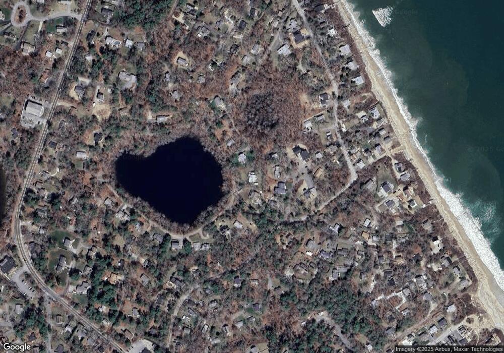
Map
Nearby Homes
- 61 Crescent Ave
- 881 State Rd
- 3 Hiawatha Rd
- 3 Clearwater Dr
- 32 Ray Rd
- 11 April Way
- 84 Bartlett Rd
- 22 Presidents Ln
- 115 Andrews Way
- 9 Kingston Rd
- 38 Hawley Ave
- 38 Hawley Ave Unit 38
- 39 Miter Dr Unit 8-1
- 24 Drum Dr Unit 24
- 40 Drum Dr Unit 40
- The Expanded Oak Plan at Alden's Reach - Attached & Detached Single Family Homes
- 91 Miter Dr Unit 18-1
- The Hickory Plan at Alden's Reach - Attached & Detached Single Family Homes
- 91 Miter Dr Unit 3-2
- The Spruce Plan at Alden's Reach - Attached & Detached Single Family Homes
- 61 Pond Ave
- 12 Round Hill Ave
- 6 Foxglove Dr
- 16 Round Hill Ave
- 10 Foxglove Dr
- 65 Pond Ave
- 8 Round Hill Ave
- 3 Foxglove Dr
- 15 Round Hill Ave
- 50 Old Beach Rd
- 36 Old Beach Rd
- 41 Old Beach Rd
- 54 Old Beach Rd
- 11 Round Hill Ave
- 51 Old Beach Rd
- 41 Pond Ave
- 34 Rabbit Pond Rd
- 14 Manomet Ave
- 20 Manomet Ave
- 22 Manomet Ave Unit 22