57 Queen Anns Ln West Bath, ME 04530
Estimated Value: $773,000 - $927,649
3
Beds
2
Baths
1,302
Sq Ft
$658/Sq Ft
Est. Value
About This Home
This home is located at 57 Queen Anns Ln, West Bath, ME 04530 and is currently estimated at $857,162, approximately $658 per square foot. 57 Queen Anns Ln is a home located in Sagadahoc County with nearby schools including Morse High School.
Ownership History
Date
Name
Owned For
Owner Type
Purchase Details
Closed on
Sep 13, 2024
Sold by
Houghton Pond Road Llc
Bought by
Seafarer T T and Seafarer Powers
Current Estimated Value
Purchase Details
Closed on
Sep 8, 2023
Sold by
Katz Lise
Bought by
Seafarer T T and Seafarer Powers
Purchase Details
Closed on
May 14, 2021
Sold by
Vanheek Jan and Vanheek Christine
Bought by
Katz Lise
Home Financials for this Owner
Home Financials are based on the most recent Mortgage that was taken out on this home.
Original Mortgage
$336,000
Interest Rate
3.1%
Mortgage Type
Purchase Money Mortgage
Create a Home Valuation Report for This Property
The Home Valuation Report is an in-depth analysis detailing your home's value as well as a comparison with similar homes in the area
Home Values in the Area
Average Home Value in this Area
Purchase History
| Date | Buyer | Sale Price | Title Company |
|---|---|---|---|
| Seafarer T T | $595,000 | None Available | |
| Seafarer T T | $595,000 | None Available | |
| Seafarer T T | $1,525,000 | None Available | |
| Seafarer T T | $1,525,000 | None Available | |
| Katz Lise | -- | None Available | |
| Katz Lise | -- | None Available |
Source: Public Records
Mortgage History
| Date | Status | Borrower | Loan Amount |
|---|---|---|---|
| Previous Owner | Katz Lise | $336,000 |
Source: Public Records
Tax History Compared to Growth
Tax History
| Year | Tax Paid | Tax Assessment Tax Assessment Total Assessment is a certain percentage of the fair market value that is determined by local assessors to be the total taxable value of land and additions on the property. | Land | Improvement |
|---|---|---|---|---|
| 2024 | $8,220 | $1,002,400 | $762,500 | $239,900 |
| 2023 | $6,816 | $1,002,400 | $762,500 | $239,900 |
| 2022 | $7,836 | $732,300 | $587,200 | $145,100 |
| 2021 | $7,689 | $732,300 | $587,200 | $145,100 |
| 2020 | $7,689 | $732,300 | $587,200 | $145,100 |
| 2019 | $7,689 | $732,300 | $587,200 | $145,100 |
| 2018 | $8,129 | $732,300 | $587,200 | $145,100 |
| 2017 | $7,868 | $702,500 | $560,400 | $142,100 |
| 2016 | $10,448 | $1,024,300 | $882,200 | $142,100 |
| 2015 | $10,456 | $1,005,400 | $863,300 | $142,100 |
| 2014 | $10,255 | $1,005,400 | $863,300 | $142,100 |
| 2013 | $10,205 | $1,005,400 | $863,300 | $142,100 |
Source: Public Records
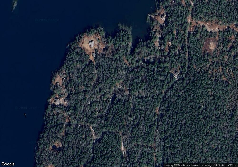
Map
Nearby Homes
- 93 Abbot Cove Rd
- 46 Dam Cove Rd
- 10 Birch Point Rd
- 88 Campbell Pond Rd
- 140 Clifford Rd
- 29 & 30 Nob Hill Ave
- 646 Gurnet Rd
- 197 Main Rd
- Lot #2 Rte 209 Main Rd
- 25 Echo Ln
- 0 Main Rd
- 242 Long Reach Ln
- 66 High St
- 37 & 38 S Dyers Cove Rd
- Lot 27 Howards Point Ln
- 260 Coombs Rd
- 0 Smithfield Crossing Unit 1643601
- 60 Rosedale Rd
- 15 Church Ln
- 47 Cluf Bay Rd
- 57 Queen Anns Ln
- 45 Tylers Way
- 45 Tyler's Way
- 59 Tyler's Way
- 55 Queen Anns Ln
- 50 Osprey Rd
- 0 Tyler Unit 1013300
- 103 Houghton Pond Rd
- 55 Tyler's Way
- 57 Tyler's Way
- 18 Hemlock Hill Rd
- 55 Tylers Way
- 14 Hemlock Hill Rd
- Lot 22 Abbott Cove Rd
- 0 Abbott Cove Rd Unit 1354217
- 0 Abbott Cove Rd Unit 1275829
- 0 Abbott Cove Rd Unit 1216060
- 24 Hemlock Hill Rd
- Lot 22-1 Abbott Cove Rd
- 63 Houghton Pond Rd