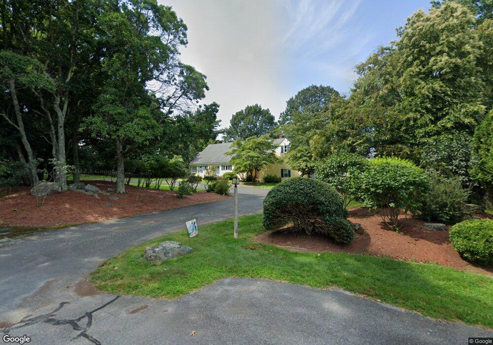
57 Red Gate Rd Cumberland, RI 02864
Ashton NeighborhoodEstimated Value: $874,094 - $1,241,000
4
Beds
3
Baths
3,812
Sq Ft
$269/Sq Ft
Est. Value
About This Home
This home is located at 57 Red Gate Rd, Cumberland, RI 02864 and is currently estimated at $1,027,274, approximately $269 per square foot. 57 Red Gate Rd is a home located in Providence County with nearby schools including Ashton Elementary School, Joseph L. McCourt Middle School, and Cumberland High School.
Ownership History
Date
Name
Owned For
Owner Type
Purchase Details
Closed on
May 27, 2010
Sold by
Lambrechts Peter and Campbell Jessica
Bought by
Lambrechts Peter and Lambrechts Jessica
Current Estimated Value
Purchase Details
Closed on
Feb 25, 2010
Sold by
Brown Christopher J
Bought by
Lambrechts Peter and Capparelli Jessica
Home Financials for this Owner
Home Financials are based on the most recent Mortgage that was taken out on this home.
Original Mortgage
$397,664
Interest Rate
5.11%
Mortgage Type
Purchase Money Mortgage
Create a Home Valuation Report for This Property
The Home Valuation Report is an in-depth analysis detailing your home's value as well as a comparison with similar homes in the area
Home Values in the Area
Average Home Value in this Area
Purchase History
| Date | Buyer | Sale Price | Title Company |
|---|---|---|---|
| Lambrechts Peter | -- | -- | |
| Lambrechts Peter | $405,000 | -- |
Source: Public Records
Mortgage History
| Date | Status | Borrower | Loan Amount |
|---|---|---|---|
| Open | Lambrechts Peter | $64,500 | |
| Open | Lambrechts Peter | $394,944 | |
| Previous Owner | Lambrechts Peter | $397,664 |
Source: Public Records
Tax History
| Year | Tax Paid | Tax Assessment Tax Assessment Total Assessment is a certain percentage of the fair market value that is determined by local assessors to be the total taxable value of land and additions on the property. | Land | Improvement |
|---|---|---|---|---|
| 2025 | $9,185 | $748,600 | $137,300 | $611,300 |
| 2024 | $8,946 | $748,600 | $137,300 | $611,300 |
| 2023 | $8,699 | $748,600 | $137,300 | $611,300 |
| 2022 | $8,339 | $556,300 | $106,100 | $450,200 |
| 2021 | $8,200 | $556,300 | $106,100 | $450,200 |
| 2020 | $7,966 | $556,300 | $106,100 | $450,200 |
| 2019 | $8,388 | $528,200 | $124,500 | $403,700 |
| 2018 | $8,145 | $528,200 | $124,500 | $403,700 |
| 2017 | $8,034 | $528,200 | $124,500 | $403,700 |
| 2016 | $8,482 | $496,600 | $125,400 | $371,200 |
| 2015 | $8,482 | $496,600 | $125,400 | $371,200 |
| 2014 | $8,482 | $496,600 | $125,400 | $371,200 |
| 2013 | $7,918 | $501,800 | $125,600 | $376,200 |
Source: Public Records
Map
Nearby Homes
- 1 Barway Ln
- 1251 Mendon Rd
- 3 Barrett St
- 7 Hidden Valley Ln
- 97 Angell Rd
- 200 Old Mendon Rd
- 136 Roland St
- 1551 Diamond Hill Rd
- 500 Mendon Rd Unit 320
- 0 Narragansett Rd
- 24 Narragansett Ave
- 18 Narragansett Ave
- 107 Old River Rd Unit 11
- 98 Iroquois Rd
- 164 Scott Rd
- 34 Dexter Rock Rd
- 51 Pequot Ave
- 43 Massachusetts Ave
- 202 Marshall Ave
- 140 Lippitt Ave
- 55 Red Gate Rd
- 59 Red Gate Rd
- 56 Red Gate Rd
- 20 Valley Stream Dr
- 51 Red Gate Rd
- 22 Valley Stream Dr
- 61 Red Gate Rd
- 54 Red Gate Rd
- 16 Valley Stream Dr
- 2 Stone Bridge Dr
- 47 Red Gate Rd
- 50 Red Gate Rd
- 14 Valley Stream Dr
- 4 Stone Bridge Dr
- 65 Red Gate Rd
- 48 Red Gate Rd
- 3 Stone Bridge Dr
- 43 Red Gate Rd
- 21 Valley Stream Dr
- 23 Valley Stream Dr
Your Personal Tour Guide
Ask me questions while you tour the home.