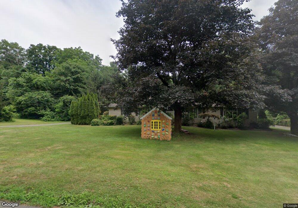
57 Renshaw Rd Hamden, CT 06518
Estimated Value: $396,023 - $431,000
3
Beds
2
Baths
1,616
Sq Ft
$259/Sq Ft
Est. Value
About This Home
This home is located at 57 Renshaw Rd, Hamden, CT 06518 and is currently estimated at $419,006, approximately $259 per square foot. 57 Renshaw Rd is a home located in New Haven County with nearby schools including West Woods School, Hamden Middle School, and Hamden High School.
Ownership History
Date
Name
Owned For
Owner Type
Purchase Details
Closed on
Apr 28, 2005
Sold by
Saccavino Salvatore F and Saccavino Pamela L
Bought by
Joseph Stacey
Current Estimated Value
Home Financials for this Owner
Home Financials are based on the most recent Mortgage that was taken out on this home.
Original Mortgage
$274,500
Interest Rate
5.95%
Purchase Details
Closed on
Dec 12, 2003
Sold by
Haas John W and Haas Adele G
Bought by
Saccavino Salvatore F and Saccavino Pamela L
Home Financials for this Owner
Home Financials are based on the most recent Mortgage that was taken out on this home.
Original Mortgage
$85,000
Interest Rate
5.9%
Purchase Details
Closed on
Nov 9, 1989
Sold by
Headrick Billy E
Bought by
Haas John W
Create a Home Valuation Report for This Property
The Home Valuation Report is an in-depth analysis detailing your home's value as well as a comparison with similar homes in the area
Home Values in the Area
Average Home Value in this Area
Purchase History
| Date | Buyer | Sale Price | Title Company |
|---|---|---|---|
| Joseph Stacey | $305,000 | -- | |
| Saccavino Salvatore F | $248,500 | -- | |
| Haas John W | $180,000 | -- |
Source: Public Records
Mortgage History
| Date | Status | Borrower | Loan Amount |
|---|---|---|---|
| Open | Haas John W | $266,100 | |
| Closed | Haas John W | $278,900 | |
| Closed | Haas John W | $274,500 | |
| Previous Owner | Haas John W | $85,000 |
Source: Public Records
Tax History
| Year | Tax Paid | Tax Assessment Tax Assessment Total Assessment is a certain percentage of the fair market value that is determined by local assessors to be the total taxable value of land and additions on the property. | Land | Improvement |
|---|---|---|---|---|
| 2025 | $11,719 | $225,890 | $52,640 | $173,250 |
| 2024 | $7,957 | $143,080 | $33,530 | $109,550 |
| 2023 | $8,067 | $143,080 | $33,530 | $109,550 |
| 2022 | $7,938 | $143,080 | $33,530 | $109,550 |
| 2021 | $7,503 | $143,080 | $33,530 | $109,550 |
| 2020 | $8,263 | $158,970 | $81,690 | $77,280 |
| 2019 | $7,767 | $158,970 | $81,690 | $77,280 |
| 2018 | $7,624 | $158,970 | $81,690 | $77,280 |
| 2017 | $7,195 | $158,970 | $81,690 | $77,280 |
| 2016 | $7,211 | $158,970 | $81,690 | $77,280 |
| 2015 | $7,373 | $180,390 | $90,790 | $89,600 |
| 2014 | $7,203 | $180,390 | $90,790 | $89,600 |
Source: Public Records
Map
Nearby Homes
- 4183 Whitney Ave
- 130 Murlyn Rd
- 161 Sleeping Giant Dr
- 1 Pond Hollow Unit 1
- 3409 Whitney Ave Unit 1
- 110 Dickerman St
- 51 Charlton Hill Rd
- 26 Knob Hill Dr
- 2838 Whitney Ave Unit 2
- 18 Anns Farm Rd
- 93 Cannon St
- 68 Todd St
- 35 Todd St Unit 103
- 95 Ash Dr
- 399 W Woods Rd
- 55 Forest St
- 660 Sherman Ave
- 32 Forest Ct N
- 1244 Shepard Ave
- 46 Forest Ct N