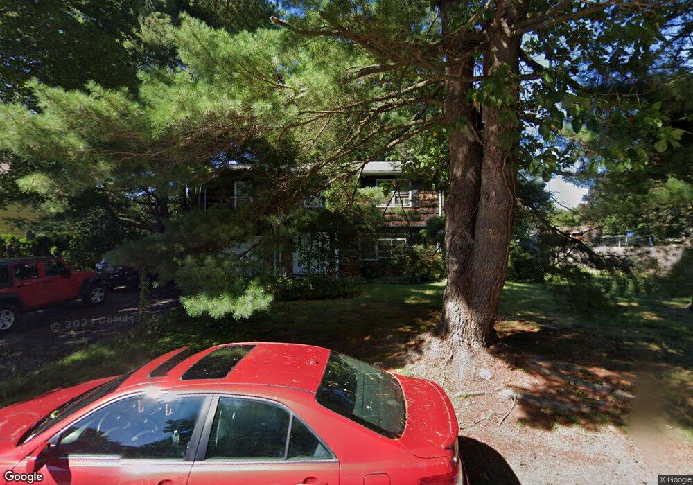
57 Richard Rd Holliston, MA 01746
Estimated Value: $666,000 - $829,000
4
Beds
3
Baths
2,349
Sq Ft
$319/Sq Ft
Est. Value
About This Home
This home is located at 57 Richard Rd, Holliston, MA 01746 and is currently estimated at $750,241, approximately $319 per square foot. 57 Richard Rd is a home located in Middlesex County with nearby schools including Miller Elementary School, Robert H. Adams Middle School, and Holliston High School.
Ownership History
Date
Name
Owned For
Owner Type
Purchase Details
Closed on
Jul 16, 2024
Sold by
Toll Ma Land Iii Ltd Part
Bought by
Michael C Vanin T C and Michael Vanin
Current Estimated Value
Purchase Details
Closed on
Jan 12, 2023
Sold by
Fischer Barbara A
Bought by
57 Richard Road Rt and Fischer
Purchase Details
Closed on
Jan 1, 1968
Bought by
Fischer Irwin and Fischer Barbara A
Create a Home Valuation Report for This Property
The Home Valuation Report is an in-depth analysis detailing your home's value as well as a comparison with similar homes in the area
Home Values in the Area
Average Home Value in this Area
Purchase History
| Date | Buyer | Sale Price | Title Company |
|---|---|---|---|
| Michael C Vanin T C | -- | None Available | |
| Michael C Vanin T C | -- | None Available | |
| 57 Richard Road Rt | -- | None Available | |
| 57 Richard Road Rt | -- | None Available | |
| Fischer Irwin | $26,500 | -- |
Source: Public Records
Mortgage History
| Date | Status | Borrower | Loan Amount |
|---|---|---|---|
| Previous Owner | Fischer Irwin | $100,000 |
Source: Public Records
Tax History Compared to Growth
Tax History
| Year | Tax Paid | Tax Assessment Tax Assessment Total Assessment is a certain percentage of the fair market value that is determined by local assessors to be the total taxable value of land and additions on the property. | Land | Improvement |
|---|---|---|---|---|
| 2025 | $9,041 | $617,100 | $267,500 | $349,600 |
| 2024 | $8,384 | $556,700 | $267,500 | $289,200 |
| 2023 | $8,299 | $538,900 | $267,500 | $271,400 |
| 2022 | $8,158 | $469,400 | $267,500 | $201,900 |
| 2021 | $7,983 | $447,200 | $245,300 | $201,900 |
| 2020 | $7,957 | $422,100 | $240,600 | $181,500 |
| 2019 | $7,291 | $387,200 | $209,200 | $178,000 |
| 2018 | $7,229 | $387,200 | $209,200 | $178,000 |
| 2017 | $7,076 | $382,100 | $201,300 | $180,800 |
| 2016 | $6,674 | $355,200 | $176,100 | $179,100 |
| 2015 | $6,618 | $341,500 | $158,100 | $183,400 |
Source: Public Records
Map
Nearby Homes
- 150 Westfield Dr
- 32 Colonial Way
- 59 Turner Rd
- 133 Brooksmont Dr Unit 43
- 95 Brooksmont Dr Unit 26
- 56 Roy Ave
- 152 Turner Rd Unit 43
- 152 Turner Rd Unit 14
- 54 Westfield Dr
- 147 Turner Rd Unit 80
- 131 Jennings Rd
- 195 High St
- 74 Meeting House Path
- 72 Meeting House Path
- 11 Francine Dr
- 160 Winter St
- 8 Raymond Way
- 97 Meeting House Path Unit 97
- 277 Meeting House Path
- 157 Leland Farm Rd
- 61 Richard Rd
- 160 Westfield Dr
- 156 Westfield Dr
- 164 Westfield Dr
- 65 Richard Rd
- 63 Temi Rd
- 168 Westfield Dr
- 69 Richard Rd
- 59 Temi Rd
- 146 Westfield Dr
- 66 Richard Rd
- 159 Westfield Dr
- 155 Westfield Dr
- 16 Ruth Ellen Rd
- 172 Westfield Dr
- 163 Westfield Dr
- 12 Ruth Ellen Rd
- 20 Ruth Ellen Rd
- 75 Richard Rd
- 149 Westfield Dr