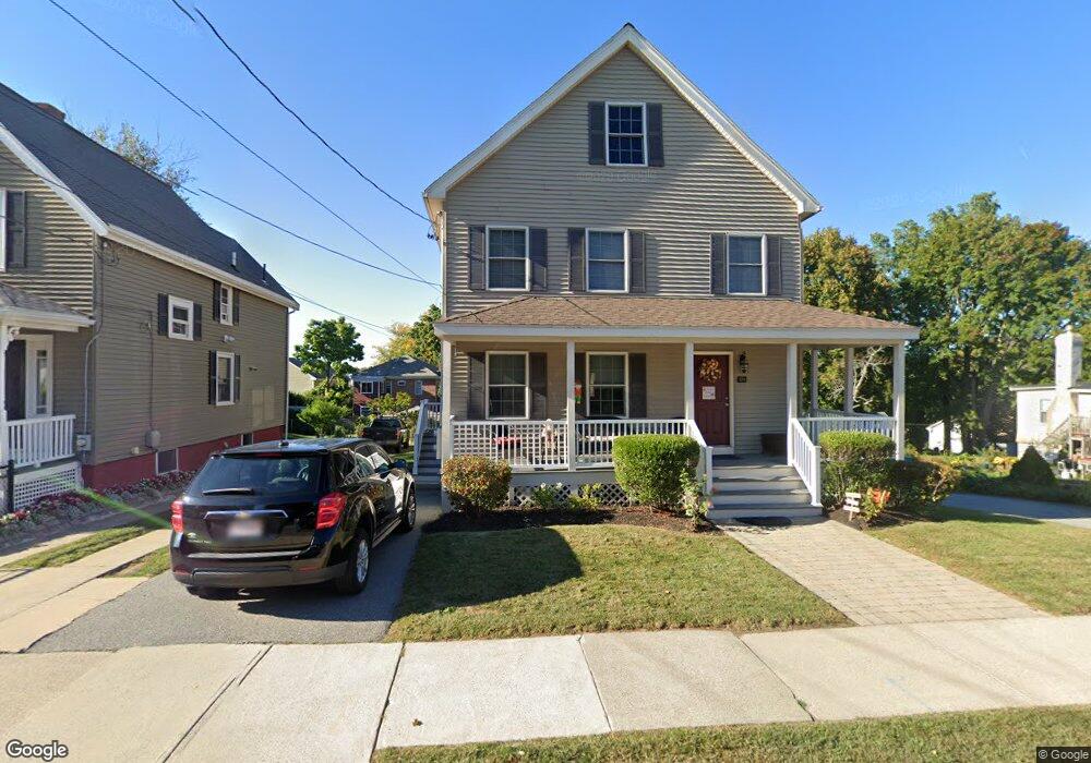
57 Richardson St Unit B Wakefield, MA 01880
East Side NeighborhoodEstimated Value: $812,000 - $894,000
3
Beds
2
Baths
2,102
Sq Ft
$400/Sq Ft
Est. Value
About This Home
This home is located at 57 Richardson St Unit B, Wakefield, MA 01880 and is currently estimated at $840,075, approximately $399 per square foot. 57 Richardson St Unit B is a home located in Middlesex County with nearby schools including Wakefield Memorial High School, St Joseph School, and Odyssey Day School.
Ownership History
Date
Name
Owned For
Owner Type
Purchase Details
Closed on
Aug 29, 2023
Sold by
Sheehan Edmund and Sheehan Sandra
Bought by
57B Richardson Street Irt and Gentile
Current Estimated Value
Purchase Details
Closed on
Jun 7, 2006
Sold by
Hilltop Nt and White
Bought by
Sheehan Edmund J and Sheehan Sandra
Home Financials for this Owner
Home Financials are based on the most recent Mortgage that was taken out on this home.
Original Mortgage
$214,500
Interest Rate
6.62%
Mortgage Type
Purchase Money Mortgage
Create a Home Valuation Report for This Property
The Home Valuation Report is an in-depth analysis detailing your home's value as well as a comparison with similar homes in the area
Home Values in the Area
Average Home Value in this Area
Purchase History
| Date | Buyer | Sale Price | Title Company |
|---|---|---|---|
| 57B Richardson Street Irt | -- | None Available | |
| Sheehan Edmund J | $440,000 | -- |
Source: Public Records
Mortgage History
| Date | Status | Borrower | Loan Amount |
|---|---|---|---|
| Previous Owner | Sheehan Edmund J | $214,500 |
Source: Public Records
Tax History Compared to Growth
Tax History
| Year | Tax Paid | Tax Assessment Tax Assessment Total Assessment is a certain percentage of the fair market value that is determined by local assessors to be the total taxable value of land and additions on the property. | Land | Improvement |
|---|---|---|---|---|
| 2025 | $7,964 | $701,700 | $0 | $701,700 |
| 2024 | $7,455 | $662,700 | $0 | $662,700 |
| 2023 | $7,545 | $643,200 | $0 | $643,200 |
| 2022 | $7,024 | $570,100 | $0 | $570,100 |
| 2021 | $6,626 | $520,500 | $0 | $520,500 |
| 2020 | $6,545 | $512,500 | $0 | $512,500 |
| 2019 | $6,079 | $473,800 | $0 | $473,800 |
| 2018 | $5,113 | $394,800 | $0 | $394,800 |
| 2017 | $5,144 | $394,800 | $0 | $394,800 |
| 2016 | $5,134 | $380,600 | $0 | $380,600 |
| 2015 | $5,029 | $373,100 | $0 | $373,100 |
| 2014 | $4,676 | $365,900 | $0 | $365,900 |
Source: Public Records
Map
Nearby Homes
- 22 Jefferson Rd
- 5 Bateman Ct Unit 5
- 38 Bennett St Unit 3D
- 51 Crescent St
- 134 Nahant St Unit B
- 16 Pleasant St
- 6 Blue Jay Cir Unit 2
- 314 Water St Unit 5
- 199 Nahant St
- 13 Highland St
- 50 Albion St
- 1 Millbrook Ln Unit 111
- 1 Millbrook Ln Unit 304
- 24 Park St
- 9 Avon St Unit 2
- 9 Lilah Cir
- Unit 208 Plan at Wrenly
- Unit 310 Plan at Wrenly
- 62 Foundry St Unit 310
- 62 Foundry St Unit 312
- 57 Richardson St Unit A
- 57 Richardson St
- 57A Richardson St
- 57A Richardson St Unit 1
- 49 Richardson St
- 49 Richardson St Unit 1
- 47 Richardson St
- 47 Richardson St Unit 2
- 16 Bancroft Ave
- 58 Richardson St
- 18 Bancroft Ave
- 59 Richardson St Unit A
- 59 Richardson St
- 59a Richardson St
- 59a Richardson St Unit Apartment 1
- 59a Richardson St
- 54 Richardson St
- 54 Richardson St Unit 2
- 14 Bancroft Ave
- 14 Bancroft Ave Unit 2