


57 Roseland St Unit 2 Somerville, MA 02143
Porter Square NeighborhoodAbout This Home
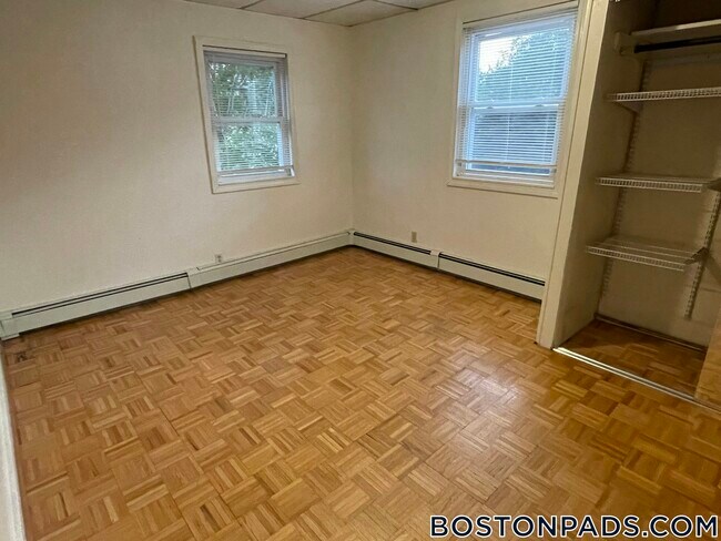
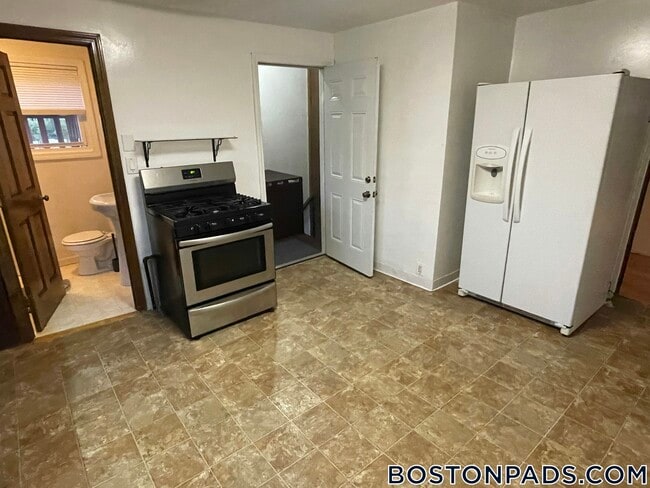
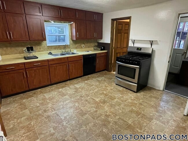
This nice 4 Bedrooms 2 Bath place in the SOMERVILLE - PORTER SQUARE area is available for 09-01-2026. Included Features are: Gas Heat, and Laundry in Basement, Free.
Boston Pads is not responsible for any errors, omissions and change in price, prior sale, rent and withdrawal without notice. All information from sources reliable but not guaranteed. Photographs, videos, description and information about the properties reflect conditions at the time the information was obtained. We are pledged to this letter and spirit of U.S. policy for the achievement of equal housing opportunity throughout the Nation. We encourage and support an affirmative advertising and marketing program in which there are no barriers to obtaining housing because of race, color, religion, sex, handicap, familial status, or national origin. ListingID = 88705

Map
- 12 Mossland St
- 14 Mossland St
- 749 Somerville Ave Unit 1
- 15-15A Forest St
- 1783 Massachusetts Ave Unit B
- 3 Arlington St Unit 52
- 32-40 White St
- 9 Carver St
- 8 Craigie St
- 1 Richdale Ave Unit 2
- 22 Agassiz St
- 1963 Massachusetts Ave Unit 404
- 33 Agassiz St
- 35 Ibbetson St
- 22 Lowell St Unit 3
- 20 Beech St
- 24 Cambridge Terrace Unit 2
- 7 Beech St Unit 319
- 7 Beech St Unit 211
- 42 Belmont St
- 5 Mossland St
- 5 Mossland St
- 372 Beacon St Unit 6
- 374 Beacon St
- 374 Beacon St
- 374 Beacon St Unit 1
- 28 Roseland St Unit 3
- 9 Mossland St Unit 3
- 755 Somerville Ave Unit Parking
- 146 Oxford St
- 146 Oxford St
- 148 Oxford St Unit 374-2
- 363 Beacon St Unit 3
- 363 Beacon St
- 741 Somerville Ave Unit 2
- 17 Forest St Unit 32D
- 17 Forest St Unit 3
- 17 Forest St
- 17 Forest St
- 17 Forest St