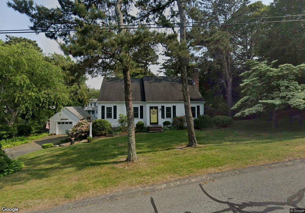
57 Sachem Dr Sagamore Beach, MA 02562
Estimated Value: $603,883 - $758,000
2
Beds
2
Baths
1,626
Sq Ft
$405/Sq Ft
Est. Value
About This Home
This home is located at 57 Sachem Dr, Sagamore Beach, MA 02562 and is currently estimated at $659,221, approximately $405 per square foot. 57 Sachem Dr is a home located in Barnstable County with nearby schools including Bourne High School, Bridgeview Montessori School, and New Testament Christian School.
Ownership History
Date
Name
Owned For
Owner Type
Purchase Details
Closed on
Feb 10, 2022
Sold by
Johnson Constance J and Johnson Kenneth L
Bought by
Constance J Johnson Ret and Johnson
Current Estimated Value
Purchase Details
Closed on
Jun 10, 1988
Sold by
Welch William P
Bought by
Johnson Kenneth L
Home Financials for this Owner
Home Financials are based on the most recent Mortgage that was taken out on this home.
Original Mortgage
$167,300
Interest Rate
10.21%
Mortgage Type
Purchase Money Mortgage
Create a Home Valuation Report for This Property
The Home Valuation Report is an in-depth analysis detailing your home's value as well as a comparison with similar homes in the area
Home Values in the Area
Average Home Value in this Area
Purchase History
| Date | Buyer | Sale Price | Title Company |
|---|---|---|---|
| Constance J Johnson Ret | -- | None Available | |
| Constance J Johnson Ret | -- | None Available | |
| Johnson Kenneth L | $185,900 | -- |
Source: Public Records
Mortgage History
| Date | Status | Borrower | Loan Amount |
|---|---|---|---|
| Previous Owner | Johnson Kenneth L | $167,300 |
Source: Public Records
Tax History Compared to Growth
Tax History
| Year | Tax Paid | Tax Assessment Tax Assessment Total Assessment is a certain percentage of the fair market value that is determined by local assessors to be the total taxable value of land and additions on the property. | Land | Improvement |
|---|---|---|---|---|
| 2025 | $4,213 | $539,400 | $199,800 | $339,600 |
| 2024 | $4,120 | $513,700 | $190,300 | $323,400 |
| 2023 | $4,012 | $455,400 | $168,400 | $287,000 |
| 2022 | $3,816 | $378,200 | $149,000 | $229,200 |
| 2021 | $3,886 | $345,100 | $135,600 | $209,500 |
| 2020 | $3,507 | $326,500 | $134,300 | $192,200 |
| 2019 | $3,324 | $316,300 | $134,300 | $182,000 |
| 2018 | $3,085 | $292,700 | $127,900 | $164,800 |
| 2017 | $2,926 | $284,100 | $126,700 | $157,400 |
| 2016 | $2,854 | $280,900 | $126,700 | $154,200 |
| 2015 | $2,713 | $269,400 | $115,200 | $154,200 |
Source: Public Records
Map
Nearby Homes
- 38 Siasconset Dr
- 42 Siasconset Dr
- 4 Fieldwood Dr
- 4 Fieldwood Dr
- 133 Phillips Rd
- 67 Phillips Rd
- 67 Phillips Rd
- 16 Ocean Pines Dr Unit B
- 311 Phillips Rd
- 18 Ocean Pines Dr Unit A
- 51 Commonwealth Ave
- 51 Commonwealth Ave
- 10 Tecumseh Rd
- 33 Buzzards Bay Ave
- 5 Oakwood Dr
- 15 Route 6a
- 0 State Rd
- 5 Pocasset Rd
- 6 Louis Ave
- 20 Brady Rd