Estimated Value: $1,541,328 - $1,573,000
5
Beds
2
Baths
2,533
Sq Ft
$616/Sq Ft
Est. Value
About This Home
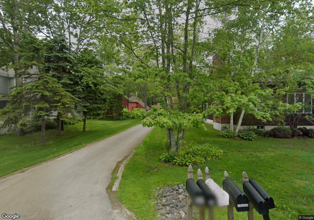
This home is located at 57 Shady Ln, Wells, ME 04090 and is currently estimated at $1,560,776, approximately $616 per square foot. 57 Shady Ln is a home located in York County with nearby schools including Wells Junior High School, Wells Elementary School, and Wells High School.
Ownership History
Date
Name
Owned For
Owner Type
Purchase Details
Closed on
Mar 10, 2025
Sold by
Schwartz Rt and Schwartz
Bought by
James L Mcgovern Iii Ret and Mcgovern
Current Estimated Value
Home Financials for this Owner
Home Financials are based on the most recent Mortgage that was taken out on this home.
Original Mortgage
$350,000
Outstanding Balance
$346,725
Interest Rate
6.96%
Mortgage Type
Purchase Money Mortgage
Estimated Equity
$1,214,051
Purchase Details
Closed on
Feb 24, 2016
Sold by
Schwartz Michael D and Schwartz Carolyn L
Bought by
Schwartz Rt and Schwartz
Create a Home Valuation Report for This Property
The Home Valuation Report is an in-depth analysis detailing your home's value as well as a comparison with similar homes in the area
Home Values in the Area
Average Home Value in this Area
Purchase History
| Date | Buyer | Sale Price | Title Company |
|---|---|---|---|
| James L Mcgovern Iii Ret | $1,500,000 | None Available | |
| James L Mcgovern Iii Ret | $1,500,000 | None Available | |
| James L Mcgovern Iii Ret | $1,500,000 | None Available | |
| Schwartz Rt | -- | -- | |
| Schwartz Rt | -- | -- |
Source: Public Records
Mortgage History
| Date | Status | Borrower | Loan Amount |
|---|---|---|---|
| Open | James L Mcgovern Iii Ret | $350,000 | |
| Closed | James L Mcgovern Iii Ret | $350,000 |
Source: Public Records
Tax History
| Year | Tax Paid | Tax Assessment Tax Assessment Total Assessment is a certain percentage of the fair market value that is determined by local assessors to be the total taxable value of land and additions on the property. | Land | Improvement |
|---|---|---|---|---|
| 2025 | $7,860 | $1,216,660 | $775,180 | $441,480 |
| 2024 | $7,350 | $1,208,960 | $775,180 | $433,780 |
| 2023 | $7,205 | $1,208,960 | $775,180 | $433,780 |
| 2022 | $6,225 | $595,120 | $355,380 | $239,740 |
| 2021 | $6,261 | $595,120 | $355,380 | $239,740 |
| 2020 | $6,220 | $593,470 | $355,380 | $238,090 |
| 2019 | $6,184 | $593,470 | $355,380 | $238,090 |
| 2018 | $6,015 | $593,470 | $355,380 | $238,090 |
| 2017 | $6,030 | $593,470 | $355,380 | $238,090 |
| 2016 | $5,970 | $593,470 | $355,380 | $238,090 |
| 2015 | $5,905 | $593,470 | $355,380 | $238,090 |
| 2013 | $5,412 | $593,470 | $355,380 | $238,090 |
Source: Public Records
Map
Nearby Homes
- 500 Atlantic Ave Unit 2
- 465 Atlantic Ave
- 446 Atlantic Ave
- 1801 Post Rd Unit 128
- 1801 Post Rd Unit 190
- 9 Robert Ln
- 1762 Post Rd Unit 206
- 1762 Post Rd Unit 138
- 0 Eastern Ave
- 99 Harbor Rd Unit Lot 52
- 99 Harbor Rd Unit Lot 54
- 170 Sylvan Way Unit 44
- 268 Atlantic Ave
- 1627 Post Rd Unit 5
- 50 Coles Hill Rd
- 225 Atlantic Ave
- 66 Nicholas Dr
- 28 Coggeshall Ln
- Lots 1-6 Pike Rd
- 20 Ray Mary Ln
Your Personal Tour Guide
Ask me questions while you tour the home.