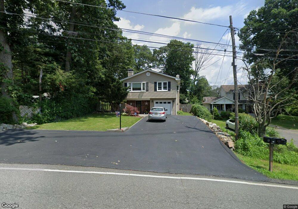
57 Shawnee Rd Hopatcong, NJ 07843
Estimated Value: $418,000 - $591,000
--
Bed
--
Bath
1,798
Sq Ft
$270/Sq Ft
Est. Value
About This Home
This home is located at 57 Shawnee Rd, Hopatcong, NJ 07843 and is currently estimated at $485,958, approximately $270 per square foot. 57 Shawnee Rd is a home located in Sussex County with nearby schools including Hudson Maxim Elementary School, Durban Avenue Elementary School, and Tulsa Trail Elementary School.
Ownership History
Date
Name
Owned For
Owner Type
Purchase Details
Closed on
Aug 20, 1990
Bought by
Johnston Kevin Michael and Johnston Helen A
Current Estimated Value
Create a Home Valuation Report for This Property
The Home Valuation Report is an in-depth analysis detailing your home's value as well as a comparison with similar homes in the area
Home Values in the Area
Average Home Value in this Area
Purchase History
| Date | Buyer | Sale Price | Title Company |
|---|---|---|---|
| Johnston Kevin Michael | $135,000 | -- |
Source: Public Records
Tax History Compared to Growth
Tax History
| Year | Tax Paid | Tax Assessment Tax Assessment Total Assessment is a certain percentage of the fair market value that is determined by local assessors to be the total taxable value of land and additions on the property. | Land | Improvement |
|---|---|---|---|---|
| 2025 | $7,923 | $380,000 | $143,800 | $236,200 |
| 2024 | $7,334 | $380,000 | $143,800 | $236,200 |
| 2023 | $7,334 | $209,600 | $77,500 | $132,100 |
| 2022 | $7,189 | $209,600 | $77,500 | $132,100 |
| 2021 | $7,068 | $209,600 | $77,500 | $132,100 |
| 2020 | $6,994 | $209,600 | $77,500 | $132,100 |
| 2019 | $6,965 | $209,600 | $77,500 | $132,100 |
| 2018 | $6,950 | $209,600 | $77,500 | $132,100 |
| 2017 | $6,940 | $209,600 | $77,500 | $132,100 |
| 2016 | $6,955 | $209,600 | $77,500 | $132,100 |
| 2015 | $6,797 | $209,600 | $77,500 | $132,100 |
| 2014 | $6,774 | $209,600 | $77,500 | $132,100 |
Source: Public Records
Map
Nearby Homes
- 315 Santa fe Trail
- 59 Hopatchung Rd
- 8 Cornell Way
- 109 Durban Ave
- 802 Brooklyn Mountain Rd
- 328 Tulsa Trail
- 104 Chincopee Ave
- 134 Monroe Trail
- 151 Monroe Trail
- 11 Bucknell Way
- 335 Elmira Trail
- 141 W End Ave
- 5 Geneva Trail
- 332 Elmira Trail
- 221 Chincopee Ave
- 626 Brooklyn Mountain Rd
- 214 Durban Ave
- 226 Chincopee Ave
- 176 Monroe Trail
- 17 Coolidge Trail
- 55 Shawnee Rd
- 59 Shawnee Rd
- 62 Hopatchung Rd
- 64 Hopatchung Rd
- 60 Hopatchung Rd
- 51 Shawnee Rd
- 66 Hopatchung Rd
- 22 Smoke Rise Rd
- 58 Hopatchung Rd
- 317 Santa fe Trail
- 18 Smoke Rise Rd
- 102 Monroe Trail
- 1 Dale Trail
- 47 Shawnee Rd
- 106 Homerlea Ave
- 3 Dale Trail
- 104 Homerlea Ave
- 16 Smoke Rise Rd
- 107 Monroe Trail
- 2 Dale Trail