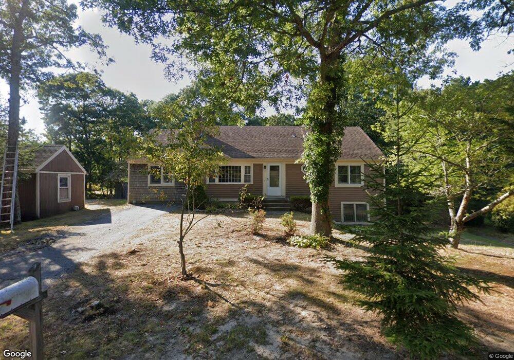
57 Stub Toe Rd Cotuit, MA 02635
Cotuit NeighborhoodEstimated Value: $585,147 - $674,000
3
Beds
3
Baths
1,272
Sq Ft
$491/Sq Ft
Est. Value
About This Home
This home is located at 57 Stub Toe Rd, Cotuit, MA 02635 and is currently estimated at $624,787, approximately $491 per square foot. 57 Stub Toe Rd is a home located in Barnstable County with nearby schools including West Villages Elementary School, Barnstable United Elementary School, and Barnstable Intermediate School.
Ownership History
Date
Name
Owned For
Owner Type
Purchase Details
Closed on
Sep 1, 1992
Sold by
Cfh Inc
Bought by
Powderly Daina J
Current Estimated Value
Home Financials for this Owner
Home Financials are based on the most recent Mortgage that was taken out on this home.
Original Mortgage
$66,800
Interest Rate
8.09%
Mortgage Type
Purchase Money Mortgage
Create a Home Valuation Report for This Property
The Home Valuation Report is an in-depth analysis detailing your home's value as well as a comparison with similar homes in the area
Home Values in the Area
Average Home Value in this Area
Purchase History
| Date | Buyer | Sale Price | Title Company |
|---|---|---|---|
| Powderly Daina J | $83,500 | -- |
Source: Public Records
Mortgage History
| Date | Status | Borrower | Loan Amount |
|---|---|---|---|
| Closed | Powderly Daina J | $66,800 |
Source: Public Records
Tax History
| Year | Tax Paid | Tax Assessment Tax Assessment Total Assessment is a certain percentage of the fair market value that is determined by local assessors to be the total taxable value of land and additions on the property. | Land | Improvement |
|---|---|---|---|---|
| 2025 | $4,439 | $531,600 | $171,800 | $359,800 |
| 2024 | $4,161 | $528,100 | $171,800 | $356,300 |
| 2023 | $3,868 | $462,100 | $156,200 | $305,900 |
| 2022 | $3,919 | $379,000 | $115,700 | $263,300 |
| 2021 | $3,800 | $344,200 | $115,700 | $228,500 |
| 2020 | $3,902 | $333,200 | $115,700 | $217,500 |
| 2019 | $3,641 | $306,500 | $115,700 | $190,800 |
| 2018 | $1,795 | $282,000 | $121,800 | $160,200 |
| 2017 | $3,214 | $272,400 | $121,800 | $150,600 |
| 2016 | $3,097 | $269,100 | $118,500 | $150,600 |
| 2015 | $3,030 | $263,000 | $120,600 | $142,400 |
Source: Public Records
Map
Nearby Homes
- 15 Geraldine Rd
- 1456 Santuit-Newtown Rd
- 78 Brittany Dr
- 170 Forest Hills Rd
- 602 Putnam Ave
- 1415 Old Post Rd
- 75 Bob White Run
- 152 Wakeby Rd
- 165 Baxter Neck Rd
- 68 Hilltop Dr
- 564 Cotuit Bay Dr
- 564 Cotuit Bay Dr
- 226 Dunrobin Rd
- 359 Baxter Neck Rd
- 173 Main St
- 835 Old Post Rd
- 4 Bishops Park
- 70 Cape Dr Unit 14D
- 70 Cape Dr Unit 11D
- 70 Cape Dr Unit 11D
- 69 Stub Toe Rd
- 52 Stub Toe Rd
- 14 Butternut Cir
- 43 Stub Toe Rd
- 70 Stub Toe Rd
- 81 Stub Toe Rd
- 19 Butternut Cir
- 24 Butternut Cir
- 34 Stub Toe Rd
- 84 Stub Toe Rd
- 70 Bramblebush Dr
- 29 Stub Toe Rd
- 19 Fox Den Bluff Rd
- 93 Stub Toe Rd
- 100 Stub Toe Rd
- 22 Stub Toe Rd
- 26 Butternut Cir
- 114 Pine View Dr
- 105 Stub Toe Rd
- 8 Stub Toe Rd
Your Personal Tour Guide
Ask me questions while you tour the home.