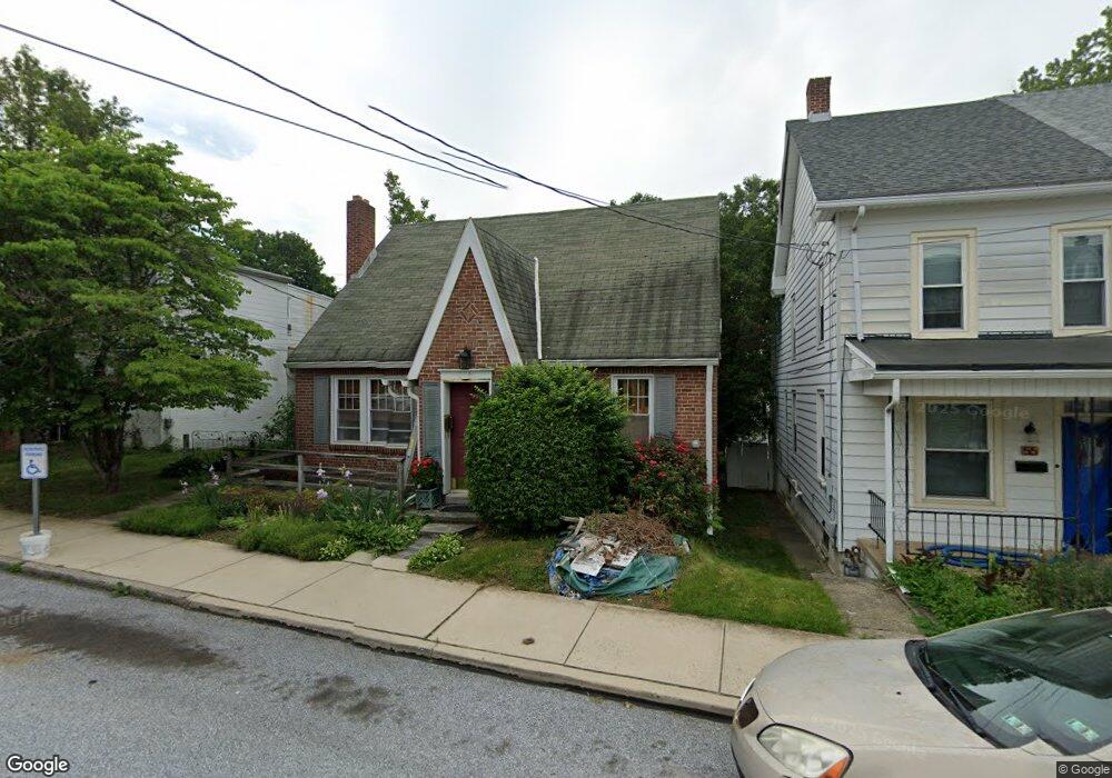
57 W Maple St Dallastown, PA 17313
Estimated Value: $179,000 - $244,000
3
Beds
1
Bath
1,643
Sq Ft
$133/Sq Ft
Est. Value
About This Home
This home is located at 57 W Maple St, Dallastown, PA 17313 and is currently estimated at $218,703, approximately $133 per square foot. 57 W Maple St is a home located in York County with nearby schools including Dallastown Elementary School, Dallastown Area Middle School, and Dallastown Area High School.
Ownership History
Date
Name
Owned For
Owner Type
Purchase Details
Closed on
Mar 14, 2006
Sold by
Lau Jeffrey G
Bought by
Lau Jeffrey G and Lau Linda K
Current Estimated Value
Home Financials for this Owner
Home Financials are based on the most recent Mortgage that was taken out on this home.
Original Mortgage
$68,000
Outstanding Balance
$38,385
Interest Rate
6.15%
Mortgage Type
Purchase Money Mortgage
Estimated Equity
$180,318
Purchase Details
Closed on
Apr 14, 2005
Sold by
Hager Robert and Hager Brenda L
Bought by
Lau Ii Jeffrey G
Purchase Details
Closed on
Oct 4, 2004
Sold by
Beard Mildred Lois and Beard Lois M
Bought by
Hager Robert and Hager Brenda L
Purchase Details
Closed on
Aug 1, 1985
Bought by
Greenplate Ronald L
Create a Home Valuation Report for This Property
The Home Valuation Report is an in-depth analysis detailing your home's value as well as a comparison with similar homes in the area
Home Values in the Area
Average Home Value in this Area
Purchase History
| Date | Buyer | Sale Price | Title Company |
|---|---|---|---|
| Lau Jeffrey G | $85,000 | None Available | |
| Lau Ii Jeffrey G | $22,000 | -- | |
| Hager Robert | $12,000 | -- | |
| Greenplate Ronald L | $45,500 | -- |
Source: Public Records
Mortgage History
| Date | Status | Borrower | Loan Amount |
|---|---|---|---|
| Open | Lau Jeffrey G | $68,000 |
Source: Public Records
Tax History
| Year | Tax Paid | Tax Assessment Tax Assessment Total Assessment is a certain percentage of the fair market value that is determined by local assessors to be the total taxable value of land and additions on the property. | Land | Improvement |
|---|---|---|---|---|
| 2025 | $3,433 | $98,840 | $19,740 | $79,100 |
| 2024 | $3,433 | $98,840 | $19,740 | $79,100 |
| 2023 | $3,433 | $98,840 | $19,740 | $79,100 |
| 2022 | $3,324 | $98,840 | $19,740 | $79,100 |
| 2021 | $3,134 | $98,840 | $19,740 | $79,100 |
| 2020 | $3,134 | $98,840 | $19,740 | $79,100 |
| 2019 | $3,124 | $98,840 | $19,740 | $79,100 |
| 2018 | $3,124 | $98,840 | $19,740 | $79,100 |
| 2017 | $3,003 | $98,840 | $19,740 | $79,100 |
| 2016 | $0 | $98,840 | $19,740 | $79,100 |
| 2015 | -- | $98,840 | $19,740 | $79,100 |
| 2014 | -- | $98,840 | $19,740 | $79,100 |
Source: Public Records
Map
Nearby Homes
- 328 W Maple St
- 353 W Chestnut St Unit 16
- 18 S Charles St
- 727 Blossom Hill Ln
- 314 S Pleasant Ave
- 695 Oak Rd
- 165 April Ln
- 606 Butterfly Cir
- 417 Frederick Dr
- 39 W George St
- 479 Frederick Dr
- 2893 Sunset Dr
- 150 Yoe Dr
- 113 Brant Dr
- 129 Heather Glen Dr Unit 78
- 127 Heather Glen Dr Unit 80
- 510 Katonah Dr Unit 6
- 227 Palomino Way Unit 164
- 750 Rydell Dr
- 94 Hudson Blvd
Your Personal Tour Guide
Ask me questions while you tour the home.