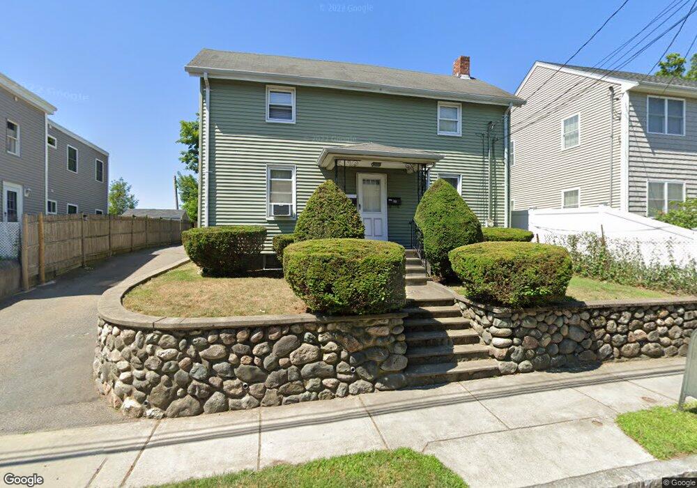
57 West St Newton, MA 02458
Nonantum NeighborhoodEstimated Value: $980,838 - $1,288,000
6
Beds
3
Baths
2,200
Sq Ft
$522/Sq Ft
Est. Value
About This Home
This home is located at 57 West St, Newton, MA 02458 and is currently estimated at $1,148,210, approximately $521 per square foot. 57 West St is a home located in Middlesex County with nearby schools including Lincoln-Eliot Elementary School, Bigelow Middle School, and Newton North High School.
Ownership History
Date
Name
Owned For
Owner Type
Purchase Details
Closed on
Jul 21, 2009
Sold by
Antonellis Dominic A
Bought by
Russakovsky Vladimir and Russakovsky Alex
Current Estimated Value
Home Financials for this Owner
Home Financials are based on the most recent Mortgage that was taken out on this home.
Original Mortgage
$412,000
Outstanding Balance
$268,898
Interest Rate
5.31%
Mortgage Type
Purchase Money Mortgage
Estimated Equity
$879,312
Create a Home Valuation Report for This Property
The Home Valuation Report is an in-depth analysis detailing your home's value as well as a comparison with similar homes in the area
Home Values in the Area
Average Home Value in this Area
Purchase History
| Date | Buyer | Sale Price | Title Company |
|---|---|---|---|
| Russakovsky Vladimir | $515,000 | -- |
Source: Public Records
Mortgage History
| Date | Status | Borrower | Loan Amount |
|---|---|---|---|
| Open | Russakovsky Vladimir | $412,000 |
Source: Public Records
Tax History Compared to Growth
Tax History
| Year | Tax Paid | Tax Assessment Tax Assessment Total Assessment is a certain percentage of the fair market value that is determined by local assessors to be the total taxable value of land and additions on the property. | Land | Improvement |
|---|---|---|---|---|
| 2025 | $8,454 | $862,700 | $579,100 | $283,600 |
| 2024 | $8,175 | $837,600 | $562,200 | $275,400 |
| 2023 | $7,788 | $765,000 | $445,100 | $319,900 |
| 2022 | $7,451 | $708,300 | $412,100 | $296,200 |
| 2021 | $6,992 | $649,800 | $378,100 | $271,700 |
| 2020 | $6,784 | $649,800 | $378,100 | $271,700 |
| 2019 | $6,346 | $607,300 | $353,400 | $253,900 |
| 2018 | $6,210 | $573,900 | $332,500 | $241,400 |
| 2017 | $5,855 | $526,500 | $305,000 | $221,500 |
| 2016 | $5,497 | $483,000 | $279,800 | $203,200 |
| 2015 | $5,241 | $451,400 | $261,500 | $189,900 |
Source: Public Records
Map
Nearby Homes
- 53 West St
- 188-190 Adams St
- 34 West St Unit A
- 86 West St
- 158 Adams St
- 11 Murphy Ct
- 3 Ashmont Ave
- 49 Hawthorn St
- 290 Watertown St Unit 3
- 290 Watertown St Unit 4
- 12-14 Middle St
- 22-24 Emerald St
- 338 Nevada St Unit 338
- 42-44 Judkins St
- 44 Faxon St Unit 2
- 324 Adams St Unit 2
- 90 Waban Park Unit 2
- 77 Pond Ave Unit 1103
- 282 Nevada St Unit 282
- 286 Nevada St Unit 286
- 59 W 2
- 59 W St 2
- 57 West St Unit 1
- 59 West St Unit 2
- 61 West St
- 64 West St Unit 64
- 49-51 West St
- 49 West St Unit 51
- 51 West St Unit 51
- 63 West St
- 52 West St
- 66 West St Unit 6
- 47 West St
- 65 West St
- 56 West St Unit 56
- 69 West St
- 69 West St Unit L3
- 69 West St Unit L6
- 50 West St Unit 52
- 188 Adams St Unit 190